


Kidbrooke, United Kingdom
Kidbrooke is a town of 14,300 people in England, United Kingdom.
Why visit Kidbrooke
Townapedia lists 67 museums and landmarks, 69 parks and trails, 247 places to eat, 2 places to stay and 9 attractions in and around town.
Highlights include Bob Hope Theatre, Broadway Theatre, Royal Observatory Greenwich and Ranger's House.
Weather in Kidbrooke
Forecast from MET Norway (CC BY 4.0). Full forecast
About Kidbrooke
Kidbrooke is an area of south-east London, England, in the Royal Borough of Greenwich 7+1⁄2 miles (12 km) south-east of Charing Cross and north west of Eltham.
From the Wikipedia article Kidbrooke (this version), under CC BY-SA 4.0.
Things to do9

Bob Hope Theatre
Cinema and theater · 1.4 mi
Community theatre in Eltham, Royal Borough of Greenwich, London, England

Broadway Theatre
Cinema and theater · 2.5 mi
Theatre and former cinema in Catford, Lewisham, London, England

Greenwich Theatre
Cinema and theater · 1.8 mi
Theatre in Greenwich, London, England


The Albany
Cinema and theater · 2.5 mi
Theatre and arts centre in Deptford, London, England

Biota!
Monument and historic site · 2.5 mi
Proposed aquarium in Docklands, London

Brockley Jack Theatre
Cinema and theater · 3.0 mi
Pub theatre in Crofton Park, Lewisham, London, England
Greenwich Playhouse
Cinema and theater · 2.0 mi
Former pub theatre in Greenwich, London, England
Museums and landmarks67

Royal Observatory Greenwich
Museum · 1.4 mi
Blackheath Avenue, London
Mo-Su 10:00-18:00; Dec 24-26 off

Ranger's House
Monument and historic site · 1.3 mi
May 23-Sep 20 Sa-Su 11:00-16:00;May 25,Aug 31 11:00-16:00;Aug 15 off


Queen Elizabeth's Oak
Monument and historic site · 1.3 mi
This tree known as Queen Elizabeth's Oak and is thought to have been planted in the 12th Century. It has traditions linking it with...


National Maritime Museum
Museum · 1.7 mi
Museum in London, England, United Kingdom

New Zealand Memorial
Monument and historic site · 1.9 mi
War memorial in Greenwich, London, England, UK

Goldsmiths CCA
Museum · 2.8 mi
Art gallery located at the University of London
Memorial to Peter the Great
Monument and historic site · 2.3 mi
Memorial in London by the sculptor Mihail Chemiakin
55 more on the map.
Parks, trails and playgrounds69


Manor House Gardens
Park · 1.2 mi
Public park and gardens situated in Lee, in south east London



East Greenwich Pleasaunce
Park · 1.3 mi
Park in the United Kingdom
Jan-Feb 08:00-16:00, Mar-Apr 08:00-18:00, May 08:00-20:00, Jun-Aug...
57 more on the map.
Restaurants and cafes247
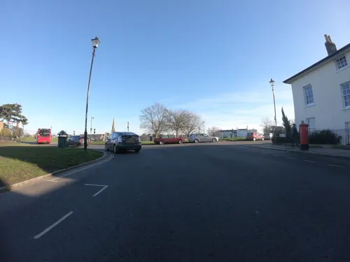
The Hare and Billet
Bar and pub · 1.0 mi
1a Eliot Cottages, London
Mo-Th 12:00-23:00; Fr 12:00-24:00; Sa 11:00-24:00; Su 11:00-22:30

The Royal Standard
Bar and pub · 0.8 mi
44 Vanbrugh Park, London
Mo-Th 12:00-23:00; Fr-Sa 12:00-24:00; Su 12:00-22:30

The Pavilion Café
Cafe · Pizza, Tea, Cake, Sandwich, Coffee Shop, Ice Cream, Burger · 1.3 mi
Mo-Su 08:00-16:00

The Vanbrugh
Bar and pub · 1.4 mi
91 Colomb Street, London
Mo-Tu 15:00-23:00; We-Fr 12:00-23:00; Sa 11:00-24:00; Su 11:00-21:00
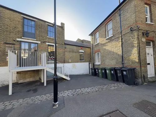
Zero Degrees
Restaurant · Pizza · 0.8 mi
Microbrewery, bar and restaurant
29-33 Montpelier Vale, London
Su-Th 12:00-24:00; Fr-Sa 12:00-25:00
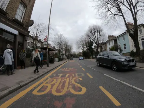
Boulangerie Jade
Cafe · French, Coffee Shop, Cake · 0.8 mi
48 Vanbrugh Park, London
Mo-Sa 08:00-17:00; Su 08:00-16:00
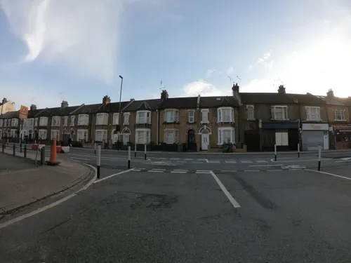
Castellano's Pizza
Restaurant · Pizza · 1.4 mi
139 Woolwich Road, London
Mo 16:00-22:00; Tu-Sa 12:00-23:00; Su 12:00-22:00
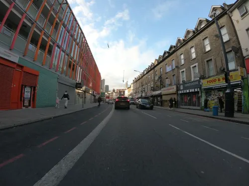
Cow Cow BBQ
Restaurant · Barbecue, Korean · 1.5 mi
47-49 Lee High Road, London
Mo-Tu, Th-Sa 13:00-22:00; Su 13:00-22:30
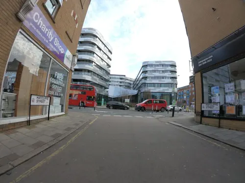
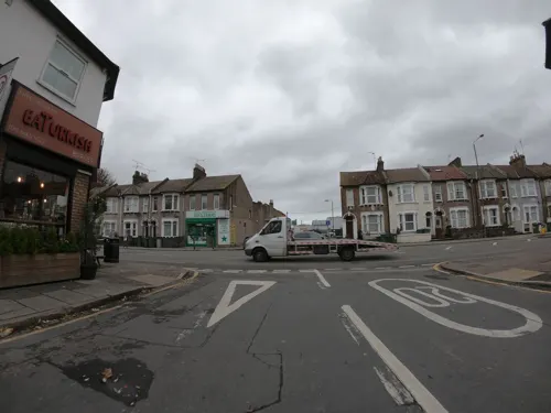
EaTurkish
Restaurant · Kebab · 1.4 mi
172 Woolwich Road, London
Mo-Th 12:00-22:30; Fr 14:00-23:00; Sa 12:00-23:00; Su 13:00-22:30

Cafe East Pho
Restaurant · Vietnamese · 0.8 mi
3,5 Montpelier Vale, London
Mo,We-Fr 11:00-15:00,17:00-22:00; Sa 11:00-16:00,17:00-22:00; Su...
Cha-Louis
Restaurant · Thai · 0.8 mi
1 Blackheath Grove, London
Tu-Th 12:00-14:30,17:00-21:30; Fr-Sa 12:00-14:30,17:00-22:00; Su...
235 more on the map.
History
Kidbrooke, derived from an Anglo-Saxon name meaning 'the brook where the kites were seen,' indicates that the area was uninhabited at the time of naming. With its three streams and heavy, wet clay, Kidbrooke would have been unsuitable for Saxon settlement.
However, by the late 11th or 12th century, Kidbrooke had established a church and likely had a small population, although this presence didn't endure. By 1428, the church lacked a priest, and by 1494, it had fallen into disrepair.
Remaining rural until the inauguration of Kidbrooke railway station in 1895, the region was primarily dedicated to farming until the 1930s. Significant development ensued, particularly following the construction of the Rochester Way. On 1 April 1901 the civil parish was abolished to form Charlton and Kidbrooke. At the 1891 census (one of the last before the abolition of the parish), Kidbrooke had a population of 2298.
The area contains a large amount of 1920s and 1930s domestic housing, developed partly as the Kidbrooke Park Estate, between Shooters Hill and Rochester Way.
Read more of the history
A large RAF stores base, RAF Kidbrooke, formerly occupied much of the land around Kidbrooke railway station, north and south of the railway line. In 1965 the Government released most of the land to the Greater London Council for housing. The Ferrier Estate, built from 1968, was conceived to be a flagship scheme but became one of the largest and most deprived council housing developments in London.
The housing estate was demolished in 2012 and has been redeveloped as Kidbrooke Village, a development of 5,300 homes masterplanned by Lifschutz Davidson Sandilands with Design and Build MEP contractor Cilantro Engineering.
From the History section of Kidbrooke on Wikipedia, under CC BY-SA 4.0.
More about Kidbrooke
Education
The Halley Academy — opened in 1954 as Kidbrooke School; the first purpose-built comprehensive school in Britain and became an academy in 2011 as Corelli College
From the Wikipedia article Kidbrooke, under CC BY-SA 4.0.
Notable people from Kidbrooke
 Jim DavidsonEnglish comedian and television hostPhoto: Transangst, CC BY-SA 3.0
- Junior StanislasEnglish association football player (born 1989)
- Stanley ChristophersonCricket player of England. (1861-1949)
- Percy ChristophersonEnglish rugby union footballer and cricketer (1866-1921)
- Q-TeeBritish rapper
Born in Kidbrooke, according to Wikidata (CC0). Each name links to its Wikipedia article.
Where to stay2
Churches and places of worship61
Shopping40
Gas and EV charging18
Schools, colleges and libraries62
All Saints' Church of England Primary School Blackheath
School · Anglican · 1.0 mi
2 Blackheath Vale, London
Healthcare28
Map of Kidbrooke
250 places. The map loads OpenStreetMap tiles when you open it.
Getting there and nearby towns
London City Airport (LCY) is the nearest airport with scheduled flights listed in OpenStreetMap, 3 miles away.
- Plumstead 3 mi northeast, about 4 min by car
- Sidcup 4 mi southeast, about 7 min by car
- Barking 5 mi northeast, about 8 min by car
- Stepney 5 mi northwest, about 7 min by car
- West Ham 5 mi north, about 7 min by car
- Bexley 6 mi east, about 9 min by car
- London 7 mi northwest, about 12 min by car
- Ilford 7 mi north, about 11 min by car
- Islington 7 mi northwest, about 12 min by car
- City of Westminster 7 mi west, about 12 min by car
Drive times are estimates from straight-line distance, not routes.
Towns near Kidbrooke


Keep exploring
Local news
Headlines from INDB.
Reviews, tips and questions
Loading what members have shared...
Sources and licences
- GeoNames (CC BY 4.0): population, coordinates, regions and time zone
- Mapillary (see each image): photos
- OpenStreetMap contributors (ODbL 1.0): places, airports, map data
- Wikidata (CC0 1.0): elevation, founding date, time zone, website, landmarks and historic places
- Wikimedia Commons (see each image): photos
- Wikipedia (CC BY-SA 4.0): overview and history text
Photo credits
- Joint Services School for Linguists plaque, Kidbrooke, Harry Bond, CC BY-SA 4.0
- Eltham highstreet 3, PeterEltham, CC BY-SA 3.0
- Broadway Theatre - Catford, Steve Cadman derivative work: MrPanyGoff, CC BY-SA 2.0
- Greenwichtheatre, Burnley, CC BY-SA 3.0
- Royal Victoria Dock Bridge, Liline sur Flickr, CC BY 2.0
- Albany Theatre in Deptford, SilkTork, CC BY-SA 3.0
- The Fan Museum (3400819225), Visit Greenwich from Greenwich, United Kingdom, CC BY 2.0
- EH1211481 National Maritime Museum 10 (cropped), Katie Chan, CC BY-SA 3.0
- New Zealand Memorial Obelisk, Greenwich, Prioryman, CC BY-SA 4.0
- Manor House Gardens, Hohlroller ( talk ), Public domain
- Beckton District Park South, Dudley Miles, CC0
- Birdbrook Road Nature Reserve 4, Dudley Miles, CC BY-SA 4.0
- Prime-meridian, Takasunrise0921, CC BY 2.5
- GreenwichParcRoyal, Photograher and original uploader was Sebjarod at fr.wikipedia, Public domain
- The Valley North and West Stands, en:User:Superbfc, CC BY-SA 3.0
- Charlton House, London, Bencherlite, CC BY-SA 3.0
- Church Army chapel 018, Linda Spashett Storye_book, CC BY 3.0
- Main entrance, Queen Elizabeth Hospital, Woolwich, Paul W, CC BY-SA 4.0
- EH1218679 The Ranger's House, Katie Chan, CC BY-SA 3.0
- Severndroog, Veghead, Public domain
- Ark Greenwich Free School buildings, Paul W, CC BY-SA 4.0
- St John's Church Blackheath, Mdhsmith, CC BY-SA 3.0
- 200248 Woolwich Church of St Luke, Simon Armstrong, CC BY-SA 3.0
- View over the Greenwich Park Barrow Cemetery, Ethan Doyle White, CC BY-SA 4.0
- The Clarendon Hotel (9175930801), Reading Tom from Reading, UK, CC BY 2.0
- AllSaints Blackheath, Taken by Mark Duwe, Vbloke at English Wikipedia, Public domain
- Blackheath Quaker Meeting House, south aspect (rotated), EEye, CC BY-SA 4.0
- Christ Church, Shooter's Hill, Ethan Doyle White, CC BY-SA 4.0
- Royal Standard, Blackheath, SE3, Ewan-M, CC BY-SA 2.0
- The Bookshop on the Heath (cropped), Reading Tom from Reading, UK, CC BY 2.0
- Pavilion Tea Rooms (4520968305), Garry Knight from London, England, CC BY 2.0
- St Matthew Academy 1, Mx. Granger, CC0
- West Face of the Church of St Margaret, Lee (II), Ethan Doyle White, CC BY-SA 4.0
- Eltham Common path, Dudley Miles, CC BY-SA 3.0
- Royal Observatory Greenwich - Altazimuth Pavilion (8142814614), Elliott Brown from Birmingham, United Kingdom, CC BY 2.0
- Queen Elizabeth's Oak Greenwich Park 6386, Photograph by Clem Rutter, Rochester, Kent. ( www.clemrutter.net )., CC BY-SA 3.0
- Queens Orchard, Greenwich Park opening plaque, Harry Bond, CC BY-SA 4.0
- Maryon Wilson Park, London Borough of Greenwich, SE7 (2242759112), Ewan Munro from London, UK, CC BY-SA 2.0
- Sutcliffe Park 1, Dudley Miles, CC BY-SA 3.0
- The Vanbrugh Closing Note, RedAuburn, CC BY-SA 4.0
- Street-level photo, wasd42, CC BY-SA 4.0
- Street-level photo, wasd42, CC BY-SA 4.0
- Street-level photo, wibbit, CC BY-SA 4.0
- Street-level photo, wasd42, CC BY-SA 4.0
- Street-level photo, wasd42, CC BY-SA 4.0
- Street-level photo, wasd42, CC BY-SA 4.0
- Street-level photo, wasd42, CC BY-SA 4.0
- Street-level photo, wasd42, CC BY-SA 4.0
- Street-level photo, wasd42, CC BY-SA 4.0
- Street-level photo, wasd42, CC BY-SA 4.0
- Street-level photo, wasd42, CC BY-SA 4.0
- Street-level photo, wasd42, CC BY-SA 4.0
- Street-level photo, wasd42, CC BY-SA 4.0
- Street-level photo, wasd42, CC BY-SA 4.0
- Street-level photo, wasd42, CC BY-SA 4.0
- Street-level photo, wasd42, CC BY-SA 4.0
- Street-level photo, wasd42, CC BY-SA 4.0
- Street-level photo, wasd42, CC BY-SA 4.0
- Street-level photo, wasd42, CC BY-SA 4.0
- Street-level photo, jjhaslanded, CC BY-SA 4.0
- Street-level photo, wasd42, CC BY-SA 4.0
- Street-level photo, zymurgic, CC BY-SA 4.0
- Street-level photo, wasd42, CC BY-SA 4.0
- Street-level photo, wasd42, CC BY-SA 4.0
- Street-level photo, wasd42, CC BY-SA 4.0
- Street-level photo, wasd42, CC BY-SA 4.0


Page built November 10, 2026. Spotted a mistake? Tell us or suggest a place.