
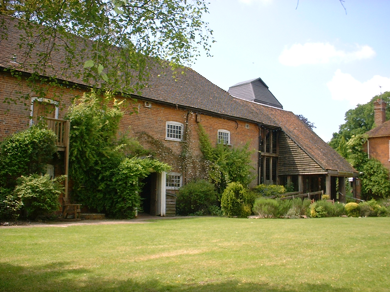


Why visit Kintbury
Townapedia lists 10 museums and landmarks, 11 parks and trails, 29 places to eat, 3 places to stay and 4 attractions in and around town.
Highlights include Watermill Theatre, Wire Lock, Combe Gibbet and Kintbury War Memorial.
Weather in Kintbury
Forecast from MET Norway (CC BY 4.0). Full forecast
About Kintbury
Kintbury is a village and civil parish in the West Berkshire district, Berkshire, England, between the towns of Newbury and Hungerford. The village has a convenient railway to Paddington and Reading, proximity to other transport and local cultural destinations, including Roman and Norman sites, and forms part of a very large Area of Outstanding Natural Beauty, the North Wessex Downs which extends from the River Thames at Streatley to West Wiltshire. The parish includes the hamlets of Clapton, Elcot and Winding Wood.
From the Wikipedia article Kintbury (this version), under CC BY-SA 4.0.
Things to do4

Watermill Theatre
Cinema and theater · 4.4 mi
Theatre in Bagnor near Newbury, Berkshire, England, UK

Wire Lock
Bridge · 1.5 mi
Lock on Kennet and Avon Canal in Kintbury, Berkshire, England, UK


Museums and landmarks10



Hungerford Memorial Gardens
Monument and historic site · 2.8 mi
In memory of The Hungerford massacre
Parks, trails and playgrounds11






Restaurants and cafes29

The Funghi Club
Restaurant · 3.1 mi
12,13 High Street, Hungerford
Tu-Th 10:00-16:00; Fr,Sa 10:00-21:00
Amore
Restaurant · Italian · 3.0 mi
16 Charnham Street, Hungerford
Mo-Th 12:00-15:00, 17:00-22:00; Fr-Sa 12:00-22:30; Su 12:00-21:00
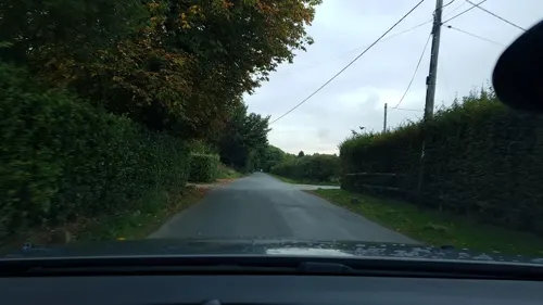
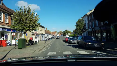
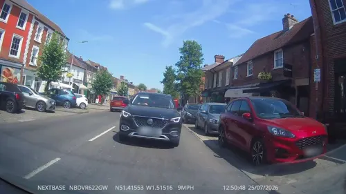
Mio Fiore
Restaurant · Italian · 3.1 mi
123 High Street, Hungerford
Mo-Th 12:00-22:00, Fr-Sa 12:00-23:00, Su 12:00-22:00
Coffee#1
Cafe · Coffee Shop · 3.1 mi
120a High Street, Hungerford
Mo-Fr 07:30-17:30; Sa 08:00-18:00; Su 09:00-17:00
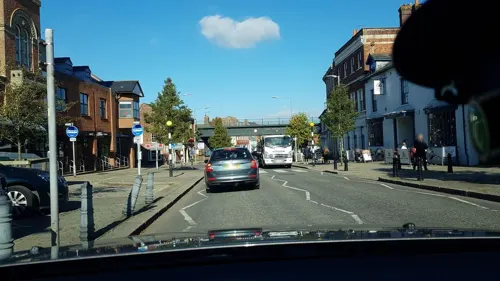
The Naked Grape
Brewery and winery · 3.1 mi
108 High Street, Hungerford
Tu,We 10:00-17:00; Th-Sa 10:00-18:00
17 more on the map.
Notable people from Kintbury
- George CherryEnglish cricketer (1821-1887)
Born in Kintbury, according to Wikidata (CC0). Each name links to its Wikipedia article.
Where to stay3
Churches and places of worship12
Church of Saint Mary
Church · Anglican · 2.2 mi
Park Lane, Hamstead Marshall, Newbury
Parish Church of Saint Michael & All Angels, Enborne
Church · Anglican · 3.3 mi
Enborne Road, Enborne, Newbury, Enborne
Hungerford Methodist Church
Church · Methodist · 3.1 mi
Bridge Street, Hungerford
Shopping17
Gas and EV charging2
Schools, colleges and libraries6
Healthcare2
Hungerford Community Health Clinic
Clinic and pharmacy · 3.3 mi
The Croft, Hungerford
Map of Kintbury
96 places. The map loads OpenStreetMap tiles when you open it.
Getting there and nearby towns
Upavon Airfield (UPV) is the nearest airport with scheduled flights listed in OpenStreetMap, 16 miles away.
- Wickham 3 mi north, about 5 min by car
- Newbury 5 mi east, about 9 min by car
- Winterbourne 5 mi northeast, about 9 min by car
- Great Bedwyn 7 mi west, about 11 min by car
- Ramsbury 7 mi northwest, about 12 min by car
- Thatcham 8 mi east, about 13 min by car
- Aldbourne 9 mi northwest, about 15 min by car
- Burbage 10 mi west, about 16 min by car
- Andover 13 mi south, about 21 min by car
- Wantage 13 mi north, about 21 min by car
Drive times are estimates from straight-line distance, not routes.
Towns near Kintbury


Keep exploring
Local news
Headlines from INDB.
Reviews, tips and questions
Loading what members have shared...
Sources and licences
- GeoNames (CC BY 4.0): population, coordinates, regions and time zone
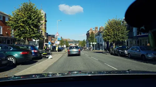
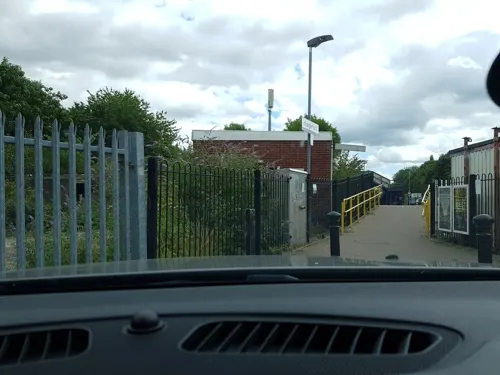
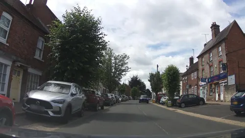
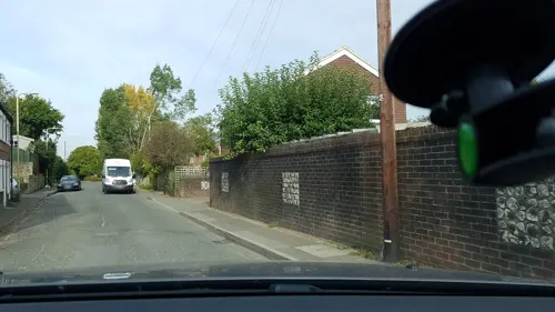
- Mapillary (see each image): photos
- OpenStreetMap contributors (ODbL 1.0): places, airports, map data
- Wikidata (CC0 1.0): elevation, founding date, time zone, website, landmarks and historic places
- Wikimedia Commons (see each image): photos
- Wikipedia (CC BY-SA 4.0): overview and history text
Photo credits
- Watermill Theatre, Bagnor, Sheps at English Wikipedia, Public domain
- Retreatelcotpark, JHSHistorian, CC BY-SA 4.0
- West Woodhay church, with the manor in the background, Matthew Prior, CC BY-SA 4.0
- Church of St John Stockcross, Mariegriffiths, CC BY-SA 4.0
- Congregational Church, Hungerford, Simon Burchell, CC BY-SA 4.0
- 13-18 High Street Hungerford, Deryck Chan, CC BY-SA 4.0
- Combe jibbet jan 7 2007 128, Simon Green eventful, Public domain
- Kintbury Newt Ponds (1), Dudley Miles, CC BY-SA 4.0
- Sole Common Pond-by-Des-Blenkinsopp, Des Blenkinsopp, CC BY-SA 2.0
- Wire Lock and Bridge 03, Simon Burchell, CC BY-SA 4.0
- Combe Gibbet and long barrow, Gallows Down 02, Simon Burchell, CC BY-SA 4.0
- Susan E. Hofgartner 20201025 120035, Dcs57, CC BY-SA 4.0
- WILLIAM AND MARY 20201025 111455, Dcs57, CC BY-SA 4.0
- Aerial view of Rack Marsh, Bagnor, Matthew Prior, CC BY-SA 4.0
- Street-level photo, themadcabbie, CC BY-SA 4.0
- Street-level photo, southglos, CC BY-SA 4.0
- Street-level photo, dcp, CC BY-SA 4.0
- Street-level photo, themadcabbie, CC BY-SA 4.0
- Street-level photo, RyanBush, CC BY-SA 4.0
- Street-level photo, southglos, CC BY-SA 4.0
- Street-level photo, themadcabbie, CC BY-SA 4.0
- Street-level photo, swinetown, CC BY-SA 4.0
- Street-level photo, RyanBush, CC BY-SA 4.0
- Street-level photo, themadcabbie, CC BY-SA 4.0
- Street-level photo, southglos, CC BY-SA 4.0
- Street-level photo, themadcabbie, CC BY-SA 4.0
- Street-level photo, southglos, CC BY-SA 4.0
- Street-level photo, swinetown, CC BY-SA 4.0
- Street-level photo, themadcabbie, CC BY-SA 4.0
- Street-level photo, themadcabbie, CC BY-SA 4.0
- Street-level photo, southglos, CC BY-SA 4.0
- Street-level photo, themadcabbie, CC BY-SA 4.0
- Street-level photo, themadcabbie, CC BY-SA 4.0
- Street-level photo, southglos, CC BY-SA 4.0
- Street-level photo, themadcabbie, CC BY-SA 4.0
- Street-level photo, themadcabbie, CC BY-SA 4.0
- Street-level photo, southglos, CC BY-SA 4.0
- Street-level photo, southglos, CC BY-SA 4.0
- Street-level photo, southglos, CC BY-SA 4.0
- Street-level photo, swinetown, CC BY-SA 4.0
Page built November 10, 2026. Spotted a mistake? Tell us or suggest a place.