
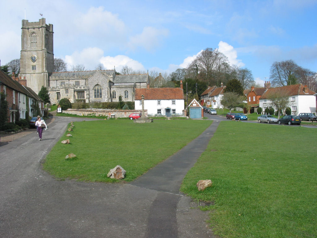

Aldbourne, United Kingdom
Aldbourne is a town of 1,652 people in England, United Kingdom.
Why visit Aldbourne
Townapedia lists 4 museums and landmarks, 1 park or trail, 5 places to eat and 1 attraction in and around town.
Highlights include Aldbourne Heritage Centre and Membury Camp.
Weather in Aldbourne
Forecast from MET Norway (CC BY 4.0). Full forecast
About Aldbourne
Aldbourne is a village and civil parish about 6 miles (10 km) north-east of Marlborough, Wiltshire, England. It is in a valley on the south slope of the Lambourn Downs – part of the North Wessex Downs Area of Outstanding Natural Beauty. From here an unnamed winterbourne flows south to join the River Kennet 4 miles (6 km) away near Ramsbury. The 2011 Census recorded the parish population as 1,833.
From the Wikipedia article Aldbourne (this version), under CC BY-SA 4.0.
Things to do1

Museums and landmarks4


Membury Camp
Monument and historic site · 2.3 mi
Hillfort in Wiltshire/Berkshire, England, UK
Parks, trails and playgrounds1

Restaurants and cafes5
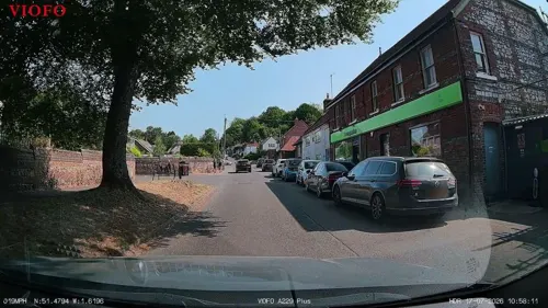
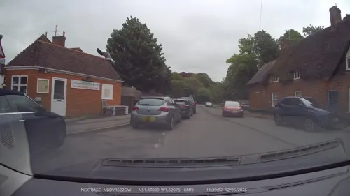
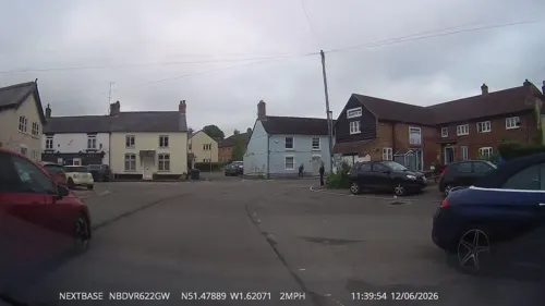


The Aldbourne Kitchen
Fast food · Chinese, Thai
6a The Square, Marlborough
Su 16:30-22:30, Sa 12:30-13:30,16:30-22:30, Mo,We-Fr 16:30-22:30,...
History
Evidence of prehistoric activity on the chalk downs includes a barrow cemetery north-west of the village, a Bronze Age cross dyke to the north, and a field system in the valley around Snap.
There are extensive prehistoric or Romano-British field systems around Upper Upham. The boundaries of the modern parish follow Roman roads to the north-east (Ermin Way) and to the west (an un-named road from Cirencester to Mildenhall). Domesday Book in 1086 recorded a large settlement at Aldeborne, with 156 households, four mills and a church. Lewisham Castle is a small medieval ringwork about a mile and a half south-west of the village. It is not certain whether it was in fact a castle.
The name Aldbourne derives from the Old English Ealdaingburna meaning 'stream connected with Ealda'. It could perhaps derive from the Old English Aldingburna meaning 'the old stream'.
Read more of the history
The Wiltshire Victoria County History traces the ownership of estates including Aldbourne manor, which was unusually large until it was broken up in the 17th century. Landowners include Rotrou IV, Count of Perche and descendants in the 12th century; William Longespée, 3rd Earl of Salisbury and descendants in the 13th and 14th; and trustees for the City of London for a short time in the 17th. An estate at Upham was given by Longespée to Lacock Abbey in 1249, and after the dissolution was bought in 1540 by John Goddard, whose descendants went on to be lords of the manor of Swindon.
Aldbourne was the wealthiest parish in Selkley hundred in the Middle Ages, and in 1377 the parish had 332 taxpayers. The population peaked around 1,600 in the mid-19th century, fell to 980 by the 1921 census, and has gradually risen since then.
In the English Civil War a Royalist force led by Prince Rupert fought a Parliamentarian force in a skirmish at Aldbourne Chase on 18 September 1643, two days before the First Battle of Newbury.
Fustian, a heavy cotton cloth, was woven in the village from at least the late 17th century. The industry was affected by a fire in 1760 and declined after the 1790s.
A Baptist chapel opened in 1841 in Back Lane and was rebuilt as New Zoar Chapel in 1868. It was sold in 1914 and demolished some time after 1931; its burial ground survives.
A Primitive Methodist chapel opened in West Street about 1840 and a new chapel was built on the site in 1906. Wesleyan Methodists built a chapel in Lottage Road in 1807, which was rebuilt in 1844. In 1968 the two congregations combined to build Aldbourne Methodist Church in Lottage Road. The chapel in West Street was demolished in 1982.
The Swindon, Marlborough and Andover Railway (later the Midland and South Western Junction Railway) opened between Swindon and Marlborough in 1881, alongside the Roman road in the west of the parish, just over the parish boundary. There was a station and small goods yard at Ogbourne. The line became part of the Great Western Railway in 1923 and closed in 1961, then dismantled.
During the Second World War, U.S. Army paratroopers of Easy Company, 2nd Battalion, 506th Parachute Infantry Regiment, 101st Airborne Division were based at Aldbourne from late 1943 to mid-1944, in preparation for the Normandy landings in June 1944 and Operation Market Garden in September. Both Easy Company and the village featured in the 2001 HBO miniseries Band of Brothers, though scenes for Aldbourne were filmed at the village of Hambleden, near the Oxfordshire town of Henley-on-Thames.
For at least 130 years Aldbourne had a bell foundry. Master-founders at Aldbourne included Robert Cor (active 1694–1724), William Cor (active 1696–1722), Oliver Cor (active 1725–1727), John Cor (active 1728–1750), John Stares (active 1744–1746), Edward Read (active 1751–57), Edne Witts (active 1759–1774), Robert I Wells (active 1760–81), Robert II Wells (active 1781–1793) and James Wells (active 1792–1826). Bells cast by the Cor and Wells families survive at parish churches including Alvescot, Ashbury, Berwick St John, Blewbury, Church Hanborough, East Challow, Drayton, East Lockinge, Faringdon, Farnborough, Great Coxwell, Horspath, Longworth, Marcham, Marsh Baldon, St Nicolas Newbury, Northleach, Uffington, Seend, Sutton Courtenay, West Hanney and others. The ten bells at St Nicolas in Newbury include the only surviving full set of eight bells cast by James Wells of Aldbourne (in 1803); the tenor bell weighing 21cwt (slightly heavier than a ton) is the heaviest bell cast at Aldbourne.
From the History section of Aldbourne on Wikipedia, under CC BY-SA 4.0.
Notable people from Aldbourne
 Thomas FairchildEnglish gardener (1667-1729)Photo: Unknown author Unknown author, Public domain
Born in Aldbourne, according to Wikidata (CC0). Each name links to its Wikipedia article.
Churches and places of worship2
Shopping1
Schools, colleges and libraries1
Map of Aldbourne
15 places. The map loads OpenStreetMap tiles when you open it.
Getting there and nearby towns
Upavon Airfield (UPV) is the nearest airport with scheduled flights listed in OpenStreetMap, 15 miles away.
- Ramsbury 3 mi south, about 4 min by car
- Great Bedwyn 7 mi south, about 11 min by car
- Swindon 9 mi northwest, about 14 min by car
- Burbage 9 mi south, about 15 min by car
- Wantage 11 mi northeast, about 18 min by car
- Broad Blunsdon 11 mi northwest, about 18 min by car
- Lydiard Millicent 12 mi northwest, about 20 min by car
- Royal Wootton Bassett 13 mi west, about 21 min by car
- Newbury 14 mi southeast, about 22 min by car
- Thatcham 16 mi east, about 26 min by car
Drive times are estimates from straight-line distance, not routes.
Towns near Aldbourne


Keep exploring
Local news
Headlines from INDB.
Reviews, tips and questions
Loading what members have shared...
Sources and licences
- GeoNames (CC BY 4.0): population, coordinates, regions and time zone
- Mapillary (see each image): photos
- OpenStreetMap contributors (ODbL 1.0): places, airports, map data
- Wikidata (CC0 1.0): elevation, founding date, time zone, website, landmarks and historic places
- Wikimedia Commons (see each image): photos
- Wikipedia (CC BY-SA 4.0): overview and history text
Photo credits
- Albourne1, Adina Levy, CC BY-SA 2.5
- Aldbourne Heritage Centre, John Dymond, CC BY-SA 3.0
- Street-level photo, RyanBush, CC BY-SA 4.0
- Street-level photo, RyanBush, CC BY-SA 4.0
- Street-level photo, swinetown, CC BY-SA 4.0
- Street-level photo, RyanBush, CC BY-SA 4.0
- Street-level photo, swinetown, CC BY-SA 4.0
Page built November 10, 2026. Spotted a mistake? Tell us or suggest a place.