


Why visit Lambourn
Townapedia lists 9 museums and landmarks, 7 parks and trails, 16 places to eat, 5 places to stay and 9 attractions in and around town.
Highlights include Ashdown House, Roman villa of Littlecote, Seven Barrows and Watts Bank.
Weather in Lambourn
Forecast from MET Norway (CC BY 4.0). Full forecast
About Lambourn
Lambourn () is a village and civil parish in West Berkshire, England. It lies just north of the M4 motorway between Swindon and Newbury, and borders Wiltshire to the west and Oxfordshire to the north. After Newmarket it is the largest centre of racehorse training in England, and is home to a rehabilitation centre for injured jockeys, an equine hospital, and several leading jockeys and trainers. To the north of the village are the prehistoric Seven Barrows and the nearby long barrow.
From the Wikipedia article Lambourn (this version), under CC BY-SA 4.0.
Things to do9

Museums and landmarks9

Ashdown House
Museum · 3.4 mi
17th-century country house in Oxfordshire, England, UK
Apr-Oct: We,Sa 14:00-17:00

Roman villa of Littlecote
Monument and historic site · 5.4 mi
Roman rural estate at Littlecote, in Ramsbury, Wiltshire, England, UK
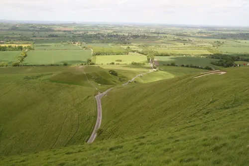
Uffington Castle
Monument and historic site · 4.9 mi
Hillfort in Oxfordshire, England, UK

Uffington White Horse
Monument and historic site · 5.1 mi
Prehistoric carving in Uffington, England

Wayland's Smithy
Monument and historic site · 4.9 mi
Neolithic long barrow and chamber tomb site in Oxfordshire, England, UK

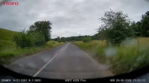

Membury Camp
Monument and historic site · 2.7 mi
Hillfort in Wiltshire/Berkshire, England, UK
Parks, trails and playgrounds7



Restaurants and cafes16
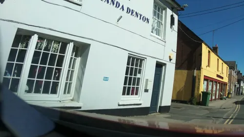
Goodies Café, Lambourn
Cafe
17 High Street, Lambourn
Mo-Fr 07:30-16:00; Sa 09:00-16:00; Su 10:00-14:00
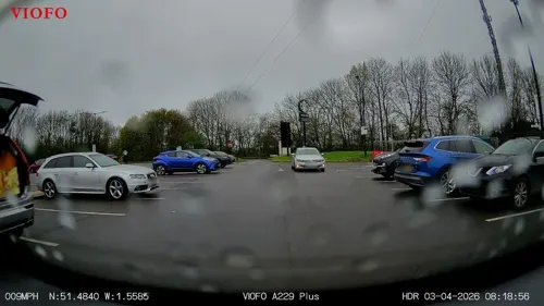
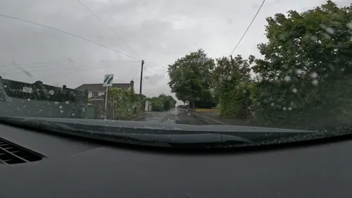
Fancy B.
Restaurant · Burger, Brunch, Turkish, Dinner, Cocktails, Real Ales, Beer, Spirits, Wine, Kebab · 2.9 mi
Ermin Street, Baydon
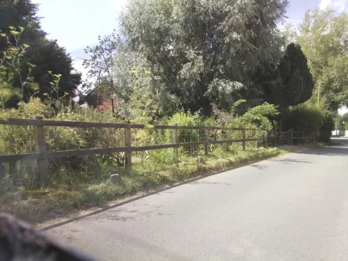
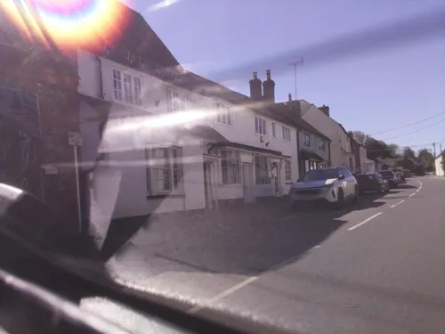
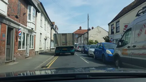


4 more on the map.
History
The most common explanation for the name of Lambourn refers to the lambs that were once dipped in the local river. Many spellings have been used over the centuries, such as Lamburnan (880), Lamburna (1086), Lamborne (1644) and Lambourne. It was also called Chipping Lambourn because of its popular market. The spelling was fixed as 'Lambourn' in the early 20th century, but even today, towards Soley, three successive signposts at nearby junctions alternate the spelling of Lambourn and Lambourne. The village of Bockhampton was also known as Lower Lambourn.
Read more of the history
The name Lambourn is an ancient name originating from the Brythonic language, which predates the arrival of the Saxon and Norman cultures in Britain. The etymology of the elements “Llan”, meaning enclosure, and “Bryn”, being hill, and together referring to the prominent Neolithic earthwork now known as Uffington Castle. This ancient hilltop enclosure, situated near the iconic Uffington White Horse and directly across from Dragon Hill, was historically referred to as Llan Bryn, denoting the enclosure atop the hill. The name became anglicized to several phonetic versions, ultimately settling on Lambourn, which has since become the defining toponym for the surrounding region. Numerous local features bear the name, including the Lambourn River, Lambourn Barrows, Lambourn Woodlands, Lambourn Downs, and the settlements of Lambourn and Upper Lambourn.
In 2004 a metal detecting rally found a hoard of three gold bracelets and two armlets at Crow Down near Lambourn. They have been dated to 1200 BCE and are the only prehistoric gold objects to have been found in Berkshire. The hoard was declared a treasure under English Law in 2005 and is on display at the West Berkshire Museum in Newbury. In Roman times, the area was extensively farmed, as shown by an archaeological research project based on Maddle Farm. Ermin Way, the major Roman road between Calleva Atrebatum (Silchester) and Glevum (Gloucester), also known as the "Upper or Baydon Road", passes through Lambourn Woodlands as part of the B4000.
Lambourn is famous for its Seven Barrows, just above Upper Lambourn. There are more than thirty Bronze Age burial mounds forming a large prehistoric cemetery. On a line west of the Seven Barrows is the Long Barrow, which dates from c. 4000 BCE, making it 2,000 years older than the other barrows. It has been half-destroyed by deep ploughing, and only the mound in the woods and a few sarsen stones remain.
...the Downs themselves shelter Lambourn's massive Norman nave.
The large, mainly Norman, Church of England parish church is in the village centre facing the historic market place, with a surrounding wall built of sarsen stones, and is dedicated to St Michael and All Angels. The road pattern shows an original circular enclosure, suggesting pagan Celtic origins. Alfred the Great, born in Wantage, was also closely connected with this ancient landmark. It has been a minster since Saxon times and officially known as Lambourn Minster since as early as 1032, and Alfred mentioned it in his will. It was probably Cnut who granted Lambourn Minster to the Dean of St Paul's.
Successors to that office held it until 1836. Inside are monuments to the great and the good of the many manors in the parish, including an excellent brass to John Estbury (1508), who founded the almshouses outside, and fine effigies of Sir Thomas Essex and his wife (1558). The almshouses were established by an Act of Parliament in the reign of King Henry VII and confirmed by his son King Henry VIII after the Dissolution of the Monasteries made the original uncertain, as it included a now forbidden chantry. There is an arch with mediaeval carvings of hunting scenes. The church was much restored in the late 19th century, and has a chancel roof designed by G. E. Street. The church also boasts a fine three-manual Henry Willis organ. The clock faces were replaced, and the tower stonework repaired, in 2011. The church is a Grade I listed building.
The Empress Matilda bequeathed Lambourn and Chippenham to Hugh de Plucket out of the Royal demesne in 1142 for his aid in The Anarchy of the civil wars against the usurper Stephen of Blois. However, another Breton adventurer, Josce de Dinan and his knights, retreated to Lambourn after he lost Ludlow Castle to Gilbert de Lacey. Maltida's son King Henry II gave him Chipping Lambourn in compensation in 1156. Josce died in 1162 AD and in either case, the Plunket family were in possession of the Manor by the beginning of the 14th century.
The Ditchley portrait of Queen Elizabeth I was painted for Sir Henry Lee of Ditchley to commemorate her visit in 1592. The Queen stands on a map of England with her feet on Oxfordshire and Lambourn is shown (but not named) on the map below her feet, in the downs of Berceria at the head of the River Lambourn which joins the River Kennet at Newbury.
During the Civil War, Prince Rupert and his Cavaliers rested at Lambourn on the night of 18 and 19 September 1643, between fighting a skirmish with the Parliamentarian Army at Aldbourne Chase on the 18th and the First Battle of Newbury on the 20th. Queen Henrietta Maria stayed at Kingswood House on 18 April 1644 en route to Exeter, having said her final farewell to her husband King Charles I a few days before at Oxford. Kingswood was an Elizabethan manor house that was demolished a long time ago and replaced by the current Kingswood House Stables.
From the History section of Lambourn on Wikipedia, under CC BY-SA 4.0.
More about Lambourn
Geography
Lambourn covers most of the upper valley of the River Lambourn, a bourne in the chalk upland area of the Berkshire Downs. It is 13 miles (21 km) northwest of Newbury, 11 miles (18 km) southeast of Swindon, 7 miles (11 km) southwest of Wantage, 7 miles (11 km) north of Hungerford and 71 miles (114 km) west of London (via B4000 and M4). Since the 1974 boundary changes, Lambourn has been the westernmost parish in Berkshire, bordering northeastern Wiltshire and southwestern Oxfordshire. Membury Services, on the site of RAF Membury, Membury transmitting station and the northeastern quarter of Membury Iron Age hillfort are in the southwest corner of the parish.
The parish shares boundaries with the Berkshire parishes of East Garston and Hungerford, with the Wiltshire parishes of Chilton Foliat, Ramsbury and Baydon, and with the Oxfordshire parishes of Ashbury, Compton Beauchamp, Woolstone, Uffington, Kingston Lisle, Sparsholt, Childrey and Letcombe Bassett.
Economy
Lambourn and the surrounding downland is best known today as a major horse racing centre, mainly National Hunt. Many villagers' work is related to horse racing, but there are an increasing number of commuters who use the M4, including many airline pilots based at Heathrow. The United Kingdom's last makers of dress and day cravats were based in Lambourn until they closed in 2006. Lambourn Racehorse Transport was founded in the village in 1930 and transports many of the local horses, especially since the closure of the Lambourn Valley Railway in 1964. It is owned by Merrick Francis, the son of Dick Francis, and is the largest horse transport business in Europe. Sheepdrove Organic Farm is based near Lambourn.
Lambourn is a unique town as almost everyone is involved in horse racing – from top trainers such as Mick Channon, Charlie Mann and Henrietta Knight through to the saddlers and stable lads and lasses.
From the Wikipedia article Lambourn, under CC BY-SA 4.0.
Notable people from Lambourn
- Ted LoweSnooker commentator (1920-2011)
- Frederick BatesEnglish cricketer (1899-1969)
- Ray Howard-JonesEnglish painter (1903–1996)
Born in Lambourn, according to Wikidata (CC0). Each name links to its Wikipedia article.
Where to stay5
Churches and places of worship10
Shopping1
Gas and EV charging3
Schools, colleges and libraries3
Baydon St Nicholas Church of England Primary School
School · Anglican · 2.8 mi
Ermin Street, Marlborough
Healthcare1
Map of Lambourn
64 places. The map loads OpenStreetMap tiles when you open it.
Getting there and nearby towns
RAF Fairford (FFD) is the nearest airport with scheduled flights listed in OpenStreetMap, 17 miles away.
- Aldbourne 4 mi southwest, about 7 min by car
- Ramsbury 5 mi southwest, about 9 min by car
- Wickham 6 mi southeast, about 10 min by car
- Wantage 7 mi northeast, about 12 min by car
- Wanborough 8 mi west, about 12 min by car
- Kintbury 8 mi southeast, about 13 min by car
- Chiseldon 9 mi west, about 14 min by car
- Winterbourne 9 mi southeast, about 15 min by car
- Swindon 11 mi west, about 18 min by car
- Newbury 12 mi southeast, about 19 min by car
Drive times are estimates from straight-line distance, not routes.
Towns near Lambourn


Keep exploring
Local news
Headlines from INDB.
Reviews, tips and questions
Loading what members have shared...
Sources and licences
- GeoNames (CC BY 4.0): population, coordinates, regions and time zone
- Mapillary (see each image): photos
- OpenStreetMap contributors (ODbL 1.0): places, airports, map data
- Wikidata (CC0 1.0): elevation, founding date, time zone, website, landmarks and historic places
- Wikimedia Commons (see each image): photos
- Wikipedia (CC BY-SA 4.0): overview and history text
Photo credits
- Littlecote plan, Udimu, CC BY-SA 3.0
- Wayland Smithy Long barrow, Msemmett, CC BY-SA 3.0
- Seven Barrows 1, Ballista at English Wikipedia, CC BY-SA 3.0
- Alfred's Castle, Oxfordshire, aerial view from North, Garyrobertlock, CC BY-SA 4.0
- Letcombe Valley 2, Dudley Miles, CC BY-SA 4.0
- Watts Bank (3), Dudley Miles, CC BY-SA 4.0
- Ashdown House, David McManamon, CC BY-SA 2.0
- Uffington-White-Horse-sat, USGS, Public domain
- Street-level photo, southglos, CC BY-SA 4.0
- Street-level photo, RyanBush, CC BY-SA 4.0
- Street-level photo, RyanBush, CC BY-SA 4.0
- Street-level photo, popple, CC BY-SA 4.0
- Street-level photo, RyanBush, CC BY-SA 4.0
- Street-level photo, RyanBush, CC BY-SA 4.0
- Street-level photo, RyanBush, CC BY-SA 4.0
- Street-level photo, RyanBush, CC BY-SA 4.0
- Street-level photo, iced, CC BY-SA 4.0
- Street-level photo, southglos, CC BY-SA 4.0
- Street-level photo, southglos, CC BY-SA 4.0
- Street-level photo, southglos, CC BY-SA 4.0
- Street-level photo, themadcabbie, CC BY-SA 4.0
- Street-level photo, southglos, CC BY-SA 4.0
- Street-level photo, southglos, CC BY-SA 4.0
- Street-level photo, themadcabbie, CC BY-SA 4.0
- Street-level photo, southglos, CC BY-SA 4.0
- Street-level photo, themadcabbie, CC BY-SA 4.0
- Street-level photo, RyanBush, CC BY-SA 4.0
Page built November 10, 2026. Spotted a mistake? Tell us or suggest a place.