


Why visit Lampeter
Townapedia lists 4 museums and landmarks, 4 parks and trails, 27 places to eat and 3 places to stay in and around town.
Highlights include Harford Fountain.
Weather in Lampeter
Forecast from MET Norway (CC BY 4.0). Full forecast
About Lampeter
Lampeter (; Welsh: Llanbedr Pont Steffan (formal); Llambed (colloquial)) is a town and community in Ceredigion, Wales, at the confluence of the Afon Dulas with the River Teifi. It is the third largest urban area in Ceredigion, after Aberystwyth and Cardigan, and had a campus of the University of Wales Trinity Saint David. At the 2011 Census, the population was 2,970. Lampeter was also a university town.
From the Wikipedia article Lampeter (this version), under CC BY-SA 4.0.
Travel tips from other travellers: Lampeter on Wikivoyage (CC BY-SA 4.0).
Photos of Lampeter


Museums and landmarks4
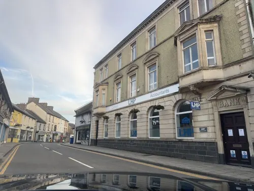
Harford Fountain
Monument and historic site
Grade II listed building in Ceredigion
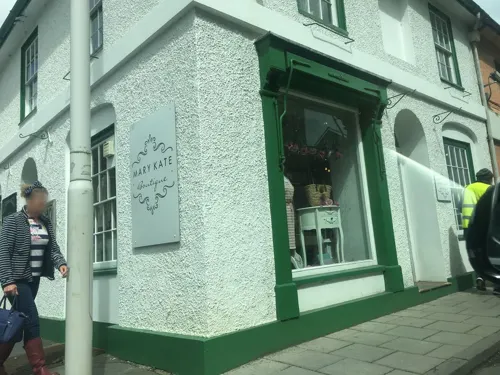


Parks, trails and playgrounds4


Restaurants and cafes27
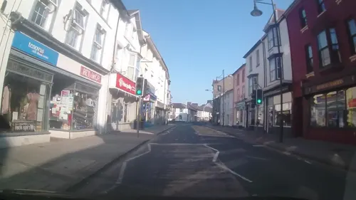
The Castle Hotel
Bar and pub
8 High Street, Lampeter
Mo-Sa 11:00-23:00; Su 12:00-22:30
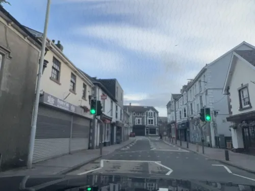
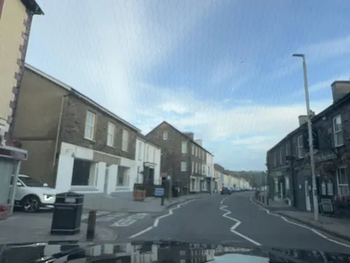
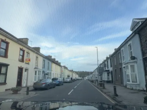




15 more on the map.
Where to stay3

History
The Norman timber castle of Pont Steffan ("Stephen's bridge" in English) occupying a strategic position beside the River Teifi was destroyed in 1187 after it had been conquered by Owain Gwynedd and was not rebuilt.
Cardiganshire was one of the royal counties established by Edward I after the defeat of Llywelyn ap Gruffudd (Llywelyn Ein Llyw Olaf) at Cilmeri in 1282, when Lampeter fell under direct royal control. But this had little effect on the town, and the Welsh language and culture continued to thrive. The first market charter was granted in 1284 to Rhys ap Meredydd who was given the right to hold a weekly market. As many as eight fairs were also held each year under successive charters.
The town was ruled by a local aristocracy who lived in elegant mansions, including Brynhywel, Maesyfelin and the Lloyd baronets of Peterwell. As magistrates, they handed out the severest of penalties to offenders. The fairs and markets had become rowdy occasions with violence and drunkenness, and the stocks and whipping post in front of Lampeter Town Hall were frequently put to use in the 18th century.
Read more of the history
The town developed the crafts, services and industries to cater to the needs of the rural area. There were several woollen mills, one of which in the mid-18th century was already producing the complex double-woven tapestry cloth later to become associated with the Welsh woollen industry. There were also blacksmiths, a leather tannery, carpenters, saddlers, bootmakers and hatters. The town was one of the main centres on the Welsh drovers' road which carried cattle and sheep on foot to the markets in England. A large number of inns point to the town's importance as a rural centre.
Lampeter's war memorial, sculpted by Sir William Goscombe John (1860–1952), was unveiled in September 1921.
From the History section of Lampeter on Wikipedia, under CC BY-SA 4.0.
More about Lampeter
Arts and culture
Lampeter's local Eisteddfod, Eisteddfod Rhys Thomas James Pantyfedwen, is held annually over the August bank holiday. It is particularly noteworthy for its competition for singers under the age of 30, colloquially known as Llais Llwyfan Llambed ('the voice of Lampeter's stage').
Lampeter Museum covers the cultural and agricultural development of the town as well as the history of the college.
Theatr Felinfach, a small regional theatre located outside the village of Ystrad Aeron in Dyffryn Aeron, about 7 miles from Lampeter.
During the Second World War, Dylan Thomas and his wife Caitlin lived at Plas Gelli, a secluded mansion just outside Talsarn. The Dylan Thomas Trail links Talsarn and Lampeter with the other places in Ceredigion associated with the poet, such as Aberaeron and New Quay.
In 1968, William Julian Cayo-Evans first marched his paramilitary nationalist 'Free Wales Army' from Lampeter.
The Church of Our Lady of Mount Carmel, a Roman Catholic Church, is Grade II listed and is considered a fine example of mid-20th century church architecture.
From the Wikipedia article Lampeter, under CC BY-SA 4.0.
Notable people from Lampeter
 Gwion EdwardsWelsh footballer (born 1993)Photo: Ncadc2004, CC BY-SA 4.0
 John ThomasWelsh photographer (1838-1905)Photo: Thomas, John,, Public domain
 John JamesWelsh fingerstyle guitarist and songwriterPhoto: Tony 1212, CC BY-SA 4.0
- Elin JonesWelsh politician, Llywydd of the Senedd (born 1966)
- Royston EvansFootballer (born 1939)
- Idwal JonesBritish poet (1895–1937)
- Bethan PhillipsWelsh author and scriptwriter
- David ThomasWelsh clergyman and missionary, born 1829
- Daniel TudorBritish judge (1866-1928)
- Watcyn Samuel JonesWelsh agricultural administrator and principal of a theological college
Born in Lampeter, according to Wikidata (CC0). Each name links to its Wikipedia article.
Churches and places of worship17
Roman Catholic Church of Our Lady of Mount Carmel and attached Presbytery
Church
Shopping6
Gas and EV charging2
Schools, colleges and libraries5
Healthcare2
Map of Lampeter
70 places. The map loads OpenStreetMap tiles when you open it.
Getting there and nearby towns
Swansea Airport (SWS) is the nearest airport with scheduled flights listed in OpenStreetMap, 35 miles away.
- Tregaron 10 mi northeast, about 16 min by car
- Llandysul 11 mi southwest, about 18 min by car
- Llangeler 14 mi southwest, about 22 min by car
- Llandovery 15 mi southeast, about 23 min by car
- Llandeilo 16 mi south, about 26 min by car
- Newcastle Emlyn 17 mi west, about 28 min by car
- Llanilar 17 mi north, about 27 min by car
- Carmarthen 20 mi southwest, about 32 min by car
- Aberystwyth 21 mi north, about 34 min by car
- Ammanford 22 mi south, about 36 min by car
Drive times are estimates from straight-line distance, not routes.
Towns near Lampeter


Keep exploring
Local news
Headlines from INDB.
Reviews, tips and questions
Loading what members have shared...
Sources and licences
- GeoNames (CC BY 4.0): population, coordinates, regions and time zone
- Mapillary (see each image): photos
- OpenStreetMap contributors (ODbL 1.0): places, airports, map data
- Wikidata (CC0 1.0): elevation, founding date, time zone, website, landmarks and historic places
- Wikimedia Commons (see each image): photos
- Wikipedia (CC BY-SA 4.0): overview and history text
Photo credits
- Lampeter-High Street, Damian.dec at Polish Wikipedia, Public domain
- Preparations in Lampeter for the National Eisteddfod in 1984 (1535647), Geoff Charles, CC BY-SA 4.0
- Lanbedr Pont Steffan - Lampeter 05, Llywelyn2000, CC BY-SA 3.0
- Lanbedr Pont Steffan - Lampeter 07, Llywelyn2000, CC BY-SA 3.0
- Lanbedr Pont Steffan - Lampeter 11, Llywelyn2000, CC BY-SA 3.0
- Lanbedr Pont Steffan - Lampeter 08, Llywelyn2000, CC BY-SA 3.0
- Lanbedr Pont Steffan - Lampeter 09, Llywelyn2000, CC BY-SA 3.0
- Lanbedr Pont Steffan - Lampeter 06, Llywelyn2000, CC BY-SA 3.0
- Lanbedr Pont Steffan - Lampeter 04, Llywelyn2000, CC BY-SA 3.0
- Lanbedr Pont Steffan - Lampeter 10, Llywelyn2000, CC BY-SA 3.0
- New developments at Lampeter - bowls pavilion, S D U C new library, Mart (1525307), Geoff Charles, CC BY-SA 4.0
- Uwlsdb, User:Twrist on en.wikipedia, Public domain
- Capel Soar, WelshDave, CC BY-SA 4.0
- New developments at Lampeter - bowls pavilion, S D U C new library, Mart (1525294), Geoff Charles, CC BY-SA 4.0
- Street-level photo, trigpoint, CC BY-SA 4.0
- Street-level photo, gness, CC BY-SA 4.0
- Street-level photo, trigpoint, CC BY-SA 4.0
- Street-level photo, laye, CC BY-SA 4.0
- Street-level photo, laye, CC BY-SA 4.0
- Street-level photo, laye, CC BY-SA 4.0
- Street-level photo, laye, CC BY-SA 4.0
- Street-level photo, laye, CC BY-SA 4.0
- Street-level photo, laye, CC BY-SA 4.0
- Street-level photo, trigpoint, CC BY-SA 4.0
- Street-level photo, trigpoint, CC BY-SA 4.0
- Street-level photo, trigpoint, CC BY-SA 4.0
- Street-level photo, laye, CC BY-SA 4.0
- Street-level photo, gness, CC BY-SA 4.0
- Street-level photo, gness, CC BY-SA 4.0


Page built November 10, 2026. Spotted a mistake? Tell us or suggest a place.