


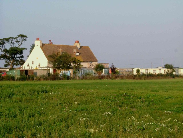


Leysdown-on-Sea, United Kingdom
Leysdown-on-Sea is a town of 3,019 people in England, United Kingdom.
Why visit Leysdown-on-Sea
Townapedia lists 3 museums and landmarks, 5 parks and trails, 30 places to eat and 17 places to stay in and around town.
Highlights include Aviators Memorial and Muswell Manor.
Weather in Leysdown-on-Sea
Forecast from MET Norway (CC BY 4.0). Full forecast
About Leysdown-on-Sea
Leysdown-on-Sea is a village on the east coast of the Isle of Sheppey, in the borough of Swale in Kent, England. In 2020 it had an estimated population of 936. The civil parish is Leysdown and includes the settlements of Bay View, Shellness and Harty. In 2011 it had a population of 1,256.
From the Wikipedia article Leysdown-on-Sea (this version), under CC BY-SA 4.0.
Museums and landmarks3

Aviators Memorial
Monument and historic site · 2.8 mi
Memorial in Eastchurch, Swale, Kent, England, UK


Parks, trails and playgrounds5


Restaurants and cafes30

Boyce's Bakery
Bakery
20-22 Leysdown Road, Leysdown-on-Sea
Mo-Fr 07:00-16:00; Sa 07:00-16:30; Su 06:45-16:00
The Bay View
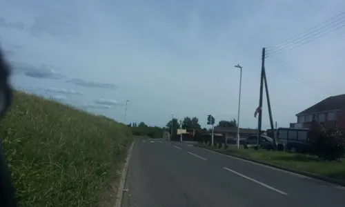
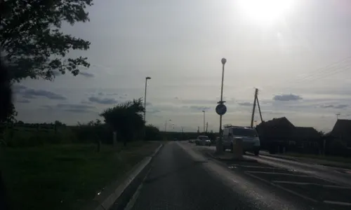
Bar and pub · 0.9 mi
287 Leysdown Road, Bay View
Mo-Tu off; We-Th 12:00-23:00; Fr-Sa 12:00-24:00; Su 12:00-21:00
Saffron
Restaurant · Indian
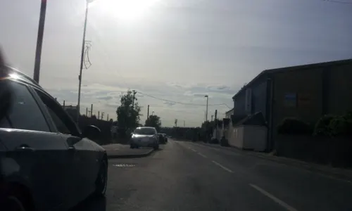
66 Leysdown Road, Leysdown-on-Sea
Mo-Tu, Th-Su 16:30-22:00; We 16:00-22:00
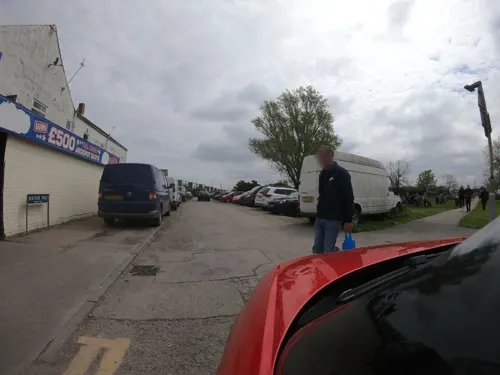
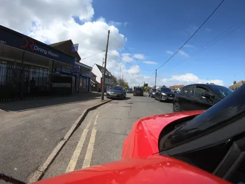
Dining Room
Restaurant · Indian
38 Leysdown Road, Leysdown-on-Sea
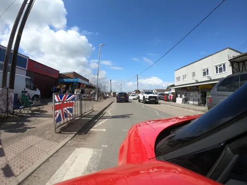
K K Chinese
Restaurant · Chinese
16 Leysdown Road, Leysdown-on-Sea
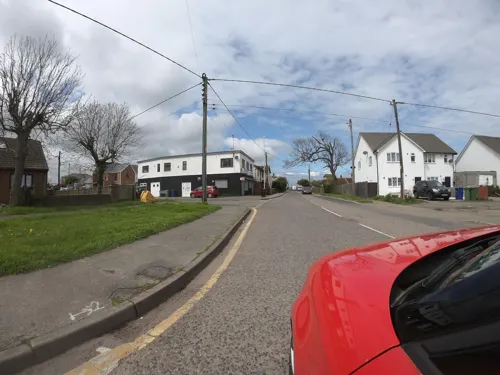

Glory
Restaurant · Chinese · 0.8 mi
Jetty Road, Warden
Mo-Sa 17:00-21:30; Su off
18 more on the map.
Where to stay17

Little Groves Leisure Park
Campground · 0.4 mi
Leysdown Road, Leysdown-on-Sea
5 more on the map.
History
It is recorded in the Domesday Book of 1086 as being called "Legesdun"; the name is thought to be derived from the Anglo-Saxon words Leswe (pasture) and Dun (hill).
A very small hamlet up to late Victorian times, it was developed a little after the arrival of the Sheppey Light Railway in 1903, though grand plans for the establishment of a large resort with hotels never materialised. The railway was closed in the 1950s.
On 2 May 1909, John Moore-Brabazon became the first resident British citizen to make a recognised powered heavier-than-air flight in the UK flying from the Aero Club's ground at Leysdown in his Voisin biplane Bird of Passage.
In 1961 the civil parish of "Leysdown on Sea" had a population of 565. On 1 March 1949 the parish was renamed from "Leysdown" to "Leysdown on Sea", on 1 April 1968 the parish was abolished to form Queenborough in Sheppey. On 1 April 1983 a parish called "Leysdown" was formed.
From the History section of Leysdown-on-Sea on Wikipedia, under CC BY-SA 4.0.
More about Leysdown-on-Sea
Geography
Leysdown is located a mile to the SSE of Warden and three miles to the ESE of Eastchurch. To the SSE lies the hamlet of Shellness and to the southwest is an area of marshland known as the Leysdown marshes. The island is located partly in The Swale and partly in the North Sea with a shingle beach and mudflats extending out to sea. It is recommended in the 2009 Good Beach Guide.
Economy
There are several large farms surrounding the village, with a mixture of pasture and arable land, but the local economy is primarily driven by tourism in the summer months, with many visitors coming from London. Leysdown has one of the largest concentrations of holiday parks in Kent, with many caravan and chalet parks. During the winter months the shops, clubs and pubs stay open, with the population of Leysdown, Warden and Bay View providing custom. In the past few years a boot fair has become a regular fixture on Sundays and there is also a market on Saturdays.
Briefly, in the early 20th century a significant part of the economy came from the embryonic aviation industry, with the UK's first aircraft factory built in Leysdown in 1909 by the Short Brothers. By the following year, however, operations had moved to nearby Eastchurch.
Education
The nearest primary school is St Clements Primary School situated on Leysdown Road, Warden, while the nearest secondary school is Oasis Academy Isle of Sheppey (formerly the Oasis Academy).
From the Wikipedia article Leysdown-on-Sea, under CC BY-SA 4.0.
Churches and places of worship2
Shopping2
Schools, colleges and libraries1
Healthcare1
Map of Leysdown-on-Sea
61 places. The map loads OpenStreetMap tiles when you open it.
Getting there and nearby towns
London Southend Airport (SEN) is the nearest airport with scheduled flights listed in OpenStreetMap, 16 miles away.
- Eastchurch 3 mi west, about 5 min by car
- Whitstable 5 mi southeast, about 8 min by car
- Faversham 6 mi south, about 9 min by car
- Sheerness 7 mi northwest, about 12 min by car
- Teynham 7 mi southwest, about 11 min by car
- Queenborough 8 mi west, about 12 min by car
- Blean 8 mi southeast, about 13 min by car
- Sittingbourne 9 mi southwest, about 15 min by car
- Herne Bay 9 mi east, about 15 min by car
- Canterbury 11 mi southeast, about 17 min by car
Drive times are estimates from straight-line distance, not routes.
Towns near Leysdown-on-Sea


Keep exploring
Local news
Headlines from INDB.
Reviews, tips and questions
Loading what members have shared...
Sources and licences
- GeoNames (CC BY 4.0): population, coordinates, regions and time zone
- Mapillary (see each image): photos
- OpenStreetMap contributors (ODbL 1.0): places, airports, map data
- Wikidata (CC0 1.0): elevation, founding date, time zone, website, landmarks and historic places
- Wikimedia Commons (see each image): photos
- Wikipedia (CC BY-SA 4.0): overview and history text
Photo credits
- Leysdown Sea Wall 9162, Clem Rutter, Rochester, Kent., CC BY 2.5
- Eastchurch Sheppey 9225, Clem Rutter, Rochester, Kent., CC BY 2.5
- Muswell-Manor, Glyn Baker, CC BY-SA 2.0
- Boyce’s Bakery, Gillingham (High Street) - 9th July, 2025, OathOn, CC0
- Leysdown Sheppey Centre 9213, Clem Rutter, Rochester, Kent., CC BY 2.5
- Leysdown Sheppey Centre 9212, Clem Rutter, Rochester, Kent., CC BY 2.5
- Street-level photo, paulbiv, CC BY-SA 4.0
- Street-level photo, paulbiv, CC BY-SA 4.0
- Street-level photo, paulbiv, CC BY-SA 4.0
- Street-level photo, paulbiv, CC BY-SA 4.0
- Street-level photo, RCCL, CC BY-SA 4.0
- Street-level photo, RCCL, CC BY-SA 4.0
- Street-level photo, paulbiv, CC BY-SA 4.0
- Street-level photo, RCCL, CC BY-SA 4.0
- Street-level photo, RCCL, CC BY-SA 4.0
- Street-level photo, RCCL, CC BY-SA 4.0
- Street-level photo, RCCL, CC BY-SA 4.0
- Street-level photo, RCCL, CC BY-SA 4.0
- Street-level photo, paulbiv, CC BY-SA 4.0
- Street-level photo, paulbiv, CC BY-SA 4.0
- Street-level photo, RCCL, CC BY-SA 4.0
- Street-level photo, paulbiv, CC BY-SA 4.0
- Street-level photo, RCCL, CC BY-SA 4.0
- Street-level photo, paulbiv, CC BY-SA 4.0
- Street-level photo, paulbiv, CC BY-SA 4.0
- Street-level photo, paulbiv, CC BY-SA 4.0
- Street-level photo, paulbiv, CC BY-SA 4.0
- Street-level photo, paulbiv, CC BY-SA 4.0
- Street-level photo, paulbiv, CC BY-SA 4.0
- Street-level photo, paulbiv, CC BY-SA 4.0
Page built November 10, 2026. Spotted a mistake? Tell us or suggest a place.