


Little Eaton, United Kingdom
Little Eaton is a town of 2,060 people in England, United Kingdom.
Why visit Little Eaton
Townapedia lists 16 museums and landmarks, 12 parks and trails, 17 places to eat, 29 places to stay and 7 attractions in and around town.
Highlights include Assembly Rooms, Cathedral Green Footbridge, Allestree Hall and Derby Museum and Art Gallery.
Weather in Little Eaton
Forecast from MET Norway (CC BY 4.0). Full forecast
About Little Eaton
Little Eaton is a village and civil parish in the borough of Erewash, Derbyshire, England. The population as taken at the 2011 Census was 2,430. The name originated from Anglo Saxon times and means the "little town by the water".
From the Wikipedia article Little Eaton (this version), under CC BY-SA 4.0.
Photos of Little Eaton


Things to do7

Assembly Rooms
Cinema and theater · 3.3 mi
Theatre and multi-purpose venue in Derby, England
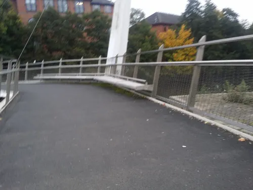


Guildhall Theatre
Cinema and theater · 3.4 mi
Theatre in Derby, Derbyshire, England, UK


Museums and landmarks16


Derby Museum and Art Gallery
Museum · 3.4 mi
Museum and art gallery in Derby, England, United Kingdom

Derby Racecourse Roman settlement
Monument and historic site · 2.5 mi
Archaeological site in United Kingdom

Derby War Memorial
Monument and historic site · 3.3 mi
War memorial in Derby, Derbyshire, England, UK

Duffield Castle
Monument and historic site · 2.0 mi
Norman castle in Duffield, Derbyshire, England
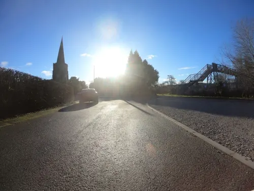
Duffield War Memorial
Monument and historic site · 1.2 mi
War memorial in Duffield, Derbyshire, England, UK

Kedleston Hall
Museum · 3.3 mi
English country house in Kedleston, Derbyshire, England, UK


Pickford's House
Museum · 3.4 mi
Historic house museum in Derby, United Kingdom



Derventio
Monument and historic site · 2.6 mi
Small town in Roman Britannia
4 more on the map.
Parks, trails and playgrounds12


Breadsall Priory Golf Course - Priory Course
Golf course · 1.1 mi
18 hole Par 70 Championship Priory Course
Moor Road, Ilkeston
Breadsall Priory Golf Course - Moorland Course
Golf course · 1.0 mi
18 hole Par 70 Moorland Course
Moor Road, Ilkeston




Restaurants and cafes17
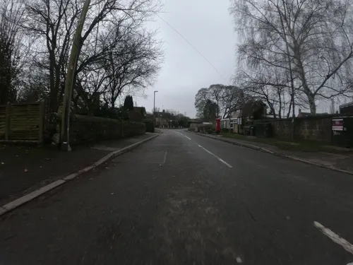
Damsons Coffee House
Cafe · Coffee Shop, Breakfast, Sandwich · 1.2 mi
2-4 Rectory Lane, Derby
Tu-Sa 09:00-14:30
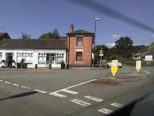



5 more on the map.
History
Pigot and Co's Commercial Directory for Derbyshire, 1835 described Little Eaton as follows:
"...a chapelry and village, in that part of the parish of St. Alkmund which is in the hundred of Morleston and Litchurch, rather more than one mile from Duffield. Here are many valuable collieries and productive stone quarries; bleaching grounds, belonging to Messrs. Smith & Sons, and machine-paper works of Messrs. Tempest & Son; there are, besides, malting concerns, and corn-mills on the Derwent river."
Many of the village's historic buildings are built of stone from local quarries in the 1800s. The wealth of gritstone, minerals and coal in the area and further north in Denby, Horsley, and Smalley, put Little Eaton on the map. Previously, pack horses had been used to transport goods to Derby, but in 1793 the Derby Canal was extended to Little Eaton. It continued to operate until 1908 but is now largely filled in.
Peckwash paper mill, c. 1800, at the north end of the village was recorded in 1851 as one of the largest in the world and brought much prosperity to the area. It is now a private house – the chimney continues to be a dominant feature of the landscape. East of the mill, on the hill, is a terrace of 14 cottages known as Blue Mountain cottages and built for the paper mill in c. 1850.
Read more of the history
Other buildings of note include the carefully renovated Grade-II-listed Malthouse on Duffield Road, which was built in 1780 and is the former home of the Little Eaton Brewery Company (later owned by Offiler's), and Elms Farmhouse at 21 Duffield Road, a Grade-II-listed working farmhouse originally built in 1704.
Little Eaton was once the terminus of the Little Eaton Gangway – the Derby Canal Railway – where it joined the Derby Canal. A gang was a set of six to eight wagons drawn by four horses. The bodies of the wagons were taken off their bogies and loaded onto the barges at the canal wharf and then towed by horses to Derby. This 3' 6" gauge horse-operated line was authorised by the Derby Canal Act 1793 and its construction was largely the work of Benjamin Outram; it was opened in 1795 and closed in 1908. The tramroad ran from the terminus of the Derby Canal northwards to Smithy Houses, a distance of four miles, and then continued for a further mile to Denby Hall Colliery. In this area were several branches: to Salterwood North Colliery near Marehay Hall, Denby Pottery and Henmoor Colliery. A bridge remains at Little Eaton and a culvert at Smithy Houses, in addition to general earthworks. The main line was single with passing places at intervals. Between the rails the ground was always made up level with the tops of the sleeper blocks to provide a clear surface for the horses.
Little Eaton was later served by Little Eaton railway station on the Midland Railway Ripley Branch.
In the early 20th century, Little Eaton was a popular resort for many working people, with a train trip or canal ride to local woods, quarries and tearooms being a popular Sunday and bank holiday outing.
A well-known and popular character was Alice Grace, the 'Little Eaton Hermit', born in 1867 and who on being evicted from her cottage lived in sheds, barns and disused buildings, until finally residing in her famous box home (a box that used to hold bacon that was donated by the local butcher) at the pinfold on 'Th Back o' the Winns' in Coxbench Wood. She spent 20 years as a hermit until forcibly taken to the Union workhouse at Shardlow in 1907. She died aged 60 in 1927. Her story is told in a song "Alice in the Bacon Box" by Derbyshire singer-songwriter Lucy Ward.
On 26 March 1903, Thomas Bates, a prominent figure in Little Eaton, died. Bates was born in a house on Duffield Road and was educated at the local National School, which then became the original village hall (also known as the parish rooms). In his will Bates donated £1,000 to the village, for the draining, levelling, fencing and laying out of a park – having donated the land for a park during his lifetime. He also left money to employ a caretaker for the park. According to the will, the park was to be named St Peter's Park, a fact which puzzled those who knew of him because of his love of St Paul's Church (built in 1791, enlarged in 1837 and then heavily modernised in 1851), which can be found directly opposite the park. There was a reason behind his request, however – he was born on St Peter's Day, 29 June.
There is a polished granite pillar by the entrance to the park. The north-facing side of the pillar bears an engraving celebrating the coronation of King Edward VII with the legend 'Fear God, Honour the King' underneath. The south side has an inscription honouring teachers of the National school: Mrs Cocker, schoolmistress; William Bland, schoolmaster; John Latham, vicar and Samuel Lewis, Sunday school teacher. Although he is not mentioned on the pillar, the park is also dedicated to Bates. The two plaques visible on the base of the obelisk also mark the coronation of Queen Elizabeth II (2 June 1953), the Golden Jubilee of the park (13 June 1953) and the Centenary of the park (June 2003).
The village has four pubs today, but used to have a fifth, called The Anchor. It was on the main road, opposite the turning to Morley Lane, which leads to Drum Hill. The building still stands, but is now a house and the only indication of its past is a stained-glass picture of an anchor in one of the corner windows. The pub closed some time in the 19th century.
From the History section of Little Eaton on Wikipedia, under CC BY-SA 4.0.
Notable people from Little Eaton
- John HopeNew Zealand cricketer, born 1841
Born in Little Eaton, according to Wikidata (CC0). Each name links to its Wikipedia article.
Where to stay29
Churches and places of worship26
Shopping4
Gas and EV charging1
Schools, colleges and libraries3
Healthcare5
Map of Little Eaton
120 places. The map loads OpenStreetMap tiles when you open it.
Getting there and nearby towns
East Midlands Airport (EMA) is the nearest airport with scheduled flights listed in OpenStreetMap, 11 miles away.
- Derby 3 mi south, about 5 min by car
- Chaddesden 3 mi south, about 5 min by car
- Smalley 3 mi northeast, about 5 min by car
- Belper 4 mi north, about 6 min by car
- Ripley 5 mi northeast, about 8 min by car
- Heanor 5 mi northeast, about 9 min by car
- Ilkeston 6 mi east, about 10 min by car
- Sinfin 6 mi south, about 10 min by car
- Eastwood 7 mi east, about 11 min by car
- Kimberley 8 mi east, about 13 min by car
Drive times are estimates from straight-line distance, not routes.
Towns near Little Eaton


Keep exploring
Local news
Headlines from INDB.
Reviews, tips and questions
Loading what members have shared...
Sources and licences
- GeoNames (CC BY 4.0): population, coordinates, regions and time zone
- Mapillary (see each image): photos
- OpenStreetMap contributors (ODbL 1.0): places, airports, map data
- Wikidata (CC0 1.0): elevation, founding date, time zone, website, landmarks and historic places
- Wikimedia Commons (see each image): photos
- Wikipedia (CC BY-SA 4.0): overview and history text
Photo credits
- Derby Canal Railway-Little Eaton, Loading into Boats, July 1908, Unknown author Unknown author, Public domain
- Derby Canal Railway-Little Eaton, Arrival or last "Gang" (1), July 1908, Unknown author Unknown author, Public domain
- Derby Canal Railway-Little Eaton, Arrival or last "Gang" (2), July 1908, Unknown author Unknown author, Public domain
- Derby Canal Railway-Little Eaton, Points and Crossings, July 1908, Unknown author Unknown author, Public domain
- Derby Canal Railway-between Coxbench and Little Eaton, Waggons and Horses, July 1908, Unknown author Unknown author, Public domain
- Station Road, Little Eaton, Jonathan Clitheroe, CC BY-SA 2.0
- Assembly Rooms Study, Dan Sellers, CC BY-SA 4.0
- Exeter Bridge, Steve Bowen ( talk ), Public domain
- Derby Guildhall, Charlesdrakew, Public domain
- Derby Museum Flowers 2475926344 d64a8a8f6e o, Janet Roberts from UK, CC BY-SA 2.0
- Green glazed jug Derby, Andy Mabbett, CC BY 3.0
- Duffield Castle 225335 a19c01e6, Mike Bardill, CC BY-SA 2.0
- Kedleston Hall 20080730-03, Hans A. Rosbach, CC BY-SA 3.0
- Derby's Museum of Making, Matt Brown, CC BY 2.0
- Derby 41 Friar Gate (Pickford's House) 2012-12-10 (8261629423), sps1955 from UK, CC BY 2.0
- Roman.Britain.campaigns.43.to.60, my work, CC BY-SA 3.0
- All Saints Church, Kedleston, Jpb1301, CC BY-SA 3.0
- St Clements, Horsley, Derbyshire, Rob Howl, CC BY-SA 2.0
- St John the Evangelist Church, Derby (2), Harry Mitchell, CC BY-SA 3.0
- Milford church 014659 b3061770, Garth Newton, CC BY-SA 2.0
- University of Derby Library, Lianne99, CC BY-SA 4.0
- All Saints Church, Breadsall, Richard Croft, CC BY-SA 2.0
- Allestree Hall, Dommccas, CC BY 3.0
- Horston Castle as it stands today, Cirrus9 at English Wikipedia, Public domain
- St Alkmunds Church Duffield, https://www.flickr.com/photos/eamoncurry/4537408809/sizes/l/in/photostream/, CC BY 2.0
- Darley Park, OnFire238, CC BY-SA 4.0
- Derby Canal Railway-Rails and Crossings, Unknown author Unknown author, Public domain
- Derby Canal Railway-Showing Construction, Unknown author Unknown author, Public domain
- Derby Canal Railway-Crane for Boat loading, Unknown author Unknown author, Public domain
- Derby Canal Railway-Showing Construction and Waggon, Unknown author Unknown author, Public domain
- Derby Canal Railway-Waggon and Horses, July 1908, Driver W. Woolley, Unknown author Unknown author, Public domain
- Bridge at The Town, G105b, CC BY-SA 3.0
- Underside of Friar Gate Bridge, JHMcGloin, CC BY-SA 4.0
- Saint Alkmunds Way Footbridge, TenthEagle Steve Bowen, CC BY-SA 3.0
- City of Derby - Derby War Memorial - 20240913102552, Acediscovery, CC BY-SA 4.0
- Street-level photo, ntzm, CC BY-SA 4.0
- Street-level photo, southglos, CC BY-SA 4.0
- Street-level photo, ntzm, CC BY-SA 4.0
- Street-level photo, southglos, CC BY-SA 4.0
- Street-level photo, ntzm, CC BY-SA 4.0
- Street-level photo, jamestait, CC BY-SA 4.0
- Street-level photo, choffee, CC BY-SA 4.0
- Street-level photo, matth81, CC BY-SA 4.0
- Street-level photo, southglos, CC BY-SA 4.0
- Street-level photo, ntzm, CC BY-SA 4.0
- Street-level photo, ntzm, CC BY-SA 4.0
- Street-level photo, matth81, CC BY-SA 4.0
- Street-level photo, southglos, CC BY-SA 4.0
- Street-level photo, matth81, CC BY-SA 4.0
- Street-level photo, ntzm, CC BY-SA 4.0
- Street-level photo, ntzm, CC BY-SA 4.0
- Street-level photo, southglos, CC BY-SA 4.0
- Street-level photo, ntzm, CC BY-SA 4.0
- Street-level photo, ntzm, CC BY-SA 4.0
- Street-level photo, ntzm, CC BY-SA 4.0
- Street-level photo, ntzm, CC BY-SA 4.0
- Street-level photo, ntzm, CC BY-SA 4.0


Page built November 10, 2026. Spotted a mistake? Tell us or suggest a place.