


Manor Park, United Kingdom
Manor Park is a town of 15,318 people in England, United Kingdom.
Why visit Manor Park
Townapedia lists 49 museums and landmarks, 42 parks and trails, 250 places to eat, 33 places to stay and 12 attractions in and around town.
Highlights include ArcelorMittal Orbit, Bow Bridge, Redbridge Museum and The Temple.
Weather in Manor Park
Forecast from MET Norway (CC BY 4.0). Full forecast
About Manor Park
Manor Park is a residential area of the London Borough of Newham in east London, England. The area is bordered by Ilford to the east, Forest Gate to the west, Wanstead to the north, and East Ham to the south.
From the Wikipedia article Manor Park, London (this version), under CC BY-SA 4.0.
Photos of Manor Park


Things to do12

ArcelorMittal Orbit
Monument and historic site · 2.8 mi
Sculpture and observation tower in the Olympic Park in Stratford, London


Cody Dock Rolling Bridge
Bridge · 3.1 mi
Unpowered rolling bridge in Cody Dock, Canning Town, London

Leamouth Lifting Footbridge
Bridge · 3.0 mi
Pedestrian bridge over Bow Creek


The Broadway
Cinema and theater · 1.6 mi
Theatre in Barking, London, England, part of Barking Town Hall


Biota!
Zoo and aquarium · 3.3 mi
Proposed aquarium in Docklands, London

Thames Gateway Bridge
Bridge · 3.3 mi
Proposed new crossing of the River Thames, in east London, England

Museums and landmarks49


Columbarium
Monument and historic site · 0.7 mi
Columbarium at City of London Cemetery

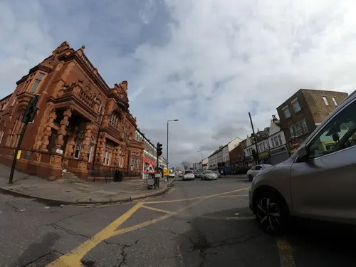
Old East Ham Library
Monument and historic site · 1.2 mi
High Street South, London
Old Tech College
Monument and historic site · 1.2 mi
Barking Road, London

The Spotted Dog
Monument and historic site · 1.2 mi
212 Upton Lane, London

Denmark Arms
Monument and historic site · 1.1 mi
381 Barking Road, London

491 Gallery
Museum · 2.2 mi
Former gallery and social centre in London, England
37 more on the map.
Parks, trails and playgrounds42
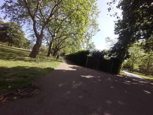
West Ham Park
Park · 1.5 mi
Park in London Borough of Newham, UK
Jan,Nov,Dec: 07:30-16:30; Feb: 07:30-17:30; Mar,Oct: 07:30-18:30;...


Bow Creek Ecology Park
Park · 3.2 mi
Park in the London Borough of Newham


Old Ford Island
Park · 3.1 mi
Nature reserve in the London Borough of Newham


Ripple Nature Reserve
Park · 3.3 mi
Nature reserve in Dagenham, London
30 more on the map.
Restaurants and cafes250
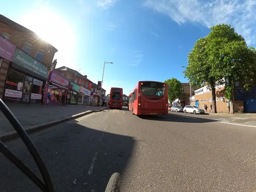
The Great Spoon of Ilford
Bar and pub · 1.2 mi
114-116 Cranbrook Road, Ilford
Mo,Tu,We,Th,Su 08:00-24:00; Fr,Sa 08:00-25:00

The Boleyn
Bar and pub · 1.4 mi
1 Barking Road, London
Mo-We 16:00-23:00; Th 12:00-23:00; Fr-Sa 12:00-01:00; Su 12:00-22:00
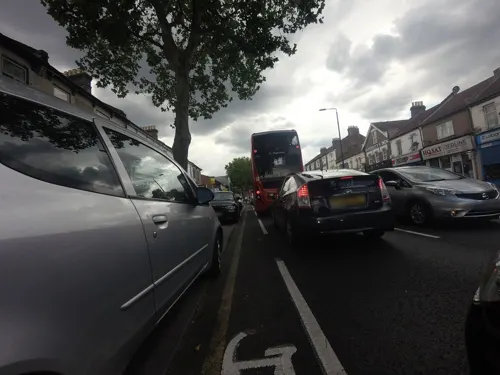
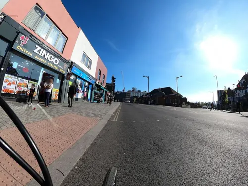
Forest Tavern
Bar and pub · Burger, International, Ice Cream, Tea, Mediterranean, Coffee Shop, Greek, Fish And Chips, Chicken, Curry, Barbecue · 1.0 mi
173-175 Forest Lane, London
Mo-Th 16:00-23:00; Fr 16:00-01:00; Sa 12:00-01:00; Su 12:00-23:00
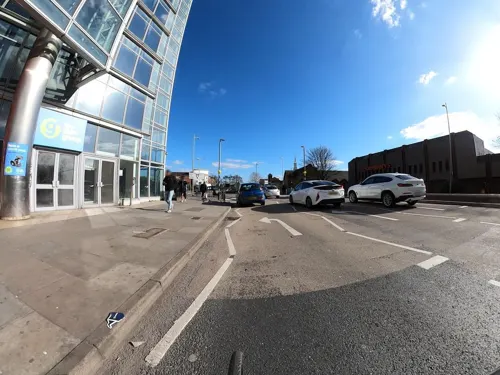
JRC Global Buffet
Restaurant · Pizza, Regional, Chinese, Japanese, Mexican, Indian, Asian, Thai · 1.1 mi
3 Winston Way, Ilford
Mo-Th 17:00-22:00; Fr 17:00-22:30; Sa 12:00-22:30; Su 12:00-21:30
Parampara - The Art of Indian Dining
Restaurant · Indian · 1.2 mi
136 Cranbrook Road, Ilford
Mo-Su 12:00-23:30
Priya Restaurant
Restaurant · Sri Lankan, Indian · 0.7 mi
209 High Street North, London
Mo-Su 11:00-00:00
The Yellow Trike
Restaurant · Mediterranean · 1.0 mi
82 Woodgrange Road, London
Mo-Fr 08:30-18:00; Sa 09:00-18:00; Su 09:00-16:00

Shinde's Pure Veg
Restaurant · Indian, South Indian · 1.0 mi
302 Green Street, London
Mo-Su 11:00-22:00

238 more on the map.
History
Manor Park is centred on one of the Roman roads developed out from Londinium between 43CE and 68CE, leaving the north-east corner of the capital Londinium, through Old Ford, Stratford, Forest Gate, Ilford and Romford to Camulodunum (Colchester), being recorded by the Romans as Iter IX in the Antonine Itinerary. Antiquarian Ivan Margary labelled the Roman road as RR3, and it became known as The Great Road.
The original route of Margary's RR3 (The Great Road) has been obscured time: 'The crossing place at Iceland Wharf, Old Ford, has been well established, and from it the eastern road ran north-eastward through Stratford, though its course through Forest Gate and Manor Park appears to be slightly distorted from the true line.'
Apart from four pairs of small semi-detached agricultural workers' houses, known as Ebor Cottages, the area to the north of Romford Road was ripe for development; the owners, the Gurney family, sold 110 acres of market garden land to Thomas Corbett in 1877. The Corbett family built the Woodgrange and Durham Road estates between 1877 and 1892. The Forest Gate Weekly recorded the attractiveness of the estate, it having "the three great essentials to the average city man of easy access, reasonable rentals and a first class local market."
From the History section of Manor Park, London on Wikipedia, under CC BY-SA 4.0.
More about Manor Park
Geography
Manor Park was part of the County Borough of East Ham, Essex until 1965, when the Greater London county was formed. The area postcode is E12 and it is part of the East London post town.
The Durham Road Conservation Zone is a small late-Victorian development, built close to Manor Park station. It was designated a Conservation Area in 1984 to retain its original charm and character. Additional planning controls were introduced in 1998 to protect and enhance its special character. The area, popularly referred to as Manor Park Village, was originally developed in the 1880s on farmland that formed part of the Gurney estate. It was built by one builder to an overall plan, with a limited range of house styles giving the area a distinctive character and unity. The developers, the Corbett family, built several suburban estates including the adjacent Woodgrange Estate in Forest Gate.
A direct line of Margary's identified ancient Roman Road RR3 from the Old Ford crossing, to the ancient river crossing at Ilford, would run east through a section of the estate, north-east to the area of Manor Park station.
Education
Manor Park is home to many primary schools, including Salisbury primary school, which opened in 1893; it is accessible by the main Romford Road or High Street North.
From the Wikipedia article Manor Park, London, under CC BY-SA 4.0.
Notable people from Manor Park
 Jimmy GreavesEnglish professional football player (1940-2021)Photo: Jack de Nijs for Anefo / Anefo, CC BY-SA 3.0 nl
 Steve MarriottBritish guitarist and singer (1947–1991)Photo: Dina Regine, CC BY-SA 2.0
 Bobby GeorgeEnglish darts playerPhoto: User:Mariecarmen1957, CC BY-SA 3.0
 Matt TaylorBritish scientistPhoto: ESA/S.Bierwald, CC BY-SA 2.0
 George Leslie Drewryrecipient of the Victoria CrossPhoto: Ernest Brooks, Public domain
- Edith ThompsonEnglish woman executed as accomplice to murder of her husband (1893–1923)
- Len Clarkcricketer (1914-2000)
- Frank BurrillEnglish footballer
- Hubert HuntBritish flying ace (1898-1981)
Born in Manor Park, according to Wikidata (CC0). Each name links to its Wikipedia article.
Where to stay33
Churches and places of worship106
Church of St. Mary the Virgin
Church · Anglican · 0.5 mi
St Mary's Approach, London
St Barnabas Parish Church
Church · Anglican · 0.5 mi
Browning Road, London
Saint Antony's Church
Church · Roman Catholic · 1.2 mi
56 St Antony's Road, London
Shopping48
Gas and EV charging11
Schools, colleges and libraries67
Healthcare38
Shrewsbury Pharmacy & Clinic
Clinic and pharmacy · 0.8 mi
205 Plashet Grove, London
Map of Manor Park
250 places. The map loads OpenStreetMap tiles when you open it.
Getting there and nearby towns
London City Airport (LCY) is the nearest airport with scheduled flights listed in OpenStreetMap, 3 miles away.
- Ilford 1 mi northeast, about 2 min by car
- Barking 2 mi southeast, about 3 min by car
- West Ham 2 mi southwest, about 3 min by car
- Wanstead 2 mi northwest, about 3 min by car
- Leyton 3 mi west, about 4 min by car
- Snaresbrook 3 mi northwest, about 4 min by car
- Goodmayes 3 mi east, about 5 min by car
- Walthamstow 4 mi northwest, about 7 min by car
- Woodford Green 4 mi north, about 7 min by car
- Charlton 4 mi south, about 7 min by car
Drive times are estimates from straight-line distance, not routes.
Towns near Manor Park


Keep exploring
Local news
Headlines from INDB.
Reviews, tips and questions
Loading what members have shared...
Sources and licences
- GeoNames (CC BY 4.0): population, coordinates, regions and time zone
- Mapillary (see each image): photos
- OpenStreetMap contributors (ODbL 1.0): places, airports, map data
- Wikidata (CC0 1.0): elevation, founding date, time zone, website, landmarks and historic places
- Wikimedia Commons (see each image): photos
- Wikipedia (CC BY-SA 4.0): overview and history text
Photo credits
- Earl of Essex, Manor Park, E12 (4737603713), Ewan Munro from London, UK, CC BY-SA 2.0
- Earl of Essex, Manor Park, E12 (4738205992), Ewan Munro from London, UK, CC BY-SA 2.0
- William the Conqueror, Manor Park, E12 (4737583931), Ewan Munro from London, UK, CC BY-SA 2.0
- E12 5 Edward VII A size pillar Romford Road Manor Park 2026-06-17, Steve Knight, CC BY 4.0
- Manor Park Library, London E12 - 2026-06-17, Steve Knight, CC BY 4.0
- ArcelorMittal Orbit at night, you_only_live_twice from Lighthorne Heath, England, CC BY-SA 2.0
- ECR(1851) p18b - Bow Bridge, Unknown author, Public domain
- Square Dock View Cody Dock Rolling Bridge, Dominicos, CC BY-SA 4.0
- Leamouth Lifting Footbridge north abutment, IIVQ, CC BY-SA 4.0
- Royal Victoria Dock Bridge, Liline sur Flickr, CC BY 2.0
- The Yard Theatre, AlexandraHC, CC BY-SA 4.0
- Beckton District Park South, Dudley Miles, CC0
- Greatfields Park (18843012584), Matt Brown from London, England, CC BY 2.0
- Dagenham Brook, Nigel Cox, CC BY-SA 2.0
- Mayesbrook Park 2, Dudley Miles, CC BY-SA 3.0
- Old Ford Island 1, Dudley Miles, CC BY-SA 4.0
- South Park, Ilford (2012-06-21), Thebrid, CC BY-SA 3.0
- St Bon's Black Badge, PaulHalliwell, CC BY-SA 3.0
- Boleyn Public House Upton Park, Ewan Munro, CC BY-SA 2.0
- Dissenters' Chapel at City of London Cemetery and Crematorium 1, Acabashi, CC BY-SA 4.0
- Catacomb columbarium City of London Cemetery Newham London England 1, Acabashi, CC BY-SA 4.0
- The Temple, Wanstead Park (1), The wub, CC BY-SA 4.0
- Passmore Edwards Public Library, East Ham, Luciferfan, CC BY-SA 4.0
- St. Barnabas Church, Manor Park. Exterior, James Ramsay, CC BY 4.0
- Anglican Church chapel City of London Cemetery and Crematorium 2, Acabashi, CC BY-SA 4.0
- East Ham Library (3625604368), JuliaC2006 from Rochester, UK, CC BY 2.0
- London Borough of Newham - Dukes Head Public House - 20230404153210, Hjamesberglen, CC BY-SA 4.0
- London Borough of Barking and Dagenham - Barking Baptist Tabernacle - 20230404140145, Hjamesberglen, CC BY-SA 4.0
- Redbridge central library (34980894720), JuliaC2006 from Rochester, UK, CC BY 2.0
- The Boleyn, East Ham, Matt Brown, CC BY 2.0
- Southeast View of the Church of Saint Mary, Little Ilford, Doyle of London, CC BY-SA 4.0
- Street Art, Woodgrange Park, Simon from London, United Kingdom, CC BY 2.0
- Romford Road Fish Bazar 2014-05-03, Adrien Lebrun, CC BY 2.0
- Bovril Romford Road, Ewan-M, CC BY-SA 2.0
- 37099 Woodgrange Park, kitmasterbloke, CC BY 4.0
- 357 045 Woodgrange Park, kitmasterbloke, CC BY 4.0
- F. Lucking, Ewan-M, CC BY-SA 2.0
- 99 003 & 66 741 pass Woodgrange Park, kitmasterbloke, CC BY 4.0
- Broadway, Barking, IG11 (4497643932), Ewan Munro from London, UK, CC BY-SA 2.0
- Barking Park, Simon from London, United Kingdom, CC BY 2.0
- Bow Creek Ecology Park, Matthew Black, CC BY-SA 2.0
- Street-level photo, dankarran, CC BY-SA 4.0
- Street-level photo, dankarran, CC BY-SA 4.0
- Street-level photo, rskedgell, CC BY-SA 4.0
- Street-level photo, rskedgell, CC BY-SA 4.0
- Street-level photo, dankarran, CC BY-SA 4.0
- Street-level photo, dankarran, CC BY-SA 4.0
- Street-level photo, dankarran, CC BY-SA 4.0
- Street-level photo, rskedgell, CC BY-SA 4.0
- Street-level photo, dankarran, CC BY-SA 4.0
- Street-level photo, dankarran, CC BY-SA 4.0
- Street-level photo, dankarran, CC BY-SA 4.0
- Street-level photo, dankarran, CC BY-SA 4.0
- Street-level photo, dankarran, CC BY-SA 4.0
- Street-level photo, rskedgell, CC BY-SA 4.0
- Street-level photo, dankarran, CC BY-SA 4.0
- Street-level photo, dankarran, CC BY-SA 4.0
- Street-level photo, rskedgell, CC BY-SA 4.0
- Street-level photo, dankarran, CC BY-SA 4.0
- Street-level photo, dankarran, CC BY-SA 4.0
- Street-level photo, dankarran, CC BY-SA 4.0
- Street-level photo, rskedgell, CC BY-SA 4.0
- Street-level photo, dankarran, CC BY-SA 4.0
- Street-level photo, gness, CC BY-SA 4.0
- Street-level photo, dankarran, CC BY-SA 4.0
- Street-level photo, dankarran, CC BY-SA 4.0
- Street-level photo, rskedgell, CC BY-SA 4.0
- Street-level photo, rskedgell, CC BY-SA 4.0
- Street-level photo, dankarran, CC BY-SA 4.0
- Street-level photo, dankarran, CC BY-SA 4.0


Page built November 10, 2026. Spotted a mistake? Tell us or suggest a place.