


Why visit Rhayader
Townapedia lists 3 museums and landmarks, 11 places to eat, 5 places to stay and 1 attraction in and around town.
Highlights include Willow Globe Theatre, CARAD Rhayader Museum and Gallery and Gigrin Farm Red Kite Feeding Centre.
Weather in Rhayader
Forecast from MET Norway (CC BY 4.0). Full forecast
About Rhayader
Rhayader (; Welsh: Rhaeadr Gwy; pronounced [ˈr̥əɪadar ˈɡʊi̯]) is a market town and community in Powys, Wales, within the historic county of Radnorshire. The town is 20 miles (32 km) from the source of the River Wye on Plynlimon, the highest point of the Cambrian Mountains, and is located at the junction of the A470 road and the A44 road 13 miles (21 km) north of Builth Wells and 30 miles (48 km) east of Aberystwyth.
From the Wikipedia article Rhayader (this version), under CC BY-SA 4.0.
Travel tips from other travellers: Rhayader on Wikivoyage (CC BY-SA 4.0).
Photos of Rhayader


Things to do1

Museums and landmarks3

Gigrin Farm Red Kite Feeding Centre
Monument and historic site · 0.6 mi
Gigrin Farm,, Rhayader
12:30-05:00
Restaurants and cafes11




Where to stay5

History
Rhayader has long been a natural stopping point for travellers – the Romans had a stop-over camp in the Elan Valley, monks travelled between the abbeys of Strata Florida and Abbeycwmhir and drovers headed to the lucrative markets with their livestock. It was not until the 12th century that a documented history of the town began with the building of Rhayader Castle in 1177. Little remains today, with the exception of a dry moat that can be seen from Wauncapel Park.
One of the oldest buildings in Rhayader is the Old Swan, which stands on the corner of West and South Streets Rhayader. The original building was mentioned in 1676 as being one of the two inns in Rhayader at that date. Some changes were made in 1683, including the rebuilding of the three chimney stacks, and this date is carved into the old timbers inside the building.
In the 19th century, turnpike roads were only passable on payment of extortionate tolls, imposing additional burdens on already poor communities. This led to the Rebecca Riots across South and Mid Wales from 1839 to 1842, with no fewer than six of Rhayader's tollgates being demolished with impunity by local farmers dressed as women. The actions of these "Rebeccaites" led to a Commission of Inquiry being set up, and most of Rebecca's grievances were righted two years later.
Read more of the history
In the 1890s the rapidly expanding city of Birmingham, 80 miles (130 kilometres) east, viewed the nearby Elan Valley as the ideal source of clean, safe water. This was to change the face of Rhayader forever, bringing thousands of workers involved in building this massive complex of dams and reservoirs to the area. A new railway was built connecting this huge area with the main network in Rhayader, and the construction of a new village to house the workers was built on the banks of the River Elan. Work started in 1894 and the scheme was officially opened in 1904 by King Edward VII and Queen Alexandra.
The area around the town has several cairns and standing stones dating from several thousand years BCE. An important hoard of gold jewellery dating from the 1st–2nd centuries AD was found nearby in 1899. Known as the Rhayader Hoard, it is now in the Romano-British collection of the British Museum.
From the History section of Rhayader on Wikipedia, under CC BY-SA 4.0.
Notable people from Rhayader
- Robert d'Escourt AtkinsonBritish astronomer, physicist and inventor (1898–1982)
- Robert Jermain Thomasmissionary pioneer
- Billy DaviesWelsh footballer (1883-1960)
- David HamerWelsh footballer (1866-?)
- Mary JonesWelsh actress (1915-1990)
- John EvansProgressive party member of the Canadian House of Commons (1867-1958)
- Jonathan WilliamsWelsh historian
Born in Rhayader, according to Wikidata (CC0). Each name links to its Wikipedia article.
Churches and places of worship4
Shopping5
Gas and EV charging2
Schools, colleges and libraries2
Rhayader Church in Wales Controlled School
School · 0.4 mi
Bryntirion Lane, Rhayader
Healthcare1
Map of Rhayader
34 places. The map loads OpenStreetMap tiles when you open it.
Getting there and nearby towns
Swansea Airport (SWS) is the nearest airport with scheduled flights listed in OpenStreetMap, 53 miles away.
- Newtown 17 mi northeast, about 28 min by car
- Tregaron 19 mi west, about 30 min by car
- Kington 22 mi east, about 35 min by car
- Talgarth 24 mi southeast, about 39 min by car
- Aberystwyth 25 mi west, about 41 min by car
- Bishop's Castle 25 mi northeast, about 41 min by car
- Welshpool 29 mi northeast, about 47 min by car
- Craven Arms 30 mi east, about 49 min by car
- Leominster 33 mi east, about 53 min by car
- Hereford 38 mi southeast, about 1 h by car
Drive times are estimates from straight-line distance, not routes.
Towns near Rhayader


Keep exploring
Local news
Headlines from INDB.
Reviews, tips and questions
Loading what members have shared...
Sources and licences
- GeoNames (CC BY 4.0): population, coordinates, regions and time zone
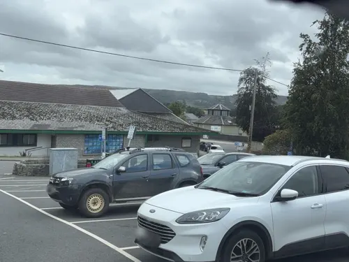
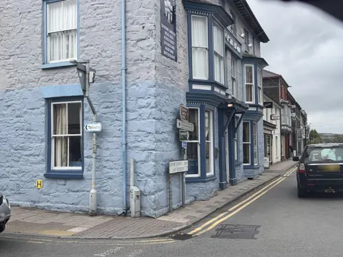
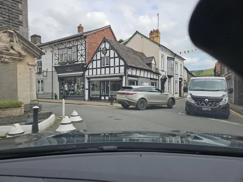
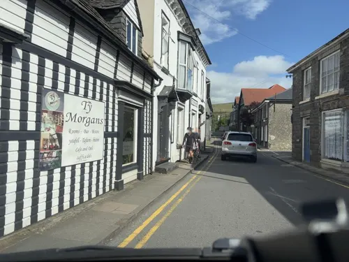
- Mapillary (see each image): photos
- OpenStreetMap contributors (ODbL 1.0): places, airports, map data
- Wikidata (CC0 1.0): elevation, founding date, time zone, website, landmarks and historic places
- Wikimedia Commons (see each image): photos
- Wikipedia (CC BY-SA 4.0): overview and history text
Photo credits
- Town clock Rhayader and corner shop, Outwivcamera, CC BY-SA 4.0
- Cattle Market Toilets Rhayader, Sionk, CC BY-SA 4.0
- St Bride's Church Cwmdaudwr, Powys, Wales - Eglwys y Santes Ffraid, Llansanffraid Cwmdeuddwr 20, Llywelyn2000, CC BY-SA 4.0
- St.Clement’s Church, St Clement, Rhayader, Powys, Wales 06, Llywelyn2000, CC BY-SA 4.0
- Llanwrthwl living willow theatre, John Stumbles, CC BY-SA 3.0
- Rhaeadr Pwoys 31, Llywelyn2000, CC BY-SA 3.0
- Rhaeadr Powys Elan Hotel 32, Llywelyn2000, CC BY-SA 3.0
- Rhaeadr Pwoys 10, Llywelyn2000, CC BY-SA 3.0
- Elan Hotel Rhayader, Sionk, CC BY 4.0
- Castle Hotel Rhayader and war memorial (3449875585), Llyfrgell Genedlaethol Cymru / The National Library of Wales from Wales/Cymru, CC0
- Street-level photo, swinetown, CC BY-SA 4.0
- Street-level photo, trigpoint, CC BY-SA 4.0
- Street-level photo, trigpoint, CC BY-SA 4.0
- Street-level photo, swinetown, CC BY-SA 4.0
- Street-level photo, swinetown, CC BY-SA 4.0
- Street-level photo, toho, CC BY-SA 4.0
- Street-level photo, swinetown, CC BY-SA 4.0
- Street-level photo, swinetown, CC BY-SA 4.0
- Street-level photo, trigpoint, CC BY-SA 4.0
- Street-level photo, trigpoint, CC BY-SA 4.0
- Street-level photo, swinetown, CC BY-SA 4.0
- Street-level photo, toho, CC BY-SA 4.0
- Street-level photo, swinetown, CC BY-SA 4.0
Page built November 10, 2026. Spotted a mistake? Tell us or suggest a place.