


Why visit Talgarth
Townapedia lists 7 museums and landmarks, 4 parks and trails, 27 places to eat, 13 places to stay and 12 attractions in and around town.
Highlights include Castell Dinas, Rhos Dirion, Bronllys Castle and Court-y-Gaer Hillfort, Felin-Fach.
Weather in Talgarth
Forecast from MET Norway (CC BY 4.0). Full forecast
About Talgarth
Talgarth is a market town, community and electoral ward in southern Powys, Mid Wales, about 12 miles (19 km) north of Crickhowell, 19 miles (31 km) north-east of Brecon and 15 miles (24 km) south-east of Builth Wells. Notable buildings in the town include the 14th-century parish church and a defensive tower house. According to traditional accounts, Talgarth was the capital of the early medieval kingdom of Brycheiniog. It is in the historic county of Brecknockshire.
From the Wikipedia article Talgarth (this version), under CC BY-SA 4.0.
Things to do12




Museums and landmarks7
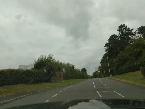
Bronllys Castle
Monument and historic site · 0.6 mi
Grade I listed castle in Powys, Wales, UK


Parks, trails and playgrounds4


Restaurants and cafes27
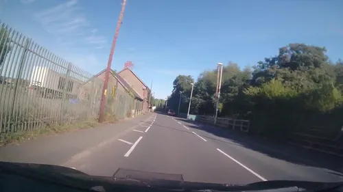
The New Gurkha Inn
Bar and pub · Nepalese, Curry, Grill
Bronllys Road, Brecon
Tu-Th 17:30-22:00; Fr-Sa 17:30-22:30; Su 18:00-22:00
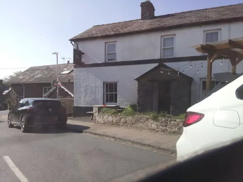
Castle Inn
Bar and pub · 4.0 mi
Mo-Fr 16:00-22:00; Sa 16:00-23:30; Su 12:30-23:30




15 more on the map.
History
A fort near Cwmdu (Pen-y-Gaer) is of significance to Talgarth, as it was the site where a 1st-century AD British chieftain, Caratacus (of the Catuvellauni tribe), fought with the Romans.
Talgarth was the royal residence of Brychan, King of Brycheiniog, in the 5th century AD. With three wives, 24 daughters and 24 sons, the family was an important force in Wales and responsible for the spread of Christianity throughout the region.
Talgarth (and Brycheiniog in general) was seized by the Norman Bernard of Neufmarché, who issued an undated charter concerning the district. The town became part of Bernard's Lordship of Brecknock (a Marcher lordship – an almost sovereign state). The Normans established Castell Dinas to control the passes on both sides.
In the reign of King John, the then Lord fell out with the king, and the east of the lordship was detached in punishment, forming a new Marcher Lordship of Blaenllynfi, ruled by Peter FitzHerbert. Although the caput of the latter lordship was officially Blaenllynfi Castle, Talgarth was its principal town, and the lordship was sometimes called the Sub-Lordship of Talgarth as a result.
The Lordship of Blaenllynfi eventually found its way back to the descendants of the last Welsh princes of Brycheiniog (in the person of Rhys ap Hywel).
Read more of the history
Rhys played a significant part in the implementation (though not the planning) of the final coup against Edward II, and consequently Edward's son, Edward III, was not well disposed towards him; he dispossessed Rhys' heir, and merged the Lordship of Blaenllynfi back into the Lordship of Brecknock (which, with the Lordship of Buellt, eventually became Brecknockshire, centuries later).
During the Jacobite revival, support in Talgarth was strong. The town was a Jacobite hotspot, backing Bonnie Prince Charlie in his attempt to retake the crown for the Stuarts. In 1727 a meeting of local Jacobite sympathisers in Talgarth ended with members having to appear before a local magistrate to explain their actions.
During the Jacobite rising of 1745, Bonnie Prince Charlie had expected the Welsh Jacobites to offer support, but after the Jacobite David Morgan was hanged, drawn and quartered for treason, the Welsh feared persecution. The failure of the Welsh Jacobites to join the House of Stuart prince in Derby was one of the main failures of the Jacobite uprising.
In 1735, Talgarth saw the birth of the Welsh Methodist revival when Howel Harris, probably the most influential person to come from Talgarth, was converted in Talgarth church while listening to a sermon by the Reverend Pryce Davies. The revival would sweep across Wales, leading to the development of one of the most influential Welsh denominations, that of the Calvinistic Methodists. It was at Talgarth that William Williams Pantycelyn converted, leading him to become one of Wales' most important hymn writers. Nearby is Trevecca, the location of the famous college that Harris established. Hywel Harris is buried in Talgarth at St Gwendoline's Church and his tombstone is still visible today. Talgarth is also thought to be the birthplace of the religious poet Jane Cave.
From the History section of Talgarth on Wikipedia, under CC BY-SA 4.0.
More about Talgarth
Arts and culture
The Talgarth Festival of the Black Mountains, a popular countryside event, is held each August. Talgarth Walking Festival takes place in May, making use of the town's position at the foot of the Black Mountains.
Talgarth was an important healthcare location for many years, as the home of the large psychiatric hospital, the Mid Wales Hospital and the Mid and West Wales College of Nursing and Midwifery. Changes in health legislation in the 1980s saw such hospitals closed. The Mid Wales Hospital closed permanently in the 1990s. Since the early 2000s, regeneration efforts have been in place to support Talgarth's future. A relief road has reduced road traffic in the town centre, allowing new businesses to open and buildings to be renovated and restored. The historic mill in the centre of town featured on the BBC's Village SOS television series.
From the Wikipedia article Talgarth, under CC BY-SA 4.0.
Notable people from Talgarth
 Howell HarrisWelsh preacher (1714–1773)Photo: Book author, Hughes; artist not specified, Public domain
 William PowellWelsh politicianPhoto: National Assembly for Wales, CC BY 2.0
- Brychan BrycheiniogKing of Brycheiniog in South Wales
- Richard Livsey, Baron Livsey of TalgarthBritish politician (1935-2010)
- David DaviesWelsh footballer, born 1879
- Edward EdwardsBritish priest
- Thomas WilliamsWelsh priest, died 1770
- Geoff LewisBritish jockey (1935–2025)
Born in Talgarth, according to Wikidata (CC0). Each name links to its Wikipedia article.
Where to stay13
Churches and places of worship16
Shopping2
Gas and EV charging3
Schools, colleges and libraries6
Healthcare4
Map of Talgarth
94 places. The map loads OpenStreetMap tiles when you open it.
Getting there and nearby towns
Cardiff Airport (CWL) is the nearest airport with scheduled flights listed in OpenStreetMap, 42 miles away.
- Brynmawr 14 mi south, about 22 min by car
- Ebbw Vale 15 mi south, about 24 min by car
- Abergavenny 15 mi southeast, about 24 min by car
- Tredegar 15 mi south, about 25 min by car
- Ewyas Harold 15 mi east, about 24 min by car
- Kington 17 mi northeast, about 27 min by car
- Merthyr Tydfil 18 mi south, about 29 min by car
- Abertillery 19 mi south, about 30 min by car
- Aberdare 22 mi southwest, about 35 min by car
- Hereford 22 mi east, about 36 min by car
Drive times are estimates from straight-line distance, not routes.
Towns near Talgarth


Keep exploring
Local news
Headlines from INDB.
Reviews, tips and questions
Loading what members have shared...
Sources and licences
- GeoNames (CC BY 4.0): population, coordinates, regions and time zone
- Mapillary (see each image): photos
- OpenStreetMap contributors (ODbL 1.0): places, airports, map data
- Wikidata (CC0 1.0): elevation, founding date, time zone, website, landmarks and historic places
- Wikimedia Commons (see each image): photos
- Wikipedia (CC BY-SA 4.0): overview and history text
Photo credits
- Tourist information centre The Tower Shop The Square, Talgarth, Powys LD3 0BW 01874 712226 - panoramio, cowbridgeguide.co.uk, CC BY 3.0
- Talgarth Town Hall, Jonathan Billinger, CC BY-SA 2.0
- St Bilo, Llanfilo, Philip Pankhurst, CC BY-SA 2.0
- St Ellyw, Llanelieu (cropped), Philip Pankhurst, CC BY-SA 2.0
- Castell Dinas from the air, Jasper Fforde, CC BY-SA 3.0
- Rhos dirion, Gabby77 ( talk ), Public domain
- Eglwys Sant Peulin, Llangors 404959, Simon Atkin, CC BY-SA 2.0
- Adeiladau Canolfan Trefeca, GeraintTudur2, CC BY-SA 3.0
- Street-level photo, trigpoint, CC BY-SA 4.0
- Street-level photo, southglos, CC BY-SA 4.0
- Street-level photo, laye, CC BY-SA 4.0
- Street-level photo, southglos, CC BY-SA 4.0
- Street-level photo, trigpoint, CC BY-SA 4.0
- Street-level photo, southglos, CC BY-SA 4.0
- Street-level photo, swinetown, CC BY-SA 4.0
- Street-level photo, laye, CC BY-SA 4.0
- Street-level photo, trigpoint, CC BY-SA 4.0
- Street-level photo, trigpoint, CC BY-SA 4.0
- Street-level photo, southglos, CC BY-SA 4.0


Page built November 10, 2026. Spotted a mistake? Tell us or suggest a place.