



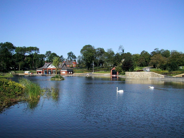
Why visit Shaw
Townapedia lists 10 museums and landmarks, 13 parks and trails, 79 places to eat, 1 place to stay and 4 attractions in and around town.
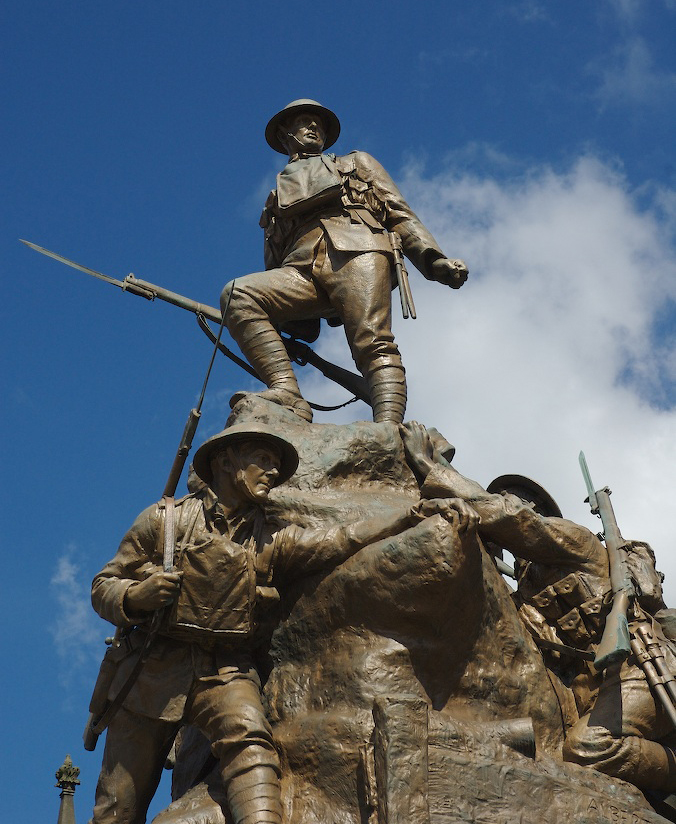
Highlights include Oldham Coliseum Theatre, Oldham Theatre Workshop, Crompton War Memorial and Gallery Oldham.
Weather in Shaw
Forecast from MET Norway (CC BY 4.0). Full forecast
About Shaw
Shaw is a ward and part of the built-up area in the civil parish of Shaw and Crompton, in the Oldham district, in the county of Greater Manchester, England. It is about 9 miles from Manchester city centre. In 2021 the built-up area of Shaw and Crompton had a population of 18,245. In 2021 the ward had a population of 10,045.
From the Wikipedia article Shaw, Greater Manchester (this version), under CC BY-SA 4.0.
Photos of Shaw

Things to do4

Oldham Coliseum Theatre
Cinema and theater · 2.0 mi
Theatre and former cinema in Oldham, Greater Manchester, England
Oldham Theatre Workshop
Cinema and theater · 2.1 mi
Youth theatre group based in the north west of England

Museums and landmarks10

Crompton War Memorial
Monument and historic site · 0.8 mi
War memorial in Shaw and Crompton, Oldham, Greater Manchester, England, UK

Gallery Oldham
Museum · 2.1 mi
Art gallery in Greater Manchester, England, United Kingdom

Oldham War Memorial
Monument and historic site · 2.0 mi
War memorial in Oldham, Greater Manchester, England, UK
Saddleworth Museum and Gallery
Museum · 3.4 mi
Museum in Uppermill, Oldham, Greater Manchester, England, United Kingdom

Tandle Hill
Monument and historic site · 2.5 mi
Hill and country park in Greater Manchester, England

Ellenroad Ring Mill Engine
Museum · 2.6 mi
Stationary steam engine and museum in Milnrow, Rochdale, Greater Manchester, England, UK

Parks, trails and playgrounds13

Alexandra Park
Park · 2.4 mi
Park in Oldham, Greater Manchester, England, UK

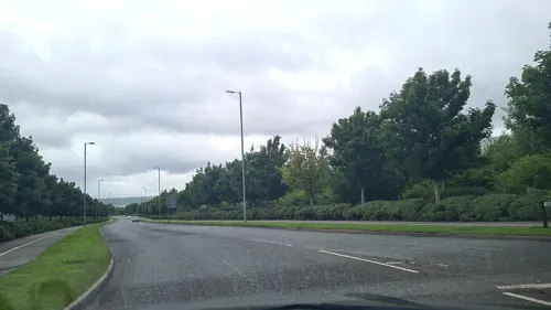

Werneth Park, Oldham
Park · 3.0 mi
Public park in Oldham, Greater Manchester, United Kingdom

1 more on the map.
Restaurants and cafes79
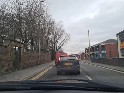
La Salsa
Restaurant · Tapas · 0.9 mi
Heyside, Oldham
Mo-Fr 16:00-22:00; Sa 12:00-22:30; Su 12:00-22:00
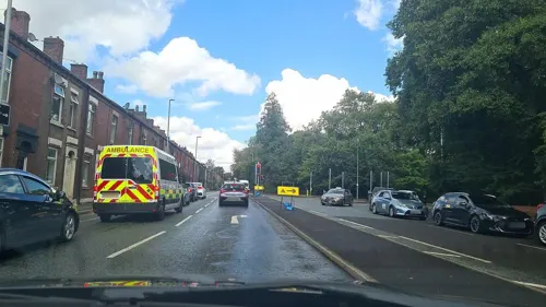
Carters Arms
Bar and pub · 1.5 mi
133 Oldham Road, Royton, Oldham
Mo-Th 15:00-23:00; Fr-Sa 12:00-00:00; Su 12:00-23:00
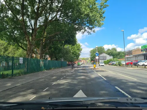




67 more on the map.
History
The name "Shaw" comes from the Old English sceaga meaning "copse" or "small wood" and was recorded as Shaghe in 1555.
From the History section of Shaw, Greater Manchester on Wikipedia, under CC BY-SA 4.0.
Where to stay1
Churches and places of worship25
Shopping10
Gas and EV charging5
Schools, colleges and libraries25
St Joseph's RC Junior, Infant and Nursery School
School · Roman Catholic · 0.7 mi
Oldham Road, Oldham
Healthcare5
Springfield House Medical Centre
Clinic and pharmacy · 1.3 mi
275 Huddersfield Road, Oldham
Map of Shaw
177 places. The map loads OpenStreetMap tiles when you open it.
Getting there and nearby towns
Manchester Airport (MAN) is the nearest airport with scheduled flights listed in OpenStreetMap, 17 miles away.
- Royton 2 mi west, about 3 min by car
- Oldham 2 mi southwest, about 4 min by car
- Lees 2 mi south, about 3 min by car
- Chadderton 3 mi southwest, about 4 min by car
- Saddleworth 3 mi east, about 6 min by car
- Uppermill 3 mi east, about 6 min by car
- Hollinwood 4 mi southwest, about 6 min by car
- Rochdale 5 mi northwest, about 7 min by car
- Middleton 5 mi west, about 8 min by car
- Ashton-under-Lyne 5 mi south, about 9 min by car
Drive times are estimates from straight-line distance, not routes.
Towns near Shaw


Keep exploring
Local news
Headlines from INDB.
Reviews, tips and questions
Loading what members have shared...
Sources and licences
- GeoNames (CC BY 4.0): population, coordinates, regions and time zone
- Mapillary (see each image): photos
- OpenStreetMap contributors (ODbL 1.0): places, airports, map data
- Wikidata (CC0 1.0): elevation, founding date, time zone, website, landmarks and historic places
- Wikimedia Commons (see each image): photos
- Wikipedia (CC BY-SA 4.0): overview and history text
Photo credits
- The Pineapple, Shaw, Rept0n1x, CC BY-SA 2.0
- Crompton War Memorial (1), Rept0n1x, CC BY-SA 2.0
- Gallery Oldham, SMJ, CC BY-SA 2.0
- Oldham War Memorial, Narniauk at English Wikipedia, Public domain
- Tandal Hill Country Park, michael ely, CC BY-SA 2.0
- Alexandra Park, Peter Hyde, CC BY-SA 2.0
- River Irk, Chadderton, Roger May, CC BY-SA 2.0
- St Thomas, Lees, David Dixon, CC BY-SA 2.0
- Oldham Parish Church of St. Mary with St. Peter (1), Rept0n1x, CC BY-SA 3.0
- Friarmere St. Thomas, Michael Ely, CC BY-SA 2.0
- St Matthew's Church, Chadderton (1), Rept0n1x, CC BY-SA 2.0
- 50card m, Westwood_lad, Public domain
- St James Church, Oldham, David Dixon, CC BY-SA 2.0
- Sholver Green, Roger May, CC BY-SA 2.0
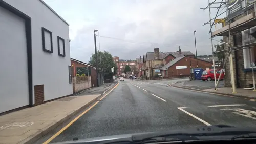
- Street-level photo, mappo2, CC BY-SA 4.0
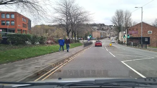
- Street-level photo, mappo2, CC BY-SA 4.0
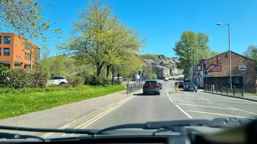
- Street-level photo, mappo2, CC BY-SA 4.0
- Street-level photo, mappo2, CC BY-SA 4.0
- Street-level photo, mappo2, CC BY-SA 4.0
- Street-level photo, mappo2, CC BY-SA 4.0
- Street-level photo, mappo2, CC BY-SA 4.0
- Street-level photo, mappo2, CC BY-SA 4.0
- Street-level photo, mappo2, CC BY-SA 4.0
- Street-level photo, mappo2, CC BY-SA 4.0
- Street-level photo, mappo2, CC BY-SA 4.0
- Street-level photo, mappo2, CC BY-SA 4.0
- Street-level photo, mappo2, CC BY-SA 4.0
- Street-level photo, mappo2, CC BY-SA 4.0
- Street-level photo, mappo2, CC BY-SA 4.0
- Street-level photo, mappo2, CC BY-SA 4.0
- Street-level photo, mappo2, CC BY-SA 4.0
- Street-level photo, mappo2, CC BY-SA 4.0
- Street-level photo, mappo2, CC BY-SA 4.0
- Street-level photo, mappo2, CC BY-SA 4.0
- Street-level photo, mappo2, CC BY-SA 4.0
- Street-level photo, mappo2, CC BY-SA 4.0


Page built November 10, 2026. Spotted a mistake? Tell us or suggest a place.