


Uppermill, United Kingdom
Uppermill is a town of 11,191 people in England, United Kingdom.
Why visit Uppermill
Townapedia lists 7 museums and landmarks, 7 parks and trails, 55 places to eat, 1 place to stay and 9 attractions in and around town.
Highlights include Pots and Pans Hill, Albion Farm Shop, Buckton Castle and Pots and Pans.
Weather in Uppermill
Forecast from MET Norway (CC BY 4.0). Full forecast
About Uppermill
Uppermill is a village in the civil parish of Saddleworth in the Metropolitan Borough of Oldham, Greater Manchester, England. Historically in the West Riding of Yorkshire, it lies on the River Tame in a valley amongst the South Pennines with the Peak District National Park directly to the east, 5 miles (8.0 km) east of Oldham and 11 miles (17.7 km) northeast of Manchester. Uppermill and the neighbouring village of Dobcross have a combined population of 7,500.
From the Wikipedia article Uppermill (this version), under CC BY-SA 4.0.
Photos of Uppermill

Things to do9


Harrops
Farm and orchard · 0.9 mi
135 Chew Valley Road, Oldham
Mo-Fr 08:00-17:00; Sa 08:00-14:00

Museums and landmarks7

Buckton Castle
Monument and historic site · 2.6 mi
12th-century castle in Mossley, Greater Manchester, England, UK

Saddleworth Museum and Gallery
Museum
Museum in Uppermill, Oldham, Greater Manchester, England, United Kingdom


Castleshaw Roman fort
Monument and historic site · 2.4 mi
Roman fort in Saddleworth, Greater Manchester, England, UK
Parks, trails and playgrounds7




Restaurants and cafes55




43 more on the map.
History
Although there is evidence of Roman activity in the area, the history of Uppermill is dominated by the expansion of wool and cotton spinning into the area during the Industrial Revolution, with the construction of several mills. Uppermill Civic Hall was completed in 1859.
From 1894 to 1900 Upper Mill was an urban district. In 1894 Upper Mill became a civil parish, being formed from the part of Saddleworth in Upper Mill Urban District, on 1 April 1900 the parish was abolished and merged with Saddleworth.
From the History section of Uppermill on Wikipedia, under CC BY-SA 4.0.
Notable people from Uppermill
- Kevin ThawBritish climber
Born in Uppermill, according to Wikidata (CC0). Each name links to its Wikipedia article.
Where to stay1
Churches and places of worship15
Shopping10
Schools, colleges and libraries9
Healthcare4
Map of Uppermill
117 places. The map loads OpenStreetMap tiles when you open it.
Getting there and nearby towns
Manchester Airport (MAN) is the nearest airport with scheduled flights listed in OpenStreetMap, 18 miles away.
- Saddleworth 0 mi east, about 1 min by car
- Lees 3 mi west, about 5 min by car
- Oldham 5 mi west, about 8 min by car
- Stalybridge 5 mi southwest, about 8 min by car
- Royton 5 mi west, about 8 min by car
- Hollinwood 6 mi southwest, about 9 min by car
- Dukinfield 6 mi southwest, about 10 min by car
- Failsworth 7 mi southwest, about 12 min by car
- Droylsden 7 mi southwest, about 12 min by car
- Glossop 8 mi south, about 12 min by car
Drive times are estimates from straight-line distance, not routes.
Towns near Uppermill


Keep exploring
Local news
Headlines from INDB.
Reviews, tips and questions
Loading what members have shared...
Sources and licences
- GeoNames (CC BY 4.0): population, coordinates, regions and time zone
- Mapillary (see each image): photos
- OpenStreetMap contributors (ODbL 1.0): places, airports, map data
- Wikidata (CC0 1.0): elevation, founding date, time zone, website, landmarks and historic places
- Wikimedia Commons (see each image): photos
- Wikipedia (CC BY-SA 4.0): overview and history text
Photo credits
- Uppermill and Railway, Paul Anderson, CC BY-SA 2.0
- High Street, Uppermill, Michael Fox, CC BY-SA 2.0
- The Commercial, Uppermill - panoramio, Gene Hunt, CC BY 3.0
- Uppermill Park, Saddleworth (250055) (9455344194), Robert Linsdell from St. Andrews, Canada, CC BY 2.0
- Buckton Castle (5) (28563211972), Richard Nevell from London, United Kingdom, CC BY-SA 2.0
- St Thomas, Lees, David Dixon, CC BY-SA 2.0
- Friarmere St. Thomas, Michael Ely, CC BY-SA 2.0
- Aldermans Hill memorial, Stevekraken, CC BY-SA 4.0
- 1-13 New Street, Julian blampied, CC BY-SA 4.0
- Looking towards Manchester from Pots and Pans Hill. Saddleworth, Benjamin Shaw, CC BY-SA 4.0
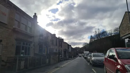
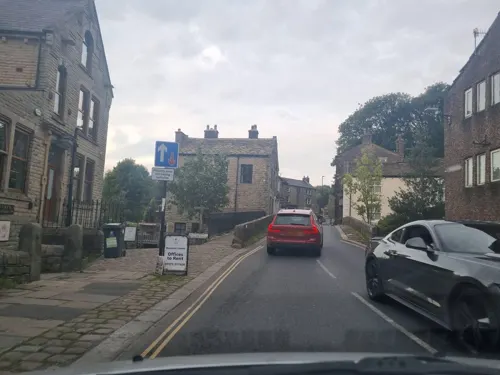
- Street-level photo, mappo2, CC BY-SA 4.0
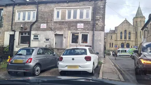
- Street-level photo, mappo2, CC BY-SA 4.0
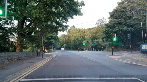
- Street-level photo, mappo2, CC BY-SA 4.0
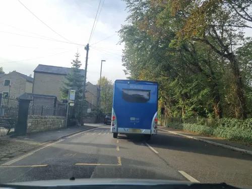
- Street-level photo, mappo2, CC BY-SA 4.0
- Street-level photo, mappo2, CC BY-SA 4.0
- Street-level photo, mappo2, CC BY-SA 4.0
- Street-level photo, mappo2, CC BY-SA 4.0
- Street-level photo, mappo2, CC BY-SA 4.0
- Street-level photo, mappo2, CC BY-SA 4.0
- Street-level photo, mappo2, CC BY-SA 4.0
- Street-level photo, mappo2, CC BY-SA 4.0
- Street-level photo, mappo2, CC BY-SA 4.0
- Street-level photo, mappo2, CC BY-SA 4.0
- Street-level photo, mappo2, CC BY-SA 4.0
- Street-level photo, mappo2, CC BY-SA 4.0
- Street-level photo, mappo2, CC BY-SA 4.0
- Street-level photo, mappo2, CC BY-SA 4.0
- Street-level photo, mappo2, CC BY-SA 4.0
- Street-level photo, mappo2, CC BY-SA 4.0
- Street-level photo, mappo2, CC BY-SA 4.0
- Street-level photo, mappo2, CC BY-SA 4.0
- Street-level photo, mappo2, CC BY-SA 4.0
- Street-level photo, mappo2, CC BY-SA 4.0
- Street-level photo, mappo2, CC BY-SA 4.0
- Street-level photo, mappo2, CC BY-SA 4.0
- Street-level photo, mappo2, CC BY-SA 4.0
- Street-level photo, mappo2, CC BY-SA 4.0
- Street-level photo, mappo2, CC BY-SA 4.0
- Street-level photo, mappo2, CC BY-SA 4.0

Page built November 10, 2026. Spotted a mistake? Tell us or suggest a place.