


Why visit Shipham
Townapedia lists 5 museums and landmarks, 15 places to eat, 4 places to stay and 4 attractions in and around town.
Highlights include Cox's Cave, Gough's Cave and Dolebury Hill Fort.
Weather in Shipham
Forecast from MET Norway (CC BY 4.0). Full forecast
About Shipham
Shipham (grid reference ST445575) is a village and civil parish in Somerset, England. It is on the western edge of the Mendip Hills near the A38, approximately 15 miles (24 km) south of Bristol. The parish includes the village of Rowberrow and the hamlet of Star. The parish population, according to the 2011 census, is 1,087.
From the Wikipedia article Shipham (this version), under CC BY-SA 4.0.
Photos of Shipham

Things to do4

Cox's Cave
Monument and historic site · 2.6 mi
Cave in United Kingdom

Gough's Cave
Monument and historic site · 2.7 mi
Cave of Cheddar Gorge, Somerset, England, UK

Museums and landmarks5


ROC Post Windscombe
Monument and historic site
Royal Observer Corps cold war nuclear fallout shelter and monitoring post. Operational 1960 to 1968.
Restaurants and cafes15
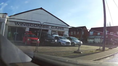
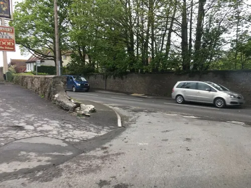
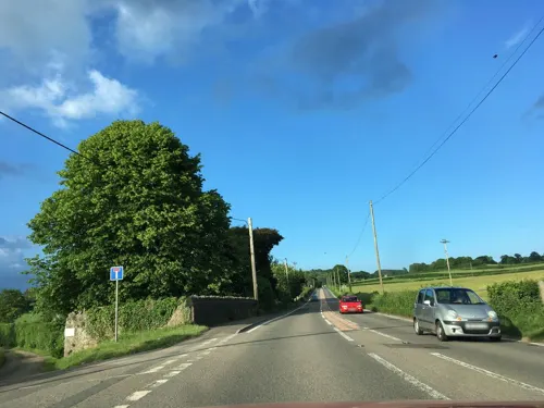
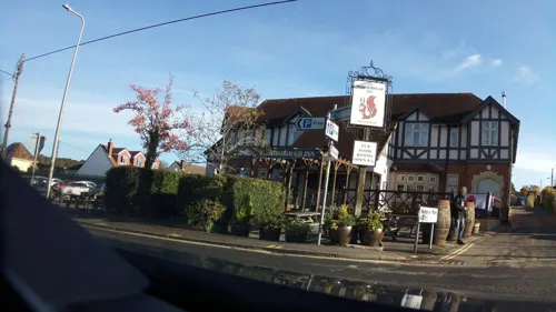
Touch of Spice
Restaurant · Indian · 1.4 mi
1C Sandford Road, Winscombe
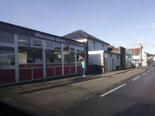
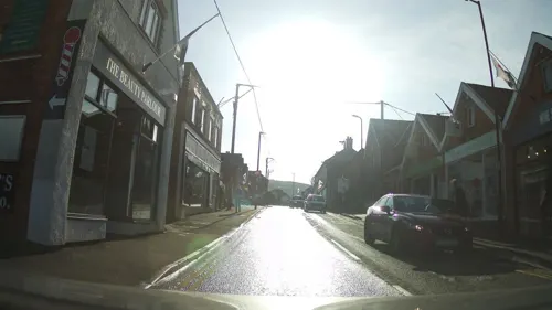
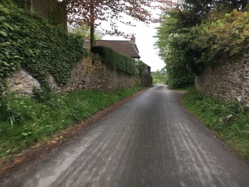

3 more on the map.
Where to stay4


History
Shipham was listed in the Domesday Book of 1086 as Sipeham, meaning 'The sheep home' from the Old English scip and ham. The tenant-in-chief is shown as being Roger de Courcelles.
From the History section of Shipham on Wikipedia, under CC BY-SA 4.0.
More about Shipham
Geography
Shipham Hill is one of the highest points in the Mendips at 1,066 feet (325 m). The village has a panorama over Weston-super-Mare and the Bristol Channel which is mentioned in The Secret Places of the Heart by H. G. Wells: But the loveliness of the weather did not fail, and the whole day was set in Severn landscapes. They first saw the great river like a sea with the Welsh mountains hanging in the sky behind as they came over the Mendip crest above Shipham.
The 36 miles (58 km) Limestone Link Path runs from Shipham to Cold Ashton in Gloucestershire.
The substrata contain rich mineral deposits and so there were zinc and lead mines in the area. The Singing River Mine was worked in the 18th and 19th centuries for calamine (zinc carbonate), blende (zinc sulphide) and galena (lead sulphide).
In the 1920s it was used as an underground reservoir by the water authorities. A small stream flows through the mine in parts. The entrance is actually in the back garden of a private house but access is allowed for potholers. The 5-metre high 19th-century calamine processor is a Grade II listed building.
From the Wikipedia article Shipham, under CC BY-SA 4.0.
Churches and places of worship13
Gas and EV charging1
Schools, colleges and libraries5
Healthcare1
Map of Shipham
48 places. The map loads OpenStreetMap tiles when you open it.
Getting there and nearby towns
Bristol Airport (BRS) is the nearest airport with scheduled flights listed in OpenStreetMap, 6 miles away.
- Blagdon 4 mi east, about 6 min by car
- Yatton 5 mi north, about 8 min by car
- Draycott 5 mi southeast, about 7 min by car
- Wedmore 6 mi south, about 10 min by car
- Weston-super-Mare 8 mi west, about 13 min by car
- Nailsea 8 mi north, about 13 min by car
- Winford 8 mi northeast, about 12 min by car
- Clevedon 9 mi north, about 15 min by car
- Burnham-on-Sea 10 mi southwest, about 16 min by car
- Wells 10 mi southeast, about 16 min by car
Drive times are estimates from straight-line distance, not routes.
Towns near Shipham


Keep exploring
Local news
Headlines from INDB.
Reviews, tips and questions
Loading what members have shared...
Sources and licences
- GeoNames (CC BY 4.0): population, coordinates, regions and time zone
- Mapillary (see each image): photos
- OpenStreetMap contributors (ODbL 1.0): places, airports, map data
- Wikidata (CC0 1.0): elevation, founding date, time zone, website, landmarks and historic places
- Wikimedia Commons (see each image): photos
- Wikipedia (CC BY-SA 4.0): overview and history text
Photo credits
- Shipham, The Mallick Family, CC BY-SA 2.0
- Bay Tree House, Shipham, Dave.Dunford, CC BY-SA 4.0
- Little Manor, Shipham, Dave.Dunford, CC BY-SA 4.0
- Listed chest tomb to Amelia Day in Shipham churchyard, Dave.Dunford, CC BY-SA 4.0
- St Leonard's church Shipham, NotFromUtrecht, CC BY-SA 3.0
- The Manor, Shipham, Dave.Dunford, CC BY-SA 4.0
- Former Shipham Methodist Chapel, Gricharduk, CC BY-SA 4.0
- Gough's Cave, Alladdin's Cave, Rwendland, CC BY-SA 4.0
- Churchill Methodist Church, Gricharduk, CC BY-SA 4.0
- Burrignton church, Rodw at English Wikipedia, Public domain
- Banwellchurch, dbown100, CC BY 3.0
- Cheddarchurch, Dbown100, CC BY 3.0
- Comptonbishopchurch, Rodw at English Wikipedia, Public domain
- St James' Church, Winscombe, Somerset (5519394930), Robert Cutts from Bristol, England, UK, CC BY 2.0
- Church of St. John the Baptist, Churchill, Andrew Riley, CC BY-SA 2.0
- Doleburyhillfort, John Thorn, CC BY-SA 2.0
- Front of Senior School, SidcotSchool, CC BY-SA 3.0
- Winscombe Library, Jwslubbock, CC BY-SA 3.0
- Coxs cave Cheddar Gorge, Throwawayhack, CC BY-SA 3.0
- Street-level photo, southglos, CC BY-SA 4.0
- Street-level photo, southglos, CC BY-SA 4.0
- Street-level photo, southglos, CC BY-SA 4.0
- Street-level photo, southglos, CC BY-SA 4.0
- Street-level photo, southglos, CC BY-SA 4.0
- Street-level photo, southglos, CC BY-SA 4.0
- Street-level photo, southglos, CC BY-SA 4.0
- Street-level photo, southglos, CC BY-SA 4.0
- Street-level photo, southglos, CC BY-SA 4.0
- Street-level photo, southglos, CC BY-SA 4.0
- Street-level photo, southglos, CC BY-SA 4.0
- Street-level photo, southglos, CC BY-SA 4.0
- Street-level photo, southglos, CC BY-SA 4.0
- Street-level photo, southglos, CC BY-SA 4.0
- Street-level photo, southglos, CC BY-SA 4.0
- Street-level photo, laye, CC BY-SA 4.0
- Street-level photo, southglos, CC BY-SA 4.0
- Street-level photo, southglos, CC BY-SA 4.0


Page built November 10, 2026. Spotted a mistake? Tell us or suggest a place.