


Streatham, United Kingdom
Streatham is a town of 58,055 people in England, United Kingdom.
Why visit Streatham
Townapedia lists 34 museums and landmarks, 84 parks and trails, 260 places to eat, 3 places to stay and 15 attractions in and around town.
Highlights include South London Theatre, Streatham Hill Theatre, London Sewing Machine Museum and The Old Library.
Weather in Streatham
Forecast from MET Norway (CC BY 4.0). Full forecast
About Streatham
Streatham is a district in south London in England that lies five miles (eight kilometres) south of Charing Cross. It falls mostly within the London Borough of Lambeth, with some parts extending westward into the neighbouring London Borough of Wandsworth.
From the Wikipedia article Streatham (this version), under CC BY-SA 4.0.
Photos of Streatham


Things to do15

South London Theatre
Cinema and theater · 1.3 mi
Theatre in West Norwood, London
2A Norwood High Street, London

Streatham Hill Theatre
Cinema and theater · 0.8 mi
Former grand theatre, now mostly disused.
110 Streatham Hill, London

Granada, Tooting
Cinema and theater · 1.5 mi
Former theatre and cinema, now bingo hall, in Tooting, Wandsworth, London, England, UK

Grand Theatre
Cinema and theater · 2.9 mi
Music venue and nightclub, a former music hall and cinema in Clapham Junction, Wandsworth, London

Landor Theatre
Cinema and theater · 2.5 mi
Pub Theatre in South London

New Wimbledon Theatre
Cinema and theater · 3.1 mi
Theatre in Wimbledon, Merton, London, England, UK

O2 Academy Brixton
Cinema and theater · 2.6 mi
Music venue in London, a former cinema

Polka Theatre
Cinema and theater · 2.8 mi
Children's theater in Wimbledon, London Borough of Merton, England



Stockwell Playhouse
Cinema and theater · 3.2 mi
Former theatre in Stockwell, Lambeth, London, England
3 more on the map.
Museums and landmarks34
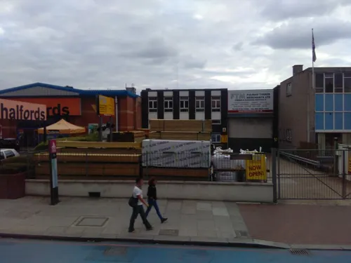
London Sewing Machine Museum
Museum · 1.3 mi
308 Balham High Road, London
Sa[1] 14:00-17:00; Dec-Jan off
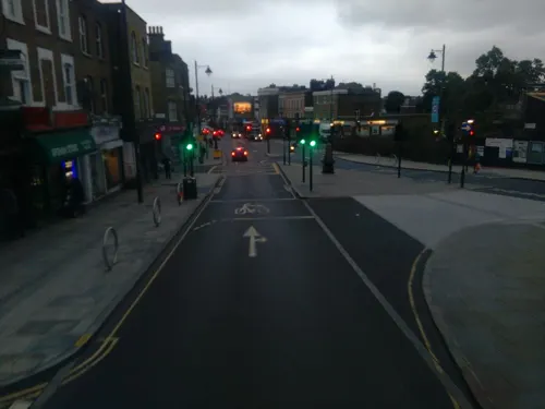
The Old Library
Monument and historic site · 1.2 mi
Large hall, meeting room, equipped recording studio, workspace, lounge, playroom
14-16 Knight's Hill, London

575 Wandsworth Road
Museum · 2.8 mi
Georgian terraced house in London, England

Cherry Groce Memorial Pavilion
Monument and historic site · 2.3 mi
Memorial to Cherry Groce in Brixton, London SW9

Dulwich College War Memorial
Monument and historic site · 2.2 mi
War memorial in London

Dulwich Old College War Memorial
Monument and historic site · 2.3 mi
War memorial in London

Dulwich Outdoor Gallery
Museum · 3.0 mi
Street art collection in London, England

Dulwich Picture Gallery
Museum · 2.3 mi
Art gallery in Dulwich, South London, United Kingdom

Horniman Museum and Gardens
Museum · 3.2 mi
Museum in Forest Hill, London, England, United Kingdom

Gallery Midnight.
Museum · 1.2 mi
12 Ritherdon Road, London
Tu-Th 11:00-18:00; Fr 11:00-00:00; Sa 09:00-17:30

Streatham War Memorial
Monument and historic site · 0.4 mi
War memorial in London
22 more on the map.
Parks, trails and playgrounds84


Norwood Grove
Park · 1.1 mi
Grade II listed urban park in London, England, UK


Betts Park
Park · 3.2 mi
Public park in Penge, London Borough of Bromley, in London, England



72 more on the map.
Restaurants and cafes260
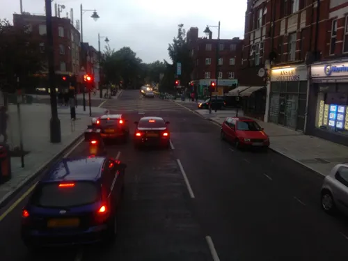
Knowles of Norwood
Bar and pub · 1.3 mi
294-296 Norwood Road, London
Mo-Th 11:00-23:00; Fr, Sa 11:00-00:00; Su 12:00-22:30 || Mo-Sa...
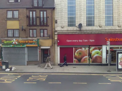
Badger Badger
Bar and pub · Japanese · 1.3 mi
543 Norwood Road, London
Mo-Tu off; We-Th 12:00-23:00; Fr-Sa 12:00-00:00; Su 12:00-22:00
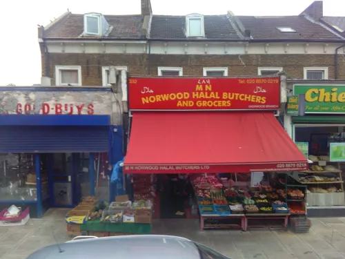
Efes Restaurant
Restaurant · Turkish · 1.3 mi
336 Norwood Road, London
Mo-Sa 12:00-00:00; Su 13:00-00:00
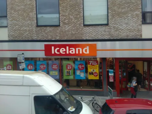
Four Hundred Rabbits
Restaurant · Pizza · 1.3 mi
521 Norwood Road, London
Su-Th 12:00-21:30; Fr,Sa 12:00-22:00
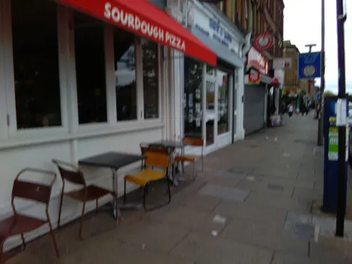
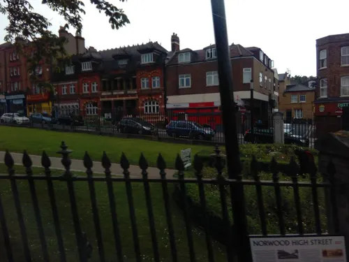
Lal Baag
Restaurant · Indian · 1.2 mi
8 Knight's Hill, London
Mo-Th 12:00-23:00; Fr 16:00-23:00; Sa-Su 12:00-23:00


Cut The Mustard
Cafe · Coffee Shop · 1.3 mi
180 Franciscan Road, London
Mo-Sa 08:00-16:00; Su 09:00-15:00
Rosmarino Restaurant
Restaurant · Italian · 1.3 mi
23 Trinity Road, London
Tu-Sa 12:00-15:00,17:30-22:30; Su 12:00-15:30,17:30-22:00
248 more on the map.
History
Streatham means "the hamlet on the street". The street in question, the London to Brighton Way, was the Roman road from the capital Londinium to the south coast near Portslade, today within Brighton and Hove. It is likely that the destination was a Roman port now lost to coastal erosion, which has been tentatively identified with 'Novus Portus' mentioned in Ptolemy's Geographia. The road is confusingly referred to as Stane Street (Stone Street) in some sources and diverges from the main London-Chichester road at Kennington.
Streatham's first parish church, St Leonard's, was founded in Saxon times but an early Tudor tower is the only remaining structure pre-dating 1831 when the body of the church was rebuilt. The medieval parish covered a wider area including Balham and Tooting Bec. The southern portion of what is now Streatham formed part of Tooting Graveney ancient parish.
A charter states that in the late seventh century, land in Streatham and Tooting Graveney was granted by Erkenwald and Frithwald to Chertsey Abbey, a grant which was later confirmed in the time of Athelstan in 933.
Read more of the history
Streatham appears in the Domesday Book of 1086 as Estreham. It was held by Bec-Hellouin Abbey (in Normandy) from Richard de Tonbrige. Its Domesday assets were: 2 hides, 1 virgate and 6+1⁄2 ploughlands of cultivated land and 4 acres (1.6 ha) of meadow and herbage (mixed grass and bracken). Annually it was assessed to render £4 5s 0d to its overlords.
After the departure of the Romans, the main road through Streatham remained an important trackway. From the 17th century it was adopted as the main coach road to Croydon and East Grinstead, and then on to Newhaven and Lewes. In 1780 it then became the route of the turnpike road from London to Brighton, and subsequently became the basis for the modern A23. This road (and its traffic) have shaped Streatham's development.
The village remained largely unchanged until the 18th century, when its natural springs, known as Streatham Wells, were first celebrated for their health-giving properties. The reputation of the spa, and improved turnpike roads, attracted wealthy City of London merchants and others to build their country residences in Streatham.
In spite of London's expansion, a limited number of developments took place in the village in the second half of the nineteenth century, Streatham Vale sprung up to the South later still and the small parade of shops by Streatham Common Station has become known colloquially as Streatham Village.
Wellfield Road, which had previously been known as Leigham Lane, was renamed to reflect its role as the main route from the centre of Streatham to one of the well locations. Another mineral well was located on the south side of Streatham Common, in an area that now forms part of The Rookery, where it can still be seen and visited within the formal gardens.
In the 1730s, Streatham Park, a Georgian country mansion, was built by the brewer Ralph Thrale on land he bought from the Lord of the manor – the fourth Duke of Bedford. Streatham Park later passed to Ralph's son Henry Thrale, who with his wife Hester Thrale entertained many of the leading literary and artistic characters of the day, most notably the lexicographer Samuel Johnson. The dining room contained 12 portraits of Henry's guests painted by his friend Joshua Reynolds. These pictures were wittily labelled by Fanny Burney as the Streatham Worthies.
Streatham Park was later leased to Prime Minister Lord Shelburne, and was the venue for early negotiations with France that led to the Peace Treaty of 1783. Streatham Park was demolished in 1863.
One large house that survives is Park Hill, on the north side of Streatham Common, rebuilt in the early 19th century for the silk merchant, William Leaf. His architect was John Buonarotti Papworth. It was later the home of Sir Henry Tate, sugar refiner, benefactor of local libraries across south London, including Streatham Library, and founder of the Tate Gallery at Millbank. Tate engaged Robert Marnock to re-model the grounds, which were listed at Grade II on the Register of Historic Parks and Gardens of Special Historic Interest in England in 1987. The house later became a convent, St Michael's.
Development accelerated after the opening of Streatham Hill railway station on the West End of London and Crystal Palace Railway in 1856. The other two railway stations followed within fifteen years.
Some estates, such as Telford Park to the west of Streatham Hill, were spaciously planned with facilities like tennis clubs. Despite the local connections to the Dukes of Bedford, there is no link to the contemporary Bedford Park in west London. Another generously sized development was Roupell Park, the area near Christchurch Road promoted by the Roupell family. Other streets adopted more conventional suburban layouts.
Three more parish churches were built to serve the growing area, including Immanuel and St Andrew's (1854), St Peter's (1870) and St Margaret the Queen's (1889).
At the end of the 19th Century the heart of the old heart of the village of Streatham was sweepingly remodelled to the architectural designs of the young local architect Frederick Wheeler FRIBA, creating the streetscape which remains to this day.
Between 1884 and 1891 a comprehensive scheme of four-storey, Queen Anne Revival style shop houses was designed by Wheeler and built by the local firm Hill Brothers. Running down from the High Road as it diverges south from Mitcham Lane and past Streatham Green the parade continues, almost unbroken, to the entrance of Streatham Station. The scheme meets, visually, at the bottom of the steep hill and cross-roads known locally as 'The Dip' in a pair of matched developments named The Broadway and The Triangle on what is now Gleneagle Road. South of this junction the development continues with Wheeler's Queens Parade terrace of 1885 rising up towards the railway bridge and Streatham Station.
From the History section of Streatham on Wikipedia, under CC BY-SA 4.0.
Notable people from Streatham
 Peter DavisonEnglish actorPhoto: JaceMerlyn, CC BY-SA 4.0
 Simon CallowBritish actorPhoto: Ash, CC BY-SA 3.0
 June WhitfieldEnglish actress (1925–2018)Photo: Slapstick Festival, CC BY 2.0
 Evelyn ColyerBritish tennis player (1902–1930)Photo: Agence Rol, Public domain
 Amma AsanteBritish actor and film director (born 1969)Photo: Sarran Hamilton, CC BY-SA 4.0
 John Russell, 4th Duke of BedfordBritish politician (1710-1771)Photo: Thomas Gainsborough, Public domain
 Otto NiemeyerBritish bankerPhoto: Unknown author, No restrictions
 Andy SandhamCricket player of England. (1890-1982)Photo: William G Evans, CC BY-SA 4.0
 Georges Montefiore-Leviinventor (1832–1906)Photo: Jean Housen, CC BY 3.0
- Graham SutherlandEnglish artist (1903–1980)
- Arnold BaxEnglish composer, poet, and author (1883–1953)
- Rachel Hurd-WoodBritish actress and model
Born in Streatham, according to Wikidata (CC0). Each name links to its Wikipedia article.
Where to stay3
Churches and places of worship84
Shopping74
Gas and EV charging9
Schools, colleges and libraries64
Bishop Thomas Grant Catholic Secondary School
School · Roman Catholic · 0.6 mi
Belltrees Grove, London
Christ Church, Streatham Church of England Primary School
School · Anglican · 1.2 mi
Cotherstone Road, London
Immanuel and St Andrew Church of England Primary School
School · Anglican · 0.7 mi
Northanger Road, London
Healthcare25
Map of Streatham
250 places. The map loads OpenStreetMap tiles when you open it.
Getting there and nearby towns
London City Airport (LCY) is the nearest airport with scheduled flights listed in OpenStreetMap, 9 miles away.
- Balham 2 mi northwest, about 3 min by car
- Brixton Hill 2 mi north, about 3 min by car
- Crystal Palace 2 mi east, about 4 min by car
- Earlsfield 3 mi northwest, about 4 min by car
- Thornton Heath 3 mi southeast, about 4 min by car
- Wimbledon Park 3 mi west, about 5 min by car
- Croydon 3 mi southeast, about 6 min by car
- Crofton Park 4 mi east, about 7 min by car
- City of Westminster 5 mi north, about 8 min by car
- London 6 mi north, about 9 min by car
Drive times are estimates from straight-line distance, not routes.
Towns near Streatham


Keep exploring
Local news
Headlines from INDB.
Reviews, tips and questions
Loading what members have shared...
Sources and licences
- GeoNames (CC BY 4.0): population, coordinates, regions and time zone
- Mapillary (see each image): photos
- OpenStreetMap contributors (ODbL 1.0): places, airports, map data
- Wikidata (CC0 1.0): elevation, founding date, time zone, website, landmarks and historic places
- Wikimedia Commons (see each image): photos
- Wikipedia (CC BY-SA 4.0): overview and history text
Photo credits
- St Leonard's Church, Streatham (5990092166), Robert Cutts from Bristol, England, UK, CC BY 2.0
- St Leonard's Church, Streatham (5989532341), Robert Cutts from Bristol, England, UK, CC BY 2.0
- Streatham - church at Streatham High Road & Mitcham Lane junction - panoramio, Jeff Warder, CC BY-SA 3.0
- Streatham High Road (9178532104), Reading Tom from Reading, UK, CC BY 2.0
- Streatham High Road (9176315989), Reading Tom from Reading, UK, CC BY 2.0
- Former Streatham Fire Station (9176316779), Reading Tom from Reading, UK, CC BY 2.0
- St Leonard's Church, Streatham, London - North east chapel window, Ojwelch, CC BY-SA 4.0
- St Leonard's Church, Streatham, London - east chancel window, Ojwelch, CC BY-SA 4.0
- St Leonard's Church, Streatham, London - Lady chapel window, Ojwelch, CC BY-SA 4.0
- St Leonard's Church, Streatham, London - narthex window, Ojwelch, CC BY-SA 4.0
- South London Theatre 118125, RHaworth, CC BY-SA 2.0
- Gala Bingo, Tooting, SW17, Ewan Munro, CC BY-SA 2.0
- Grand Theatre, Clapham 01, Edwardx, CC BY-SA 3.0
- Landor, Stockwell, SW9 (11172041843), Ewan Munro from London, UK, CC BY-SA 2.0
- New Wimbledon Theatre (6856272185), Images George Rex from London, England, CC BY-SA 2.0
- Brixton Academy, Brixton, SW9 (3380443064), Ewan Munro from London, UK, CC BY-SA 2.0
- Polka Theatre, PolkaDawn, Public domain
- Theatre 503, Mx. Granger, CC0
- Entrance to 575 Wandsworth Road, JRennocks, CC BY-SA 4.0
- At Brixton 2026 03, Photograph by Mike Peel ( www.mikepeel.net )., CC BY-SA 4.0
- Dulwich College War Memorial, 2018, No Swan So Fine, CC BY-SA 4.0
- The Dulwich Estate - DSC05986, Rept0n1x, CC BY-SA 3.0
- Horniman Museum tower, 2015, No Swan So Fine, CC BY-SA 4.0
- Streatham Common in 2005, Noel Foster, CC BY-SA 2.0
- The White House at Norwood Grove in September 2019, Eagleash, CC BY-SA 4.0
- Betts, Matt-rex, Public domain
- BrockwellParkHut, Richard Irons, CC BY-SA 3.0
- Centre for Wildlife Gardening, JoshuaAnthonyGill, CC BY-SA 4.0
- Church of St Barnabas, Mitcham - 1, Euphorbia7, CC BY-SA 4.0
- Saint Mary & Saint John The Divine (view from street entrance), KyotoWatanabe, CC BY-SA 4.0
- Former Playhouse Theatre (9176302961), Reading Tom from Reading, UK, CC BY 2.0
- Tooting library (28300554854), Libraries Taskforce, CC BY 2.0
- Bennett's Hole and River Wandle 4, Dudley Miles, CC BY-SA 3.0
- 'Fight Club' by Conor Harrington based on 'Massacre of the Innocents' by Charles Le Brun in Dulwich Picture Gallery, Peter Faulkner, CC0
- English Martyrs Catholic Church, Chick Ensemble, CC BY-SA 4.0
- Church of the English Martyrs (9178533044), Reading Tom from Reading, UK, CC BY 2.0
- St Leonard's (9178532992), Reading Tom from Reading, UK, CC BY 2.0
- Dulwich Picture Gallery, June 2018 (3), No Swan So Fine, CC BY-SA 4.0
- Street-level photo, ris, CC BY-SA 4.0
- Street-level photo, ris, CC BY-SA 4.0
- Street-level photo, ris, CC BY-SA 4.0
- Street-level photo, ris, CC BY-SA 4.0
- Street-level photo, ris, CC BY-SA 4.0
- Street-level photo, ris, CC BY-SA 4.0
- Street-level photo, ris, CC BY-SA 4.0
- Street-level photo, ris, CC BY-SA 4.0
- Street-level photo, ris, CC BY-SA 4.0
- Street-level photo, ris, CC BY-SA 4.0
- Street-level photo, ris, CC BY-SA 4.0
- Street-level photo, ris, CC BY-SA 4.0
- Street-level photo, ris, CC BY-SA 4.0
- Street-level photo, ris, CC BY-SA 4.0
- Street-level photo, ris, CC BY-SA 4.0
- Street-level photo, ris, CC BY-SA 4.0
- Street-level photo, ris, CC BY-SA 4.0
- Street-level photo, IpswichEdits, CC BY-SA 4.0
- Street-level photo, tomchance, CC BY-SA 4.0
- Street-level photo, ris, CC BY-SA 4.0
- Street-level photo, ldonetc, CC BY-SA 4.0
- Street-level photo, ris, CC BY-SA 4.0
- Street-level photo, ris, CC BY-SA 4.0


Page built November 10, 2026. Spotted a mistake? Tell us or suggest a place.