

Tenbury Wells, United Kingdom
Tenbury Wells is a town of 3,849 people in England, United Kingdom.
Why visit Tenbury Wells
Townapedia lists 4 museums and landmarks, 3 parks and trails, 22 places to eat, 1 place to stay and 1 attraction in and around town.
Highlights include Tenbury Museum, Tenbury Wells Museum and Burford House & Gardens.
Weather in Tenbury Wells
Forecast from MET Norway (CC BY 4.0). Full forecast
About Tenbury Wells
Tenbury Wells (locally Tenbury) is a market town and civil parish in the north-western extremity of the Malvern Hills District of Worcestershire, England. Situated 6 miles southeast of Ludlow, its northern border adjoins Shropshire and, at the 2021 census jointly with Burford, it had a population of 5,224.
From the Wikipedia article Tenbury Wells (this version), under CC BY-SA 4.0.
Things to do1

Museums and landmarks4


Parks, trails and playgrounds3

Restaurants and cafes22
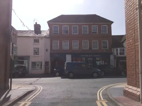
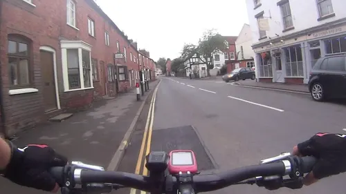
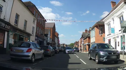
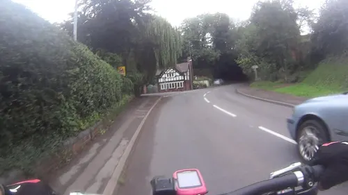
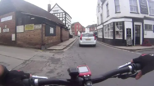
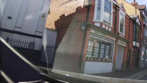
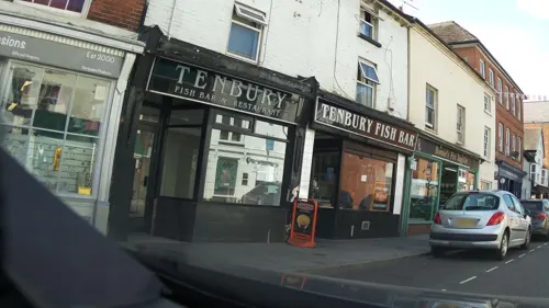


10 more on the map.
History
The history of Tenbury Wells extends as far back as the Iron Age. The town has been described as being the home of the Castle Tump, but the Tump is now in Burford owing to boundary changes. The Tump, possibly the remains of an early Norman motte and bailey castle, can be seen from the main road (A456) but there are no visible remains of the castle that was constructed to defend and control the original River Teme crossing. It has also been described as "... the remains of an 11th-century Norman Castle."
Originally named Temettebury, the town was granted a royal charter to hold a market in 1249. Over time, the name changed to Tenbury. A legal record of 1399 mentions a place spelt perhaps as Temedebury, which may be a further variation in spelling. Tenbury was in the upper division of Doddingtree Hundred.
The Wells element of the name was added following the discovery of mineral springs and wells in the town in the 1840s.
The arrival of the railways was a cause of great celebrations; a breakfast, carnival and ball were organised in Tenbury Wells in 1864 when the town was connected to the Kidderminster line. The name of the railway station, on the former Tenbury & Bewdley Railway, was changed to Tenbury Wells in 1912, in an attempt to publicise the mineral water being produced from the wells around the town.
Read more of the history
The St Michael and All Angels Choir School devoted to the Anglican choral tradition by Frederick Ouseley closed in 1985, after which the buildings served alternative educational purposes.
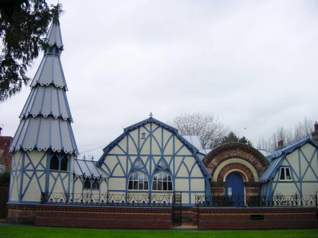
For more than 100 years, Tenbury has been well known throughout the country for its winter auctions of holly, mistletoe and other Christmas products. It is also known for its Chinese-gothic Pump Room buildings, built in 1862, which reopened in 2001 following a major restoration. They are now owned by Tenbury Town Council, having been transferred from Malvern Hills District Council in September 2008.
Kyrewood Priory was a small priory which was founded in the 13th century. It was a monastic house of Augustinian canonesses, dedicated to St. Mary Magdalene.
Little is known about the history of Kyrewood Priory, as few records have survived from its time in operation. It is believed to have been founded sometime around the year 1238, likely by the noblewoman Margery de Sapy, who had a manor in the area. The priory was relatively small, with a community of only a few nuns, and it appears to have been financially supported by local landowners.
Despite its small size, Kyrewood Priory was known for its piety and good works in the local community; it attracted several donations of land and money over the years. However, by the time of the Dissolution of the Monasteries under King Henry VIII in the 16th century, the priory was in a state of decline and disrepair. In 1536, Kyrewood Priory was dissolved and its lands and buildings were sold off to a local landowner. Today, little remains of the priory except for a few fragments of stonework; the site is privately owned and not open to the public.
From the History section of Tenbury Wells on Wikipedia, under CC BY-SA 4.0.
More about Tenbury Wells
Geography
Tenbury Wells lies on the south bank of the River Teme; the river forms the border between Shropshire and Worcestershire. The settlement of Burford lies on the north bank of the river.
For several centuries, Tenbury has been subject to flooding. In the past floods occurred about once a decade, but flooding became almost annual by 2020; the most recent floods as of December 2025 occurred in 2019, 2020, 2023 and 2024.
In 2007 the town flooded when the River Teme and the Kyre Brook burst their banks.
In 2008 a combination of 15mm (0.59 in) of rain falling in an hour and the town's drainage system (much of which was blocked) failing to cope created flash flooding. Flood damage was caused by a combination of the drainage not having been upgraded since the 2007 floods and the wall on Market Street (which should hold back the Kyre Brook) not having been rebuilt following the 2007 floods. Since then drainage was improved and defences were fitted in Market Street.
In 2020 the River Teme and the Kyre Brook again burst their banks.
Storm Bert caused flooding in November 2024, when the town centre flooded in the matter of minutes after the nearby Kyre Brook rose and caused a wall to collapse.
Education
For primary education, the town is served by Tenbury CofE Primary School on Bromyard Road.
Tenbury High Ormiston Academy on Oldwood Road is the main secondary school for the area. The King's St Michael's College, a private international boarding school, closed in 2020.
From the Wikipedia article Tenbury Wells, under CC BY-SA 4.0.
Notable people from Tenbury Wells
- Jason KingBritish DJ
- Joshua DellBritish cricketer (born 1997)
Born in Tenbury Wells, according to Wikidata (CC0). Each name links to its Wikipedia article.
Where to stay1
Churches and places of worship7
Shopping1
Gas and EV charging1
Schools, colleges and libraries4
Healthcare2
Map of Tenbury Wells
46 places. The map loads OpenStreetMap tiles when you open it.
Getting there and nearby towns
Gloucestershire Airport (GLO) is the nearest airport with scheduled flights listed in OpenStreetMap, 34 miles away.
- Ludlow 7 mi northwest, about 11 min by car
- Cleobury Mortimer 7 mi northeast, about 11 min by car
- Leominster 9 mi southwest, about 14 min by car
- Stourport-on-Severn 13 mi east, about 22 min by car
- Highley 13 mi northeast, about 21 min by car
- Craven Arms 14 mi northwest, about 22 min by car
- Alveley 14 mi northeast, about 23 min by car
- Kidderminster 16 mi east, about 25 min by car
- Worcester 18 mi southeast, about 29 min by car
- Hereford 18 mi south, about 29 min by car
Drive times are estimates from straight-line distance, not routes.
Towns near Tenbury Wells


Keep exploring
Local news
Headlines from INDB.
Reviews, tips and questions
Loading what members have shared...
Sources and licences
- GeoNames (CC BY 4.0): population, coordinates, regions and time zone
- Mapillary (see each image): photos
- OpenStreetMap contributors (ODbL 1.0): places, airports, map data
- Wikidata (CC0 1.0): elevation, founding date, time zone, website, landmarks and historic places
- Wikimedia Commons (see each image): photos
- Wikipedia (CC BY-SA 4.0): overview and history text
Photo credits
- The Pump Rooms, Tenbury Wells, Penny Mayes, CC BY-SA 2.0
- Burford House, Jonathan Billinger, CC BY-SA 2.0
- Street-level photo, daveemtb, CC BY-SA 4.0
- Street-level photo, daveemtb, CC BY-SA 4.0
- Street-level photo, daveemtb, CC BY-SA 4.0
- Street-level photo, daveemtb, CC BY-SA 4.0
- Street-level photo, daveemtb, CC BY-SA 4.0
- Street-level photo, southglos, CC BY-SA 4.0
- Street-level photo, southglos, CC BY-SA 4.0
- Street-level photo, southglos, CC BY-SA 4.0
- Street-level photo, daveemtb, CC BY-SA 4.0
- Street-level photo, daveemtb, CC BY-SA 4.0
- Street-level photo, southglos, CC BY-SA 4.0
- Street-level photo, southglos, CC BY-SA 4.0
- Street-level photo, daveemtb, CC BY-SA 4.0
- Street-level photo, daveemtb, CC BY-SA 4.0
- Street-level photo, southglos, CC BY-SA 4.0
- Street-level photo, southglos, CC BY-SA 4.0
- Street-level photo, southglos, CC BY-SA 4.0
- Street-level photo, southglos, CC BY-SA 4.0
- Street-level photo, southglos, CC BY-SA 4.0
- Street-level photo, southglos, CC BY-SA 4.0
- Street-level photo, daveemtb, CC BY-SA 4.0
Page built November 10, 2026. Spotted a mistake? Tell us or suggest a place.