


Tideswell, United Kingdom
Tideswell is a town of 1,647 people in England, United Kingdom.
Why visit Tideswell
Townapedia lists 3 museums and landmarks, 2 parks and trails, 13 places to eat, 4 places to stay and 1 attraction in and around town.
Highlights include Fin Cop and High Rake Mine.
Weather in Tideswell
Forecast from MET Norway (CC BY 4.0). Full forecast
About Tideswell
Tideswell is a village, civil parish, and ward in the Derbyshire Dales district of Derbyshire, England, within the Peak District National Park. It lies 6 miles (9.7 km) east of Buxton, in a wide valley on a limestone plateau, at an altitude of 1,000 feet (300 m) above sea level. At the 2021 census, the population of the parish was 1,712, making it the third-largest settlement within the National Park, after Bakewell and Hathersage.
From the Wikipedia article Tideswell (this version), under CC BY-SA 4.0.
Things to do1

Museums and landmarks3

Fin Cop
Monument and historic site · 3.3 mi
Mountain in the United Kingdom


Parks, trails and playgrounds2

Restaurants and cafes13
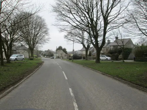
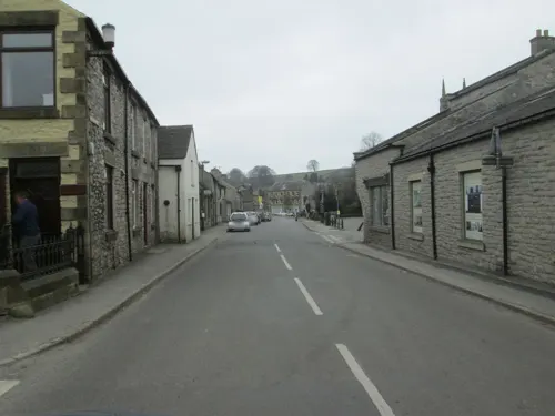
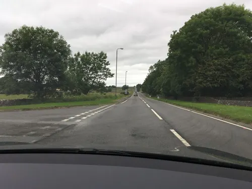
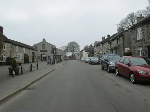
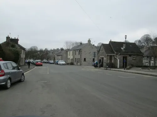
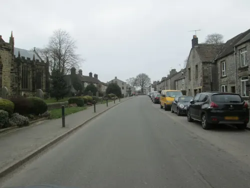
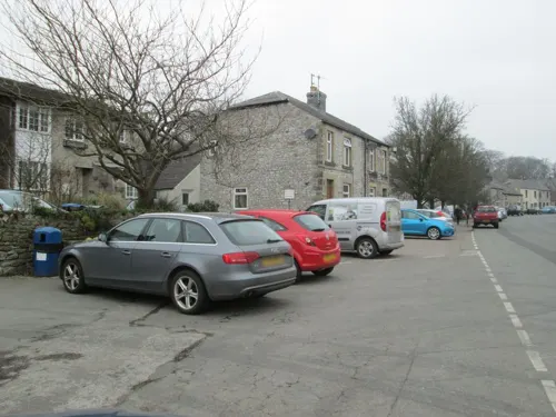
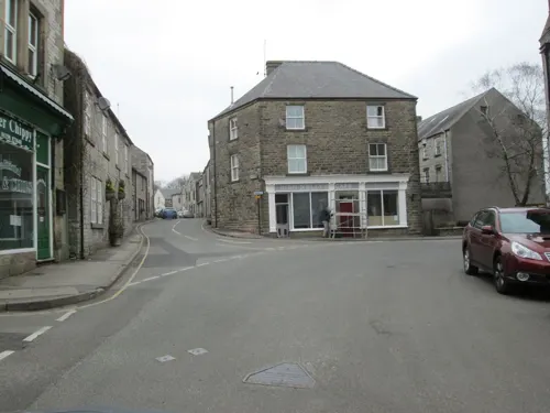
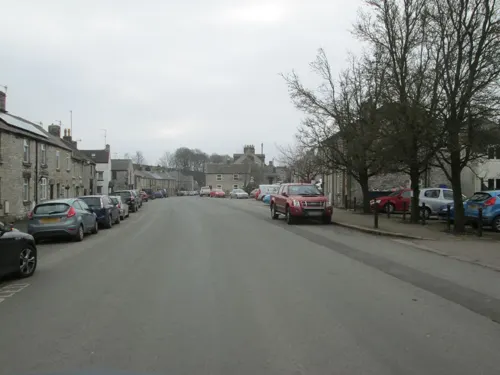
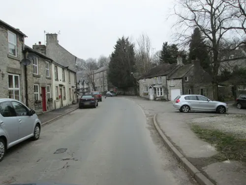
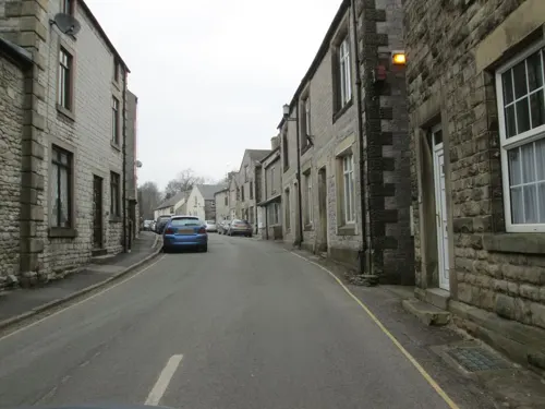

1 more on the map.
History
In the Middle Ages, Tideswell was a market town known for lead mining. The Tideswell lead miners were renowned for their strength and were much prized by the military authorities. The Domesday Book of 1086 lists TIDESUUELLE as the King's land in the charge of William Peverel with fewer than five households.
Tideswell is now best known for its 14th-century parish church, the Church of St John the Baptist, known as the "Cathedral of the Peak", which contains three 15th-century misericords.
A sundial lies in the churchyard; it is positioned on steps which local historian Neville T. Sharpe thinks likely to be those of the village's market cross. A market and two-day fair were granted to the village in 1251. The Foljambe family, later the Foljambe baronets, were the principal landowners from the fourteenth to the eighteenth centuries.
The population was recorded as 1,777 inhabitants in the 1841 census. At that time, the free grammar school educated about 70 boys.
The town has a week-long festival near the summer solstice known as the Wakes, culminating in "Big Saturday", which includes a torchlight procession through the streets, led by a brass band playing a unique tune called the Tideswell Processional, and townsfolk dancing a traditional weaving dance.
Read more of the history
Markeygate House on Bank Square is thought to be the oldest dwelling in Tideswell, built in 1432. It is an English Heritage Grade II listed building that has undergone significant remodelling over time, having served as an ale house and family butcher.
In May 2009, Tideswell won a £400,000 grant from the Big Lottery Fund's Village SOS programme. In a bid to help keep its village shops open and thriving—over 20 shops had closed in the preceding decade—Taste Tideswell was created, to reconnect local people with their food and make Tideswell famous as a food destination. On 6 December 2010 the Tideswell School of Food opened, running full-priced cookery and brewing courses as well as subsidised community courses. The School of Food was intended to be the financial engine for the project that would help to develop work in the community. It closed during 2014 because of cashflow issues.
Tideswell Made is a quality mark that local food producers, retailers, public houses and holiday accommodation can buy into. Ensuring products are sourced as locally as possible and made locally, Tideswell Made is marketed by Taste Tideswell and helps local business get wider recognition for their locally made produce. Taste Tideswell has an education service, visiting schools with a variety of food- and growing-related activities. School groups also visit the School of Food for practical hands-on activities.
Behind the Parish Church, a small community garden has been developed to provide a training ground for those wanting to learn more about growing. There is also a small commercial kitchen available for hire by local food producers, particularly those who are looking to make the step up from home-based production. In May 2011, the first Tideswell Food Festival was held, attracting over 2,000 people, despite poor weather.
On 7 September 2011, the Taste Tideswell story was broadcast as part of the Village SOS series on BBC One. It showed the rapid development of the project, along with the individual story of Tim Nicol, the 'Village Champion' who moved to live in Tideswell for a year and helped the volunteer directors get Taste Tideswell established. As of August 2011, Taste Tideswell employed eight members of staff, most of whom lived in the village, and had ten visiting chef/tutors on its books. Although the School of Food had to close, Tideswell's annual Food Festival has continued to be a success each year.
From the History section of Tideswell on Wikipedia, under CC BY-SA 4.0.
Notable people from Tideswell
- Nigel AyersEnglish multimedia artist
Born in Tideswell, according to Wikidata (CC0). Each name links to its Wikipedia article.
Where to stay4
Churches and places of worship8
Shopping2
Schools, colleges and libraries2
Healthcare1
Map of Tideswell
36 places. The map loads OpenStreetMap tiles when you open it.
Getting there and nearby towns
Manchester Airport (MAN) is the nearest airport with scheduled flights listed in OpenStreetMap, 22 miles away.
- Buxton 6 mi west, about 9 min by car
- High Peak 7 mi northwest, about 11 min by car
- Youlgreave 8 mi southeast, about 13 min by car
- Fulwood 10 mi northeast, about 17 min by car
- New Mills 11 mi northwest, about 18 min by car
- Dronfield 12 mi east, about 20 min by car
- Matlock 13 mi southeast, about 21 min by car
- Glossop 14 mi northwest, about 22 min by car
- Sheffield 15 mi northeast, about 23 min by car
- Chesterfield 15 mi east, about 24 min by car
Drive times are estimates from straight-line distance, not routes.
Towns near Tideswell


Keep exploring
Local news
Headlines from INDB.
Reviews, tips and questions
Loading what members have shared...
Sources and licences
- GeoNames (CC BY 4.0): population, coordinates, regions and time zone
- Mapillary (see each image): photos
- OpenStreetMap contributors (ODbL 1.0): places, airports, map data
- Wikidata (CC0 1.0): elevation, founding date, time zone, website, landmarks and historic places
- Wikimedia Commons (see each image): photos
- Wikipedia (CC BY-SA 4.0): overview and history text
Photo credits
- Fin Cop Jonathan Clitheroe, Jonathan Clitheroe, CC BY-SA 2.0
- Peter’s Stone, Cressbrook Dale, Jayartee, CC BY-SA 4.0
- Tides Low, Dave.Dunford, CC BY-SA 4.0
- Street-level photo, dudone, CC BY-SA 4.0
- Street-level photo, dudone, CC BY-SA 4.0
- Street-level photo, dudone, CC BY-SA 4.0
- Street-level photo, dudone, CC BY-SA 4.0
- Street-level photo, dudone, CC BY-SA 4.0
- Street-level photo, dudone, CC BY-SA 4.0
- Street-level photo, dudone, CC BY-SA 4.0
- Street-level photo, julianlb, CC BY-SA 4.0
- Street-level photo, dudone, CC BY-SA 4.0
- Street-level photo, dudone, CC BY-SA 4.0
- Street-level photo, dudone, CC BY-SA 4.0
- Street-level photo, dudone, CC BY-SA 4.0
- Street-level photo, dudone, CC BY-SA 4.0
- Street-level photo, dudone, CC BY-SA 4.0
- Street-level photo, dudone, CC BY-SA 4.0
- Street-level photo, dudone, CC BY-SA 4.0
- Street-level photo, dudone, CC BY-SA 4.0
Page built November 10, 2026. Spotted a mistake? Tell us or suggest a place.