


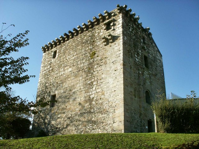


Waterfoot, United Kingdom
Waterfoot is a town of 1,260 people in Scotland, United Kingdom.
Why visit Waterfoot
Townapedia lists 14 museums and landmarks, 27 parks and trails, 26 places to eat, 1 place to stay and 3 attractions in and around town.
Highlights include National Museum of Rural Life, Mearns Castle, Linn Park and Rouken Glen.
Weather in Waterfoot
Forecast from MET Norway (CC BY 4.0). Full forecast
About Waterfoot
Waterfoot (Scots: Watterfit) is a hamlet in East Renfrewshire, Scotland. It is on the B767 road between Clarkston and Eaglesham, which are 1 mile (1.6 km) to the north and south respectively, while Newton Mearns is about 2 miles (3 km) to the west and East Kilbride about 5 miles (8 km) to the southeast. The hamlet shares a community council with the neighbouring community of Eaglesham, the Eaglesham and Waterfoot Community Council meets in Eaglesham on a monthly basis.
From the Wikipedia article Waterfoot, East Renfrewshire (this version), under CC BY-SA 4.0.
Things to do3
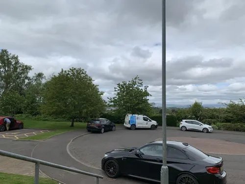
Aidans Brae Viewpoint
Scenic view · 1.3 mi
Viewing point across the outer Clyde Valley


Museums and landmarks14
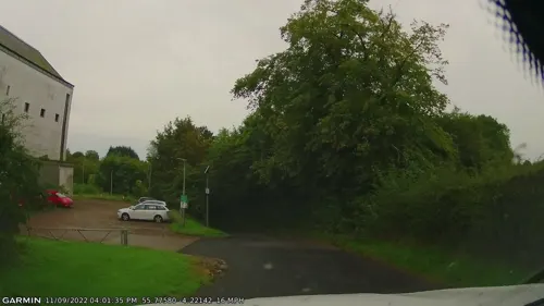
National Museum of Rural Life
Museum · 2.5 mi
National museum in South Lanarkshire, Scotland, UK

Mearns Castle
Monument and historic site · 1.0 mi
Waterfoot Road, Glasgow

Greenbank Garden
Museum · 1.0 mi
An urban oasis with woodland walks and beautiful plants in all seasons.

Lieutenant A S Gilmour and Brigadier General D J Glasfurd Memorial
Monument and historic site · 1.0 mi
2 more on the map.
Parks, trails and playgrounds27


Rouken Glen
Park · 2.2 mi
Park in Giffnock, East Renfrewshire, Scotland, UK


Dams to Darnley Country Park
Park · 3.3 mi
Country park to the south-west of Glasgow, Scotland, UK
Overlee Playing Fields
Park · 1.4 mi
Public park in East Renfrewshire, Scotland, UK
Peel Park
Park · 2.2 mi
Business park in East Kilbride, South Lanarkshire, Scotland, UK

15 more on the map.
Restaurants and cafes26
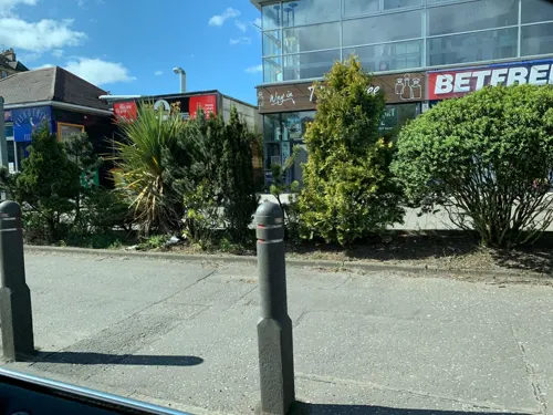
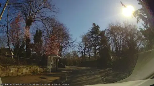
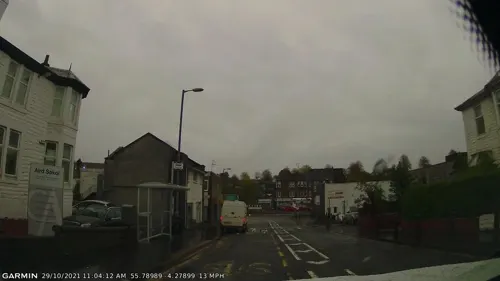



Monteiths
Bar and pub · 1.5 mi
Gastropub. Located on the site of the old tollhouse bar.
1 - 3 Helena Place, Glasgow
14 more on the map.
Notable people from Waterfoot
- Winifred DrinkwaterScottish aviator and aeroplane engineer. First woman in the world to hold a commercial pilot's licence
Born in Waterfoot, according to Wikidata (CC0). Each name links to its Wikipedia article.
Where to stay1
Churches and places of worship10
Williamwood Parish Church
Church · Protestant · 1.4 mi
4 Vardar Avenue, Clarkston
Cathcart South Church, 90-92 Clarkston Road, Glasgow
Church · 3.3 mi
Broom Parish Church
Church · Church Of Scotland · 1.1 mi
1 Broom Road East, Newton Mearns
Shopping6
Gas and EV charging2
Schools, colleges and libraries12
St Joseph's Primary School
School · Roman Catholic · 0.8 mi
Oliphant Crescent, Glasgow
Healthcare3
Map of Waterfoot
104 places. The map loads OpenStreetMap tiles when you open it.
Getting there and nearby towns
Glasgow Airport (GLA) is the nearest airport with scheduled flights listed in OpenStreetMap, 9 miles away.
- Newton Mearns 2 mi west, about 3 min by car
- Giffnock 2 mi north, about 4 min by car
- Carmunnock 2 mi northeast, about 4 min by car
- East Kilbride 4 mi east, about 7 min by car
- Barrhead 5 mi northwest, about 8 min by car
- Rutherglen 5 mi northeast, about 8 min by car
- Cambuslang 6 mi northeast, about 9 min by car
- Glasgow 7 mi north, about 11 min by car
- Paisley 7 mi northwest, about 12 min by car
- Blantyre 8 mi east, about 12 min by car
Drive times are estimates from straight-line distance, not routes.
Towns near Waterfoot


Keep exploring
Local news
Headlines from INDB.
Reviews, tips and questions
Loading what members have shared...
Sources and licences
- GeoNames (CC BY 4.0): population, coordinates, regions and time zone
- Mapillary (see each image): photos
- OpenStreetMap contributors (ODbL 1.0): places, airports, map data
- Wikidata (CC0 1.0): elevation, founding date, time zone, website, landmarks and historic places
- Wikimedia Commons (see each image): photos
- Wikipedia (CC BY-SA 4.0): overview and history text
Photo credits
- Linnpark fromcastle, Zeddy ( talk ), Public domain
- Rouken Glen waterfall, May 2012, Thrissel, CC BY-SA 3.0
- Church Interior, Alanmathew1978, Public domain
- Mearns Castle, wrobison, CC BY-SA 2.0
- Greenbank Garden2, Stevouk at English Wikipedia, Public domain
- GreenbankGardensHouse2008, GeorgeRob ( talk ), Public domain
- Greenbank Garden, Clarkston 2, LornaMCampbell, CC BY-SA 4.0
- Street-level photo, gmc, CC BY-SA 4.0
- Street-level photo, gmc, CC BY-SA 4.0
- Street-level photo, gmc, CC BY-SA 4.0
- Street-level photo, gmc, CC BY-SA 4.0
- Street-level photo, gmc, CC BY-SA 4.0
- Street-level photo, gmc, CC BY-SA 4.0
- Street-level photo, gmc, CC BY-SA 4.0
- Street-level photo, gmc, CC BY-SA 4.0
- Street-level photo, gmc, CC BY-SA 4.0
- Street-level photo, gmc, CC BY-SA 4.0
- Street-level photo, gmc, CC BY-SA 4.0
- Street-level photo, gmc, CC BY-SA 4.0
- Street-level photo, gmc, CC BY-SA 4.0
- Street-level photo, gmc, CC BY-SA 4.0
- Street-level photo, gmc, CC BY-SA 4.0
- Street-level photo, gmc, CC BY-SA 4.0
- Street-level photo, gmc, CC BY-SA 4.0
- Street-level photo, gmc, CC BY-SA 4.0
- Street-level photo, gmc, CC BY-SA 4.0
- Street-level photo, gmc, CC BY-SA 4.0
- Street-level photo, gmc, CC BY-SA 4.0
- Street-level photo, gmc, CC BY-SA 4.0
Page built November 10, 2026. Spotted a mistake? Tell us or suggest a place.