


Horton Kirby, United Kingdom
Horton Kirby is a town of 1,241 people in England, United Kingdom.
Why visit Horton Kirby
Townapedia lists 4 museums and landmarks, 6 parks and trails and 13 places to eat in and around town.
Highlights include Eynsford Castle, Lullingstone Castle, St John's Jerusalem and Beacon Wood Country Park.
Weather in Horton Kirby
Forecast from MET Norway (CC BY 4.0). Full forecast
About Horton Kirby
Horton Kirby is a village in the Sevenoaks District of Kent, England. It is located 3.9 miles east of Swanley & 4.9 miles south of Dartford. Together with the nearby village of South Darenth, it forms the Horton Kirby and South Darenth civil parish.
From the Wikipedia article Horton Kirby (this version), under CC BY-SA 4.0.
Museums and landmarks4

Eynsford Castle
Monument and historic site · 2.2 mi
Castle, now ruinous, in Eynsford, Kent, England, UK

Lullingstone Castle
Museum · 3.3 mi
Historic manor house in the village of Lullingstone in England

Lullingstone Roman Villa
Monument and historic site · 3.0 mi
Roman villa in Lullingstone, Kent, United Kingdom

Parks, trails and playgrounds6




Restaurants and cafes13

The Chequers
Bar and pub · 1.4 mi
High Street, Farningham
Mo-Th 15:30-23:00; Fr 15:00-23:00; Sa 13:00-23:00; Su 12:00-23:00
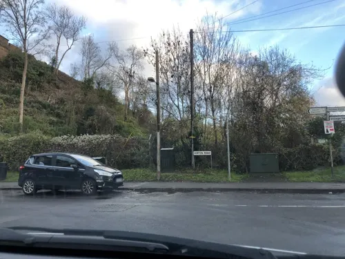
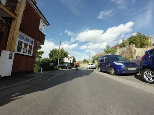
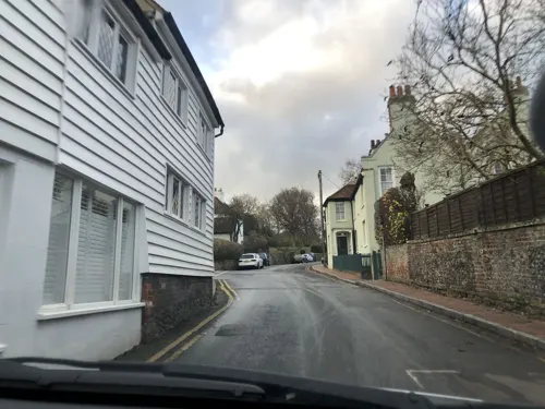
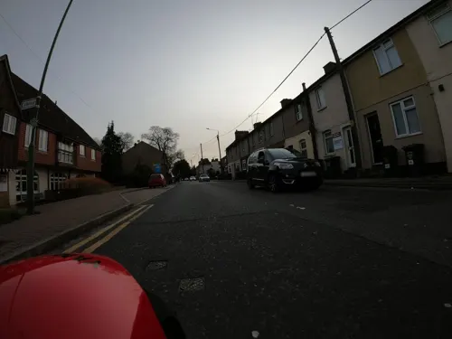
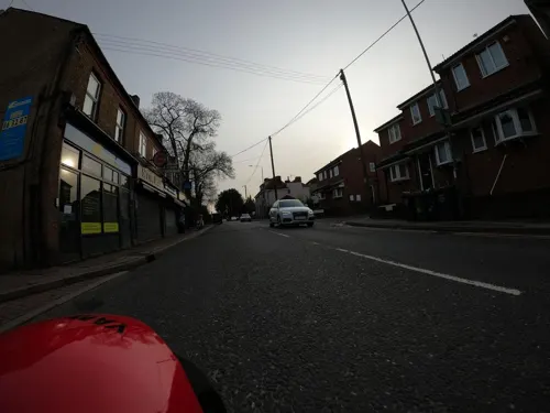


1 more on the map.
Churches and places of worship9
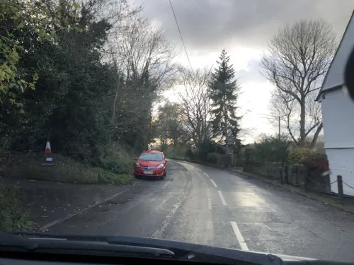
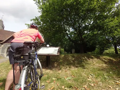
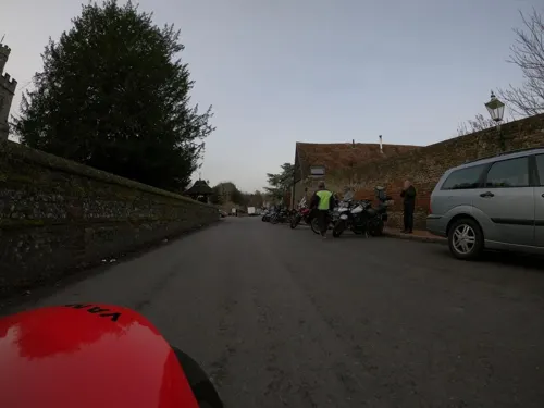

Church of Saint Botolph, Lullingstone
Church · 3.3 mi
Grade I listed church in Lullingstone, Kent, England, UK
Church of St Margaret of Antioch, Darenth
Church · 1.7 mi
Grade I listed church in Darenth, Dartford, Kent, England, UK
Notable people from Horton Kirby
- William Boys RashleighEnglish cricketer (1827-1890)
- William James MiddletonBritish flying ace
Born in Horton Kirby, according to Wikidata (CC0). Each name links to its Wikipedia article.
Shopping1
Gas and EV charging1
Schools, colleges and libraries3
Healthcare1
Map of Horton Kirby
38 places. The map loads OpenStreetMap tiles when you open it.
Getting there and nearby towns
London Biggin Hill Airport (BQH) is the nearest airport with scheduled flights listed in OpenStreetMap, 10 miles away.
- Longfield 2 mi east, about 4 min by car
- Hartley 3 mi east, about 4 min by car
- Swanley 3 mi west, about 5 min by car
- Dartford 4 mi north, about 6 min by car
- Bexley 5 mi northwest, about 8 min by car
- Swanscombe 5 mi northeast, about 7 min by car
- Chelsfield 6 mi southwest, about 9 min by car
- Gravesend 6 mi northeast, about 10 min by car
- Orpington 6 mi west, about 10 min by car
- Grays 7 mi northeast, about 11 min by car
Drive times are estimates from straight-line distance, not routes.
Towns near Horton Kirby


Keep exploring
Local news
Headlines from INDB.
Reviews, tips and questions
Loading what members have shared...
Sources and licences
- GeoNames (CC BY 4.0): population, coordinates, regions and time zone
- Mapillary (see each image): photos
- OpenStreetMap contributors (ODbL 1.0): places, airports, map data
- Wikidata (CC0 1.0): elevation, founding date, time zone, website, landmarks and historic places
- Wikimedia Commons (see each image): photos
- Wikipedia (CC BY-SA 4.0): overview and history text
Photo credits
- St Mary the Virgin Church, Horton Kirby 02, Paul the Archivist, CC BY-SA 4.0
- St Mary the Virgin Church, Horton Kirby 01, Paul the Archivist, CC BY-SA 4.0
- The Cottage, Horton Kirby 01, Paul the Archivist, CC BY-SA 4.0
- The Cottage, Horton Kirby 02, Paul the Archivist, CC BY-SA 4.0
- St Mary the Virgin Church, Horton Kirby 04, Paul the Archivist, CC BY-SA 4.0
- St Mary the Virgin Church, Horton Kirby 03, Paul the Archivist, CC BY-SA 4.0
- Eynsford Castle (20) (18373797302) (2), Richard Nevell from London, United Kingdom, CC BY-SA 2.0
- LullingstonVilla-Kent Interior May2001, Unknown author, CC BY-SA 3.0
- Longfield Chalk Bank 4, Dudley Miles, CC BY-SA 4.0
- Rectory Meadow 8, Dudley Miles, CC BY-SA 4.0
- St John's Jerusalem with cedar of lebanon in foreground, User:Trumpkinius, CC BY 3.0
- Lion Hotel, Farningham 01, Paul the Archivist, CC BY-SA 4.0
- Sutton-at-Hone library (48885045568), JuliaC2006 from Rochester, UK, CC BY 2.0
- Lullingstone Castle Gateway (16th century), Michael Coppins, CC BY-SA 4.0
- Franks Hall, Horton Kirby, Kent (5272027021), Glen from United Kingdom, CC BY 2.0
- Street-level photo, jjhaslanded, CC BY-SA 4.0
- Street-level photo, wasd42, CC BY-SA 4.0
- Street-level photo, tallguy, CC BY-SA 4.0
- Street-level photo, wasd42, CC BY-SA 4.0
- Street-level photo, wasd42, CC BY-SA 4.0
- Street-level photo, tallguy, CC BY-SA 4.0
- Street-level photo, wasd42, CC BY-SA 4.0
- Street-level photo, jjhaslanded, CC BY-SA 4.0
- Street-level photo, paulbiv, CC BY-SA 4.0
- Street-level photo, jjhaslanded, CC BY-SA 4.0
- Street-level photo, tallguy, CC BY-SA 4.0
- Street-level photo, jjhaslanded, CC BY-SA 4.0
- Street-level photo, paulbiv, CC BY-SA 4.0
- Street-level photo, jjhaslanded, CC BY-SA 4.0
- Street-level photo, wasd42, CC BY-SA 4.0

Page built November 10, 2026. Spotted a mistake? Tell us or suggest a place.