

Why visit Brynmawr
Townapedia lists 5 museums and landmarks, 6 parks and trails, 31 places to eat, 1 place to stay and 6 attractions in and around town.
Highlights include Beaufort Theatre, Smart's Bridge, Brynmawr and District Museum and Nantyglo Round Towers.
Weather in Brynmawr
Forecast from MET Norway (CC BY 4.0). Full forecast
About Brynmawr
Brynmawr ( brin-MOUR, Welsh: [brɨnˈmaur]; Welsh for 'big hill') is a market town, community and electoral ward in Blaenau Gwent, Wales. The town, sometimes cited as the highest town in Wales, is situated at 1,250 to 1,500 feet (380 to 460 m) above sea level at the head of the South Wales Valleys. It grew with the development of the coal mining and iron industries in the early 19th century. Until the reorganisation of local authorities in 1974, Brynmawr was administered as part of the county of Brecknockshire.
From the Wikipedia article Brynmawr (this version), under CC BY-SA 4.0.
Travel tips from other travellers: Brynmawr on Wikivoyage (CC BY-SA 4.0).
Things to do6
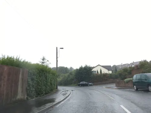
Beaufort Theatre
Cinema and theater · 0.9 mi
Theatre in Blaenau Gwent, Wales


Museums and landmarks5


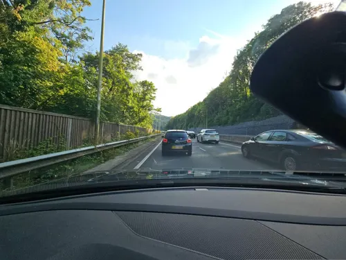
Brynmawr Civic War Memorial
Monument and historic site · 0.4 mi
A memorial commemorating the residents of Brynmawr who were killed or missing in World War I (92 men) and World War II (36 men).
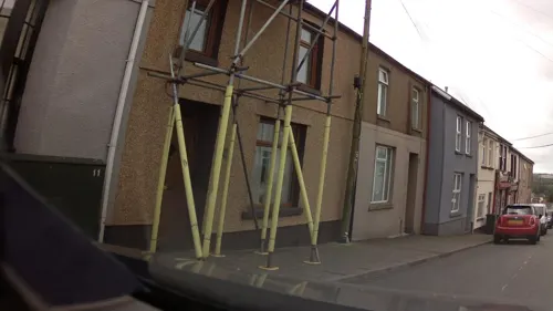
Ebbw Vale Civic War Memorial
Monument and historic site · 1.6 mi
Libanus Road, Ebbw Vale
Parks, trails and playgrounds6




Restaurants and cafes31
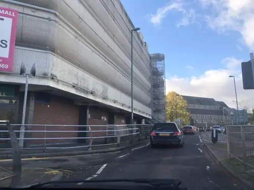
Doniya
Restaurant · Indian · 1.6 mi
6 Market Square, Ebbw Vale
Mo-Th 17:00-22:30; Fr-Sa 17:00-23:00; Su 17:00-22:30
Hobby Horse
Bar and pub · 0.6 mi
30 Greenland Road, Brynmawr
Mo Off; Tu Off; We-Su 12:00-22:00
Presso Cafe Grill
Cafe · Breakfast, Coffee Shop · 1.7 mi
17 Market Street, Ebbw Vale
Mo-Th 09:00-15:30; Fr 08:30-15:30; Sa 09:00-15:30; Su 10:00-15:00
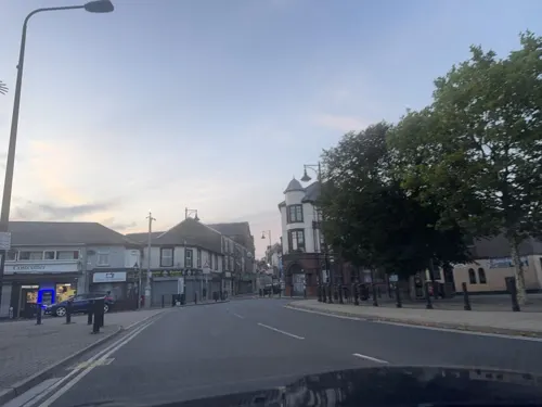
The Talisman
Bar and pub · 0.4 mi
9 Market Square, Brynmawr
Mo-Sa 10:30-23:00; Su 12:00-23:00
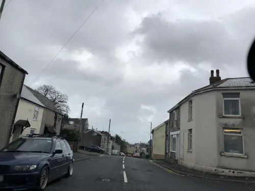
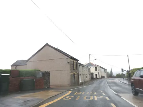
Cendl Inn
Bar and pub · 0.7 mi
Beaufort Hill, Beaufort
Mo-Th 16:00-24:00; Fr 14:00-24:00; Sa 12:00-24:00; Su 12:00-22:30

Bridgend Inn
Bar and pub · 0.6 mi
8 King Street, Brynmawr
Mo-Th 12:00-23:00; Fr-Su 12:00-24:00
Legends
Bar and pub
1 Beaufort Street, Brynmawr
Mo-Fr 15:00-24:00; Sa-Su 14:00-25:00

The Rustic Stag
Cafe · Breakfast, Coffee Shop, Cake · 0.4 mi
17 Market Square, Brynmawr
Mo Off; Tu-Fr 09:00-14:00,16:00-20:00; Sa 09:30-18:30; Su 14:00-19:00
The Welfare
Bar and pub · 1.5 mi
Steel Works Road, Ebbw Vale
Mo Off; Tu Off; We Off; Th-Fr 17:00-23:00; Sa 14:00-23:00; Su 12:00-23:00
19 more on the map.
History
Prior to the Industrial Revolution and the founding of Brynmawr, a settlement called Gwaun Helygen (meaning 'marsh of the willows') sat on a small area of moorland on the border between the counties of Monmouthshire and Brecknockshire. The village consisted of a few scattered farmhouses, a slew of small tram roads that led to the surrounding coal deposits, a staging inn, and a turnpike road from Abergavenny to Merthyr Tydfil which crossed through the bleak upland plateau.
With the development of Nantyglo ironworks under Crawshay Bailey in the early 19th century, suitable housing was needed for the workers, and thus the area of upland home to Gwaun Helygen was chosen as an ideal area for a settlement. Houses began to spring up around the tram roads and the turnpike road, and the town began to rapidly grow. Although the settlement was not home to any heavy industry, and was for the most part a dormitory town, several above-ground ore deposits outside of the town were worked on, and a few underground levels were eventually dug beneath Brynmawr. However, as early as the 1870s, many of the resources that were once considered abundant had been exhausted, and the local industry began to decline. As the town's residents practically solely relied on the surrounding industries, many of them left the town in search of employment, and Brynmawr witnessed a sharp drop in population.
Read more of the history
The town's market hall, now the Market Hall Cinema, was built in 1894, and replaced the older town hall built in 1844.
By the time of the Great Depression, most of the town's population were unemployed, which attracted the attention of a group of Quakers, whose work in the town to relieve unemployment culminated in the Brynmawr Experiment.
In 1952, Jim Forrester of Enfield Cables Ltd opened a factory in the town, which was eventually acquired by the Dunlop Rubber Company. Operating under the brand name of Dunlop Semtex Ltd, the factory produced flooring for the health and education sectors up until its closure in 1981. It was largely demolished in 2001.
From the History section of Brynmawr on Wikipedia, under CC BY-SA 4.0.
Notable people from Brynmawr
 Marina DiamandisBritish singerPhoto: Seanbworth, CC BY-SA 4.0
 Adrian StreetWelsh professional wrestler (1940-2023)Photo: Unknown author Unknown author, Public domain
 Mac AdamsBritish painter (born 1943)Photo: George Quasha, CC BY 3.0
- David DaviesBritish actor, born 1906 (1906–1974)
- Brian EvansWelsh footballer (1942-2003)
- John FoleyWelsh rugby league footballer
Born in Brynmawr, according to Wikidata (CC0). Each name links to its Wikipedia article.
Where to stay1
Churches and places of worship18
Shopping7
Gas and EV charging1
Schools, colleges and libraries10
St Mary's C in W Voluntary Aided School
School · 0.5 mi
Intermediate Road, Brynmawr
Healthcare1
Map of Brynmawr
86 places. The map loads OpenStreetMap tiles when you open it.
Getting there and nearby towns
Cardiff Airport (CWL) is the nearest airport with scheduled flights listed in OpenStreetMap, 29 miles away.
- Ebbw Vale 2 mi southwest, about 3 min by car
- Tredegar 3 mi southwest, about 5 min by car
- Merthyr Tydfil 9 mi southwest, about 15 min by car
- Pontypool 9 mi southeast, about 15 min by car
- Gelligaer 10 mi south, about 16 min by car
- Treharris 11 mi southwest, about 17 min by car
- Nelson 11 mi southwest, about 18 min by car
- Cwmbran 12 mi southeast, about 20 min by car
- Mountain Ash 12 mi southwest, about 19 min by car
- Risca 14 mi south, about 22 min by car
Drive times are estimates from straight-line distance, not routes.
Towns near Brynmawr


Keep exploring
Local news
Headlines from INDB.
Reviews, tips and questions
Loading what members have shared...
Sources and licences
- GeoNames (CC BY 4.0): population, coordinates, regions and time zone
- Mapillary (see each image): photos
- OpenStreetMap contributors (ODbL 1.0): places, airports, map data
- Wikidata (CC0 1.0): elevation, founding date, time zone, website, landmarks and historic places
- Wikimedia Commons (see each image): photos
- Wikipedia (CC BY-SA 4.0): overview and history text
Photo credits
- St Elli's Church, Llanelly, Robevans123, CC BY-SA 3.0
- Street-level photo, laye, CC BY-SA 4.0
- Street-level photo, laye, CC BY-SA 4.0
- Street-level photo, laye, CC BY-SA 4.0
- Street-level photo, laye, CC BY-SA 4.0
- Street-level photo, laye, CC BY-SA 4.0
- Street-level photo, laye, CC BY-SA 4.0
- Street-level photo, southglos, CC BY-SA 4.0
- Street-level photo, toho, CC BY-SA 4.0
- Street-level photo, laye, CC BY-SA 4.0
- Street-level photo, laye, CC BY-SA 4.0
- Street-level photo, laye, CC BY-SA 4.0
- Street-level photo, laye, CC BY-SA 4.0
- Street-level photo, laye, CC BY-SA 4.0
- Street-level photo, laye, CC BY-SA 4.0
- Street-level photo, laye, CC BY-SA 4.0
- Street-level photo, southglos, CC BY-SA 4.0
- Street-level photo, southglos, CC BY-SA 4.0
- Street-level photo, southglos, CC BY-SA 4.0
- Street-level photo, laye, CC BY-SA 4.0
Page built November 10, 2026. Spotted a mistake? Tell us or suggest a place.