

Beaminster, United Kingdom
Beaminster is a town of 2,957 people in England, United Kingdom.
Why visit Beaminster
Townapedia lists 4 museums and landmarks, 2 parks and trails, 12 places to eat and 3 attractions in and around town.
Highlights include Beaminster Museum and Stokewater Meadow Donkey Walking Days.
Weather in Beaminster
Forecast from MET Norway (CC BY 4.0). Full forecast
About Beaminster
Beaminster is a town and civil parish in Dorset, England, approximately 15 miles (24 km) northwest of the county town Dorchester. It is sited in a bowl-shaped valley near the source of the small River Brit. The population of Beaminster parish was recorded as 3,177 in the 2021 census.
From the Wikipedia article Beaminster (this version), under CC BY-SA 4.0.
Things to do3

Museums and landmarks4
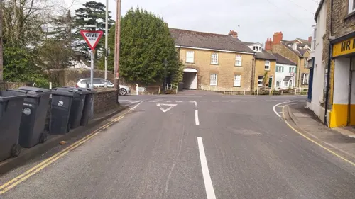
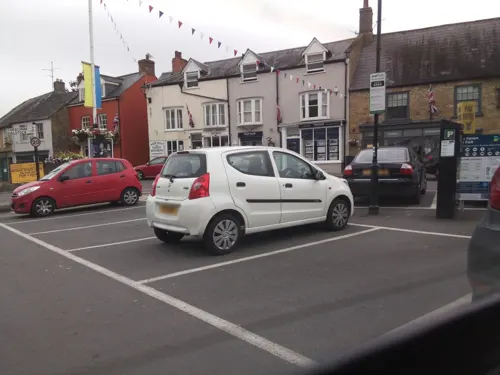
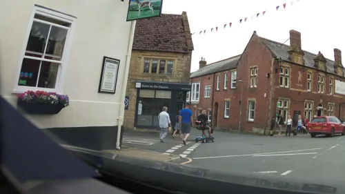

Parks, trails and playgrounds2


Restaurants and cafes12
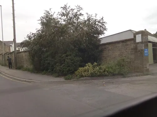
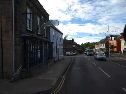
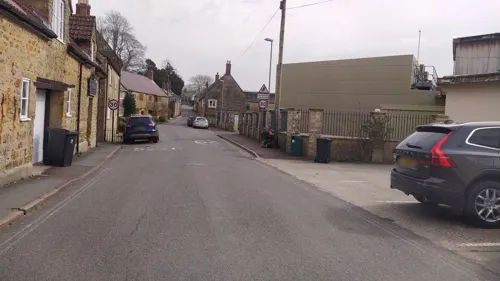
The Red Lion
Bar and pub
14 The Square, Beaminster
Tu 17:00-24:00; We,Th 11:30-14:30,17:00-24:00; Fr...
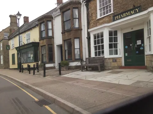
Bombay Spice
Restaurant · Indian
Hogshill Street, Beaminster
Mo-Su 17:00-21:30; We off
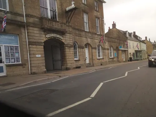

Greyhound Inn
Bar and pub · Regional
11 The Square, Beaminster
Mo-Fr 11:00-14:30,18:00-00:00; Sa 11:30-14:30,18:00-00:00; Su 12:00-15:00

History
In the Domesday Book of 1086 the manor of Beaminster was recorded as being owned by the See of Salisbury. Bishop Osmund gave it as a supplement to two of the Cathedral prebends in 1091. The parish formed part of Beaminster Forum and Redhone hundred.
In the English Civil War the town declared for Parliament and was sacked by Royalist forces in 1644. Prince Maurice stayed in the town on Palm Sunday, though his stay was brief because a fire, caused by a musket being discharged into a thatched roof, almost totally destroyed the town. The town suffered further accidental fires in 1684 and 1781.
Previously Beaminster was a centre for the production of linen and woollens. Flax was grown and sheep kept on the surrounding hills and the town was locally more important than it is today: factories were constructed in the 18th and early 19th centuries, and as many as seventeen inns existed in the town in the early 20th century.
No railway line came through Beaminster and as a result the town declined relative to other local towns such as Bridport and Dorchester.
Read more of the history
Horn Park, about 1+1⁄2 miles (2.5 kilometres) northwest of Beaminster, is a neo-Georgian country house of five bays and two storeys, designed by architect T. Lawrence Dale and completed in 1911. Inside the house the central corridor is barrel vaulted and leads to a drawing room whose groin vault is reminiscent of the work of Sir John Soane (1753–1837). The drawing room includes Jacobean features re-used from the largely mid-16th-century nearby Parnham House, which was being altered and restored at about the time that Horn Park was being built. Horn Park is grade II listed. Its gardens are occasionally open to the public as part of the National Gardens Scheme.
From the History section of Beaminster on Wikipedia, under CC BY-SA 4.0.
More about Beaminster
Geography
Beaminster is sited 50 to 80 metres (160–260 ft) above sea level in a bowl-shaped valley, surrounded by hills which rise to 244 metres (801 ft) at Beaminster Down to the northeast. The River Brit and many small streams emerge from springs on the slopes above the town. The confluences of several of these streams are within the town's boundaries. Beaminster's growth has historically been along the course of these streams, resulting in a settlement pattern that is roughly star-shaped.
Beaminster is situated approximately 45 miles (72 km) south of Bristol, 38 miles (61 km) west of Bournemouth, 35 miles (56 km) east of Exeter and 15 miles (24 km) northwest of the county town Dorchester.
Economy
International Flavors & Fragrances (previously DuPont) produce Nisaplin (E234), a commercial formulation of the natural bacteriocin nisin, at a factory in the town. It was first isolated by Aplin and Barret and produced in the 1950s in the factory laboratory then at 11–15 North Street.
The Clipper Teas company is based in Beaminster. It is currently owned by the Dutch company Royal Wessanen.
Beaminster hosts the Beaminster Festival, an annual music and art festival. Whitcombe Disc golf course at Beaminster has hosted the British Open Disc Golf Championship several times and the European Disc Golf Championship in 2003. The town is twinned with the town of Saint-James on the Brittany/Normandy border in France.
Buckham Fair, a fundraising vintage fair held annually on land near the town, took place for ten years until the last event in 2018. As of 2020, the fair has been indefinitely postponed.
Education
Primary schools in the town include St Mary's Church of England Primary School.
Beaminster School is the town's secondary school. It has a combined sixth form with The Sir John Colfox Academy, in the nearby town of Bridport.
Beaminster is also home to Mountjoy School co-sharing the site of Beaminster School.
Hooke Park is the woodland campus of the Architectural Association School of Architecture.
From the Wikipedia article Beaminster, under CC BY-SA 4.0.
Notable people from Beaminster
- Thomas SpratEnglish churchman and writer (1635–1713)
- Jonah AyungaKenyan association football player
- Theodore Robinsoncricketer (1866-1959)
- Selwyn Jephsoncricketer (1900-1978)
- Peter FolkesEnglish painter, born 3 November 1923 (1923–2019)
- John Holdenpolitician in New South Wales, Australia (1810-1860)
- James Shiner BondPrinter, newspaper owner, and mayor
Born in Beaminster, according to Wikidata (CC0). Each name links to its Wikipedia article.
Churches and places of worship9
Shopping4
Schools, colleges and libraries4
Healthcare1
Map of Beaminster
39 places. The map loads OpenStreetMap tiles when you open it.
Getting there and nearby towns
Royal Naval Air Station Yeovilton (YEO) is the nearest airport with scheduled flights listed in OpenStreetMap, 14 miles away.
- Bridport 5 mi south, about 8 min by car
- Merriott 8 mi north, about 12 min by car
- West Coker 8 mi north, about 13 min by car
- Charmouth 9 mi southwest, about 14 min by car
- Yetminster 9 mi northeast, about 15 min by car
- Yeovil 10 mi northeast, about 17 min by car
- South Petherton 10 mi north, about 16 min by car
- Stoke-sub-Hamdon 10 mi north, about 16 min by car
- Chard 11 mi northwest, about 17 min by car
- Dorchester 15 mi southeast, about 24 min by car
Drive times are estimates from straight-line distance, not routes.
Towns near Beaminster


Keep exploring
Local news
Headlines from INDB.
Reviews, tips and questions
Loading what members have shared...
Sources and licences
- GeoNames (CC BY 4.0): population, coordinates, regions and time zone
- Mapillary (see each image): photos
- OpenStreetMap contributors (ODbL 1.0): places, airports, map data
- Wikidata (CC0 1.0): elevation, founding date, time zone, website, landmarks and historic places
- Wikimedia Commons (see each image): photos
- Wikipedia (CC BY-SA 4.0): overview and history text
Photo credits
- Holy Trinity Church Beaminster Dorset, Ashley Smith, CC BY-SA 4.0
- Street-level photo, southglos, CC BY-SA 4.0
- Street-level photo, southglos, CC BY-SA 4.0
- Street-level photo, noid, CC BY-SA 4.0
- Street-level photo, ukchris, CC BY-SA 4.0
- Street-level photo, noid, CC BY-SA 4.0
- Street-level photo, southglos, CC BY-SA 4.0
- Street-level photo, ukchris, CC BY-SA 4.0
- Street-level photo, southglos, CC BY-SA 4.0
- Street-level photo, noid, CC BY-SA 4.0
- Street-level photo, southglos, CC BY-SA 4.0
- Street-level photo, ukchris, CC BY-SA 4.0
- Street-level photo, southglos, CC BY-SA 4.0
- Street-level photo, southglos, CC BY-SA 4.0
- Street-level photo, southglos, CC BY-SA 4.0
- Street-level photo, southglos, CC BY-SA 4.0
Page built November 10, 2026. Spotted a mistake? Tell us or suggest a place.