


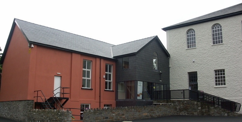
Why visit Bedlinog
Townapedia lists 8 museums and landmarks, 6 parks and trails, 16 places to eat, 2 places to stay and 8 attractions in and around town.
Highlights include Pont-y-gwaith, Craig Y Felin and Parc Cwm Darran.
Weather in Bedlinog
Forecast from MET Norway (CC BY 4.0). Full forecast
About Bedlinog
Bedlinog is a village and community located in the Taff Bargoed valley, in the south of Merthyr Tydfil County Borough, Wales. It is 10 km (6 mi) north of Pontypridd, 10 km (6 mi) north west of Caerphilly and 10 km (6 mi) south east of Merthyr Tydfil. Until 1974 it was part of Gelligaer Urban District Council in the county of Glamorgan.
From the Wikipedia article Bedlinog (this version), under CC BY-SA 4.0.
Things to do8

Pont-y-gwaith
Bridge · 2.5 mi
Historical bridge over the River Taff near Edwardsville, Merthyr Tydfil, Wales


Museums and landmarks8

Parks, trails and playgrounds6


Restaurants and cafes16
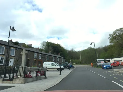
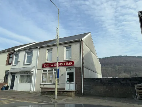
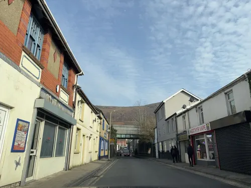

Mount Pleasant Inn
Bar and pub · 2.0 mi
Mount Pleasant Row, Bargoed

4 more on the map.
Notable people from Bedlinog
 Richard FussellWelsh rugby union playerPhoto: Caroline Léna Becker, CC BY 3.0
- Cyril WaltersCricket player of England. (1905-1992)
- Evan EdwardsWelsh footballer (1898-1958)
- Barry WatkinsWelsh footballer (1921-2004)
- Peter ReesWelsh rugby union player
Born in Bedlinog, according to Wikidata (CC0). Each name links to its Wikipedia article.
Where to stay2
Churches and places of worship16
St Mary and St Andrew Church
Church · Church In Wales · 2.0 mi
Gelligaer Common, Bargoed
Aberfan Methodist Church
Church · Methodist · 1.6 mi
Bridge Street, Merthyr Tydfil
Schools, colleges and libraries8
Healthcare2
Map of Bedlinog
66 places. The map loads OpenStreetMap tiles when you open it.
Getting there and nearby towns
Cardiff Airport (CWL) is the nearest airport with scheduled flights listed in OpenStreetMap, 21 miles away.
- Aberfan 2 mi southwest, about 3 min by car
- Treharris 3 mi south, about 4 min by car
- Abercanaid 3 mi northwest, about 4 min by car
- Fochriw 3 mi north, about 4 min by car
- Mountain Ash 3 mi southwest, about 5 min by car
- Gelligaer 4 mi southeast, about 6 min by car
- Bargoed 4 mi southeast, about 6 min by car
- Nelson 4 mi south, about 6 min by car
- Merthyr Tydfil 4 mi northwest, about 7 min by car
- Rhymney 4 mi north, about 6 min by car
Drive times are estimates from straight-line distance, not routes.
Towns near Bedlinog


Keep exploring
Local news
Headlines from INDB.
Reviews, tips and questions
Loading what members have shared...
Sources and licences
- GeoNames (CC BY 4.0): population, coordinates, regions and time zone
- Mapillary (see each image): photos
- OpenStreetMap contributors (ODbL 1.0): places, airports, map data
- Wikidata (CC0 1.0): elevation, founding date, time zone, website, landmarks and historic places
- Wikimedia Commons (see each image): photos
- Wikipedia (CC BY-SA 4.0): overview and history text
Photo credits
- Pontygwaith, The original uploader was Varitek at English Wikipedia ., CC BY-SA 3.0
- Y tu mewn i gapel Bethania, Aberpennar, GeraintTudur2, CC BY-SA 3.0
- Ynysgau Chapel, Unknown author, Public domain
- Canolfan Soar, Merthyr Tudful, Daicaregos, CC BY-SA 4.0
- Street-level photo, trigpoint, CC BY-SA 4.0
- Street-level photo, southglos, CC BY-SA 4.0
- Street-level photo, southglos, CC BY-SA 4.0
- Street-level photo, editid, CC BY-SA 4.0
- Street-level photo, editid, CC BY-SA 4.0
- Street-level photo, editid, CC BY-SA 4.0
- Street-level photo, editid, CC BY-SA 4.0
- Street-level photo, editid, CC BY-SA 4.0
- Street-level photo, southglos, CC BY-SA 4.0
- Street-level photo, southglos, CC BY-SA 4.0
- Street-level photo, southglos, CC BY-SA 4.0
- Street-level photo, editid, CC BY-SA 4.0
- Street-level photo, editid, CC BY-SA 4.0
- Street-level photo, editid, CC BY-SA 4.0
- Street-level photo, editid, CC BY-SA 4.0
Page built November 10, 2026. Spotted a mistake? Tell us or suggest a place.