


Why visit Bickley
Townapedia lists 21 museums and landmarks, 28 parks and trails, 229 places to eat, 3 places to stay and 7 attractions in and around town.
Highlights include Bromley Little Theatre, Bob Hope Theatre, Chislehurst Caves and Bromley War Memorial.
Weather in Bickley
Forecast from MET Norway (CC BY 4.0). Full forecast
About Bickley
Bickley is a district and a local government electoral ward in South East London, within the London Borough of Bromley. It is located 10.4 miles (16.7 km) south east of Charing Cross, bordering Elmstead to the north, Chislehurst to the north-east and east, Petts Wood to the south-east, Southborough to the south, Bromley to the south-west and west and Widmore to the north-west. Until 1965, it was in the historic county of Kent.
From the Wikipedia article Bickley (this version), under CC BY-SA 4.0.
Photos of Bickley


Things to do7

Bromley Little Theatre
Cinema and theater · 1.4 mi
Community theatre in London Borough of Bromley, England
North Street, Bromley

Bob Hope Theatre
Cinema and theater · 3.4 mi
Community theatre in Eltham, Royal Borough of Greenwich, London, England

Churchill Theatre
Cinema and theater · 1.4 mi
Theatre in Bromley, London, England


Museums and landmarks21
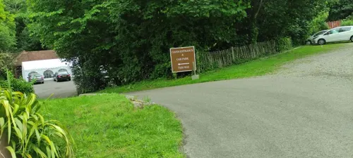

Bromley War Memorial
Monument and historic site · 1.5 mi
War memorial in London

Bethlem Museum of the Mind
Museum · 1.6 mi
Re-sited and relaunched art and medical museum, sited at the Bethlam Royal Hospital, Beckenham, London Borough of Bromley, United Kingdom

Bromley Parish Church Memorial
Monument and historic site · 1.5 mi
War memorial in London


Romano-British site, Wickham Court Farm
Monument and historic site · 3.4 mi
Archaeological site in Bromley, London

Icehouse
Monument and historic site · 1.0 mi
C19 listed Icehouse with summer house porch, probably by Pulhams. Also used as a boathouse. Partially collapsed due to neglect in 2019.

Lord of the Manor's Folly
Monument and historic site · 1.1 mi
C19 listed folly buildings incorporating medieval remains from moat

Pulhamite Waterfall/Rockery
Monument and historic site · 1.0 mi
C19 listed Pulhamite Waterfall/Rockery in the Palace Park. c.1865 hand crafted rocks and planting holes by James Pulhamite & Co.,...

St Blaise's well
Monument and historic site · 1.0 mi
Little fountain in circular brickwork pond marking the site of St Blaise's well. Information board illustrating the previous pillared...

Crofton Roman Villa
Museum · 2.7 mi
Roman villa in Orpington, in the London Borough of Bromley
Metropolitan Police Museum
Museum · 3.3 mi
Law enforcement museum in London, England
9 more on the map.
Parks, trails and playgrounds28


Norman Park
Park · 1.2 mi
Recreation ground in the London Borough of Bromley, England


Chinbrook Meadows
Park · 2.1 mi
Park in London Borough of Lewisham, United Kingdom

Downham Woodland Walk
Park · 2.7 mi
Nature reserve in London, England

Beckenham Place Park
Park · 3.0 mi
Park in London Borough of Lewisham, England, UK

Elmstead Wood
Park · 1.4 mi
Woodland and park in the London Borough of Bromley, England, UK
Forster Memorial Park
Park · 3.0 mi
Park in London Borough of Lewisham, United Kingdom
16 more on the map.
Restaurants and cafes229
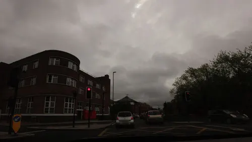
The Railway Tavern
Bar and pub · 1.3 mi
45 East Street, Bromley
Mo-Th 16:00-23:00; Fr-Sa 12:00-24:00; Su 12:00-22:30
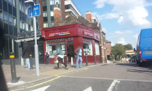
Caffè Nero
Cafe · Coffee Shop · 1.3 mi
12-14 High Street, Bromley
Mo-Fr 06:00-19:00; Sa 07:00-19:00; Su 07:30-18:00
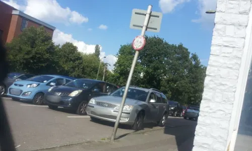
Calcutta
Restaurant · Indian · 1.4 mi
131 Queensway, Orpington
Mo-Th 12:00-14:30, 18:00-22:30; Fr-Sa 12:00-14:30, 18:00-23:00; Su...
Denny's Seafood Restaurant
Restaurant · Seafood · 0.6 mi
3 Station Approach, Chislehurst
Tu-Sa 18:00+; Su 12:00+
Indian Essence
Restaurant · Indian · 1.5 mi
176-178 Petts Wood Road, Orpington
Mo-Sa 12:00-14:45,17:30-22:00; Su 12:30-14:45,17:30-21:30


Cheeky Goat
Cafe · Coffee Shop · 1.4 mi
103a Queensway, Orpington
Mo-Th 13:00-20:00; Fr,Sa 11:00-22:00; Su 11:00-20:00
Coral Sea
Restaurant · Chinese · 1.4 mi
103 Queensway, Orpington
Mo 16:00-23:30; Tu-Th 16:00-23:00; Fr,Sa 16:00-00:30, Su 12:00-23:00

Cork n Cask
Bar and pub · 1.0 mi
Bar & Real Ale Delivery
139 Masons Hill, Bromley
Mo-Th 16:00-21:30; Fr 16:00-23:00; Sa 12:00-23:00; Su 13:00-19:00

217 more on the map.
History
The area's name is first recorded in 1279, the 'ley' or 'lea' referring to a forest clearing, and 'Bicca' either meaning a pointed ridge, or else a personal name. The area remained rural, save for a small hunting lodge belonging to the Wells family dating to 1759. The Lodge was gradually enlarged to become Bickley Hall, a classical house designed by Robert Mylne, FRS, for John Wells, shipbuilder, in 1780 (demolished 1963). His brother William, shipbuilder and a director of Greenwich Hospital, inherited the estate, and his son John commissioned additions by Robert Smirke in 1810. John Wells began selling part of his lands in 1841 following due to financial difficulties, and by the late 1850s a few large houses had been built in the area, aided by the opening of Bickley railway station (formerly named Southborough Road) in 1858 and Chislehurst station in 1865. Much of the area was purchased and developed by George Wythes, who commissioned numerous large houses for the wealthy classes, most of them designed by Richard Norman Shaw and Ernest Newton. St George's Church was built in 1865, and a cricket ground in 1868. Smaller-scale development continued throughout the early 20th century and several of the older, larger properties were demolished or sub-divided. The area today remains a wealthy one, characterised by large detached housing.
From the History section of Bickley on Wikipedia, under CC BY-SA 4.0.
Notable people from Bickley
 Robert ArkwrightBritish Army generalPhoto: British official photographer, Public domain
 Ethel HurlbattBritish academicPhoto: Srsval, Public domain
 Eric M. RogersBritish physicistPhoto: Richard Leacock, Public domain
- Philip HollomBritish ornithologist
- Gertrude HermesEnglish wood engraver, print maker and sculptor (1901-1983)
- Alan Charles ClarkBritish Roman Catholic priest, first Bishop of East Anglia (1919–2002)
- Freddie van den Berghcricketer (born 1992)
- Alison StephensBritish musician
- Frederick William PaynBritish tennis player
- Allan RutterEnglish cricketer (born 1928)
- William JoynsonEnglish cricketer and British Army officer (1917-2000)
Born in Bickley, according to Wikidata (CC0). Each name links to its Wikipedia article.
Where to stay3
Premier Inn London Bromley hotel
Motel and hotel · 1.3 mi
14 St Mark's Square, Bromley
Churches and places of worship39
Shopping36
Gas and EV charging3
Schools, colleges and libraries31
St George's, Bickley, Church of England Primary School
School · Anglican · 0.5 mi
Tylney Road, Bromley
Healthcare13
Map of Bickley
250 places. The map loads OpenStreetMap tiles when you open it.
Getting there and nearby towns
London Biggin Hill Airport (BQH) is the nearest airport with scheduled flights listed in OpenStreetMap, 5 miles away.
- Chislehurst 1 mi northeast, about 2 min by car
- Hayes 2 mi southwest, about 3 min by car
- Orpington 3 mi southeast, about 5 min by car
- Sidcup 3 mi northeast, about 5 min by car
- West Wickham 4 mi southwest, about 6 min by car
- Shirley 4 mi west, about 7 min by car
- Bexley 5 mi northeast, about 8 min by car
- Kidbrooke 5 mi north, about 7 min by car
- Chelsfield 5 mi southeast, about 7 min by car
- Swanley 5 mi east, about 9 min by car
Drive times are estimates from straight-line distance, not routes.
Towns near Bickley


Keep exploring
Local news
Headlines from INDB.
Reviews, tips and questions
Loading what members have shared...
Sources and licences
- GeoNames (CC BY 4.0): population, coordinates, regions and time zone
- Mapillary (see each image): photos
- OpenStreetMap contributors (ODbL 1.0): places, airports, map data
- Wikidata (CC0 1.0): elevation, founding date, time zone, website, landmarks and historic places
- Wikimedia Commons (see each image): photos
- Wikipedia (CC BY-SA 4.0): overview and history text
Photo credits
- No.34067 'Tangmere' at Bickley (5856820924), Peter Trimming from Croydon, England, CC BY 2.0
- Bickley railway station 1796859 bf623e63, Ben Brooksbank, CC BY-SA 2.0
- Eltham highstreet 3, PeterEltham, CC BY-SA 3.0
- Bromley War Memorial (Southwest View - 03), Doyle of London, CC BY-SA 4.0
- Bethlem Royal Hospital Main building view 1, SLaMNHSFT, CC BY-SA 3.0
- Bromley Parish Church Memorial 2, Back ache, CC BY-SA 4.0
- 1212906 II Star ELTHAM COURT (ELTHAM PALACE), COURT YARD, from SW Greenwich London 20250610 0005, Tilman2007, CC BY-SA 4.0
- Romano-British site, Wickham Court Farm, WisDom-UK, CC BY-SA 4.0
- Ravensbourne River, Mike Quinn, CC BY-SA 2.0
- Burnt Ash Pond, Dudley Miles, CC BY-SA 3.0
- Orpington All Saints Church CG, CarolGray at English Wikipedia, CC BY-SA 3.0
- Hayes (Bromley) St Mary the Virgin from north-west (01), Doyle of London, CC BY-SA 4.0
- Churchill Theatre, Back ache, CC BY-SA 4.0
- Folly at Bromley Palace Park (01), Doyle of London, CC BY-SA 4.0
- Pulhamite Waterfall In Bromley Palace Park, Back ache, CC BY-SA 3.0
- The Ice House And Ha-Ha Wall At Bromley Palace Park, Back ache, CC BY-SA 3.0
- 2016may14 9846 bromley bishops-palace folly palace-park, w:User:KerryFHood, CC BY-SA 4.0
- 2014feb15 4578 st blaises well palace-park, w:User:KerryFHood, CC BY-SA 4.0
- Outside the Churchill Theatre at night, Tomwatney, CC BY-SA 4.0
- Jubilee Country Park grassland, Dudley Miles, CC0
- Downham Woodland Walk 3, Dudley Miles, CC BY-SA 3.0
- Closterotomus trivialis 138092415, Oliver Clark, CC BY 4.0
- Doosan wheeled road rail excavator vehicle - 21301324543, train_photos, CC BY-SA 2.0
- Doosan wheeled road rail excavator vehicle, train_photos, CC BY-SA 2.0
- Doosan wheeled road rail excavator vehicle - 21735549599, train_photos, CC BY-SA 2.0
- Doosan wheeled road rail excavator vehicle - 21896242926, train_photos, CC BY-SA 2.0
- Bromley Blues Club at the Bromley Little Theatre, Back ache, CC BY-SA 4.0
- BROMLEY WAR MEMORIAL, ST MARTIN'S HILL Back Side, Ashley Roger Martin, CC BY-SA 3.0
- Chinbrook Meadows (6887366056), rjp from London, UK, CC BY 2.0
- Street-level photo, tallguy, CC BY-SA 4.0
- Street-level photo, jethro10, CC BY-SA 4.0
- Street-level photo, paulbiv, CC BY-SA 4.0
- Street-level photo, jethro10, CC BY-SA 4.0
- Street-level photo, paulbiv, CC BY-SA 4.0
- Street-level photo, paulbiv, CC BY-SA 4.0
- Street-level photo, vlivyur, CC BY-SA 4.0
- Street-level photo, paulbiv, CC BY-SA 4.0
- Street-level photo, gness, CC BY-SA 4.0
- Street-level photo, tallguy, CC BY-SA 4.0
- Street-level photo, paulbiv, CC BY-SA 4.0
- Street-level photo, paulbiv, CC BY-SA 4.0
- Street-level photo, wasd42, CC BY-SA 4.0
- Street-level photo, gness, CC BY-SA 4.0
- Street-level photo, wasd42, CC BY-SA 4.0
- Street-level photo, tallguy, CC BY-SA 4.0


Page built November 10, 2026. Spotted a mistake? Tell us or suggest a place.