


Chislehurst, United Kingdom
Chislehurst is a town of 15,600 people in England, United Kingdom.
Why visit Chislehurst
Townapedia lists 15 museums and landmarks, 30 parks and trails, 74 places to eat, 2 places to stay and 4 attractions in and around town.
Highlights include Bob Hope Theatre, Bromley Little Theatre, Chislehurst Caves and Bethlem Museum of the Mind.
Weather in Chislehurst
Forecast from MET Norway (CC BY 4.0). Full forecast
About Chislehurst
Chislehurst () is an affluent suburban district of south-east London, England, in the London Borough of Bromley. It lies east of Bromley, south-west of Sidcup and north-west of Orpington, 10 miles (16 km) south-east of Charing Cross. Before the creation of Greater London in 1965, it was in Kent. According to the 2021 census, Chislehurst has a population of 15,600 (rounded to the nearest 100).
From the Wikipedia article Chislehurst (this version), under CC BY-SA 4.0.
Things to do4

Bob Hope Theatre
Cinema and theater · 2.5 mi
Community theatre in Eltham, Royal Borough of Greenwich, London, England

Bromley Little Theatre
Cinema and theater · 2.4 mi
Community theatre in London Borough of Bromley, England

Churchill Theatre
Cinema and theater · 2.5 mi
Theatre in Bromley, London, England

Library & Sidcup Storyteller Cinema
Cinema and theater · 1.5 mi
106 High Street, Sidcup
Museums and landmarks15
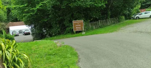

Bethlem Museum of the Mind
Museum · 3.0 mi
Re-sited and relaunched art and medical museum, sited at the Bethlam Royal Hospital, Beckenham, London Borough of Bromley, United Kingdom

Bromley Parish Church Memorial
Monument and historic site · 2.6 mi
War memorial in London

Bromley War Memorial
Monument and historic site · 2.6 mi
War memorial in London



Crofton Roman Villa
Museum · 3.1 mi
Roman villa in Orpington, in the London Borough of Bromley
Metropolitan Police Museum
Museum · 1.8 mi
Law enforcement museum in London, England

3 more on the map.
Parks, trails and playgrounds30


Chinbrook Meadows
Park · 1.9 mi
Park in London Borough of Lewisham, United Kingdom
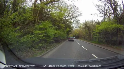

Downham Woodland Walk
Park · 3.0 mi
Nature reserve in London, England




Elmstead Wood
Park · 1.2 mi
Woodland and park in the London Borough of Bromley, England, UK
Forster Memorial Park
Park · 3.3 mi
Park in London Borough of Lewisham, United Kingdom
18 more on the map.
Restaurants and cafes74

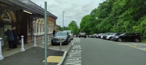
Denny's Seafood Restaurant
Restaurant · Seafood · 0.9 mi
3 Station Approach, Chislehurst
Tu-Sa 18:00+; Su 12:00+
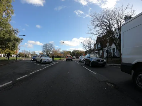
Bank House
Restaurant · European, British
11 High Street, Chislehurst
We,Th 18:00-22:00; Fr,Sa 12:00-23:00; Su 12:00-18:00; Mo,Tu off
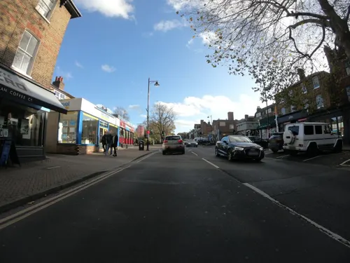
Caffè Nero
Cafe · Coffee Shop
12 High Street, Chislehurst
Mo-Fr 07:30-17:30; Sa 07:30-18:00; Su 07:30-17:00


62 more on the map.
History
The name "Chislehurst" is derived from the Saxon words cisel, "gravel", and hyrst, "wooded hill".
The Walsingham family, including Christopher Marlowe's patron, Sir Thomas Walsingham and Queen Elizabeth I's spymaster, Francis Walsingham, had a home in Scadbury Park, now a nature reserve in which the ruins of the house can still be seen.
A water tower used to straddle the road from Chislehurst to Bromley until it was demolished in 1963 as one of the last acts of the Chislehurst and Sidcup UDC. It marked the entrance to the Wythes Estate in Bickley, but its narrow archway meant that double-decker buses were not able to be used on the route.
From the History section of Chislehurst on Wikipedia, under CC BY-SA 4.0.
More about Chislehurst
Geography
Chislehurst is largely a residential area. Chislehurst West, previously known as "Pricking" or "Prickend", includes the biggest of the ponds and the High Street.
Chislehurst is one of the starting points for the Green Chain Walk, linking to places such as Crystal Palace, Erith, the Thames Barrier and Thamesmead.
Chislehurst Common (and nearby St Paul's Cray Common) were saved from development in 1888 following campaigns by local residents. They were a popular destination for bank holiday trips in the early 20th century, and now provide a valuable green space. Nearby Petts Wood, Hawkwood and Scadbury have also been preserved as open spaces following local campaigns.
From the Wikipedia article Chislehurst, under CC BY-SA 4.0.
Notable people from Chislehurst
 Francis WalsinghamEnglish spy, diplomat and politician (1532-1590)Photo: Attributed to John de Critz, Public domain
 Ivor Forbes GuestBritish historian (1920–2018)Photo: FunkyCanute, CC BY-SA 3.0
 Esmee HawkeyBritish racing driverPhoto: Matt Buck, CC BY-SA 2.0
 Mark BurgessBritish artistPhoto: Marcus civis, CC BY-SA 3.0
 Frankie RaymondBritish association football player (born 1992)Photo: James Boyes from UK, CC BY 2.0
- Siouxsie SiouxBritish singer
- Malcolm CampbellEnglish racing driver and speed record holder (1885–1948)
- Paul Cavanaghactor (1888-1964)
- Nicholas BaconEnglish politician (1510-1579)
- John Patrick Micklethwait BrenanBritish botanist (1917-1985)
- F. Tennyson JesseBritish criminologist and writer (1888–1958)
- Patrick Devlin, Baron DevlinBritish judge and jurist (1905-1992)
Born in Chislehurst, according to Wikidata (CC0). Each name links to its Wikipedia article.
Where to stay2
Churches and places of worship28
Shopping5
Gas and EV charging3
Schools, colleges and libraries26
St Peter and St Paul Catholic Primary School
School · Roman Catholic · 1.1 mi
St Paul's Wood Hill, Orpington
Healthcare4
Map of Chislehurst
191 places. The map loads OpenStreetMap tiles when you open it.
Getting there and nearby towns
London Biggin Hill Airport (BQH) is the nearest airport with scheduled flights listed in OpenStreetMap, 6 miles away.
- Sidcup 2 mi northeast, about 3 min by car
- Orpington 3 mi southeast, about 5 min by car
- Bexley 4 mi northeast, about 6 min by car
- Hayes 4 mi southwest, about 6 min by car
- Kidbrooke 4 mi northwest, about 6 min by car
- Plumstead 5 mi north, about 7 min by car
- Swanley 5 mi east, about 8 min by car
- West Wickham 5 mi southwest, about 8 min by car
- Shirley 6 mi southwest, about 9 min by car
- Croydon 8 mi west, about 12 min by car
Drive times are estimates from straight-line distance, not routes.
Towns near Chislehurst


Keep exploring
Local news
Headlines from INDB.
Reviews, tips and questions
Loading what members have shared...
Sources and licences
- GeoNames (CC BY 4.0): population, coordinates, regions and time zone
- Mapillary (see each image): photos
- OpenStreetMap contributors (ODbL 1.0): places, airports, map data
- Wikidata (CC0 1.0): elevation, founding date, time zone, website, landmarks and historic places
- Wikimedia Commons (see each image): photos
- Wikipedia (CC BY-SA 4.0): overview and history text
Photo credits
- Eltham highstreet 3, PeterEltham, CC BY-SA 3.0
- Churchill Theatre, Back ache, CC BY-SA 4.0
- Bethlem Royal Hospital Main building view 1, SLaMNHSFT, CC BY-SA 3.0
- Bromley Parish Church Memorial 2, Back ache, CC BY-SA 4.0
- Bromley War Memorial (Southwest View - 03), Doyle of London, CC BY-SA 4.0
- 1212906 II Star ELTHAM COURT (ELTHAM PALACE), COURT YARD, from SW Greenwich London 20250610 0005, Tilman2007, CC BY-SA 4.0
- Scadbury Park fields, Dudley Miles, CC0
- Birdbrook Road Nature Reserve 4, Dudley Miles, CC BY-SA 4.0
- Burnt Ash Pond, Dudley Miles, CC BY-SA 3.0
- Five Arches, Foots Cray Meadows, Midnightblueowl at English Wikipedia, CC BY-SA 3.0
- Horn Park playground, Carlwev, CC BY-SA 4.0
- Orpington All Saints Church CG, CarolGray at English Wikipedia, CC BY-SA 3.0
- St John the Baptist Church Tower in Eltham, Chris Roberts, CC BY-SA 4.0
- Oast house adjacent to St Botolphs' Church, Ruxley, Ethan Doyle White, CC BY-SA 4.0
- Sidcup Place, Ethan Doyle White, CC BY-SA 4.0
- The Bulls Head Hotel Chislehurst (46890657825), John K Thorne from Dor, CC0
- Chislehurst War Memorial (02), Ethan Doyle White, CC BY-SA 4.0
- Northern Side of the Sidcup War Memorial, Ethan Doyle White, CC BY-SA 4.0
- Willett memorial, P Ingerson at English Wikipedia, Public domain
- Downham Woodland Walk 3, Dudley Miles, CC BY-SA 3.0
- Bromley Blues Club at the Bromley Little Theatre, Back ache, CC BY-SA 4.0
- Chinbrook Meadows (6887366056), rjp from London, UK, CC BY 2.0
- Street-level photo, jethro10, CC BY-SA 4.0
- Street-level photo, jethro10, CC BY-SA 4.0
- Street-level photo, wasd42, CC BY-SA 4.0
- Street-level photo, wasd42, CC BY-SA 4.0
- Street-level photo, tallguy, CC BY-SA 4.0
- Street-level photo, tallguy, CC BY-SA 4.0
- Street-level photo, tallguy, CC BY-SA 4.0
- Street-level photo, wibbit, CC BY-SA 4.0
- Street-level photo, tallguy, CC BY-SA 4.0
- Street-level photo, paulbiv, CC BY-SA 4.0
- Street-level photo, wasd42, CC BY-SA 4.0
- Street-level photo, wasd42, CC BY-SA 4.0
- Street-level photo, tallguy, CC BY-SA 4.0
- Street-level photo, wibbit, CC BY-SA 4.0
- Street-level photo, tallguy, CC BY-SA 4.0
- Street-level photo, tallguy, CC BY-SA 4.0
- Street-level photo, tallguy, CC BY-SA 4.0
- Street-level photo, tallguy, CC BY-SA 4.0


Page built November 10, 2026. Spotted a mistake? Tell us or suggest a place.