


Why visit Byram
Townapedia lists 14 museums and landmarks, 9 parks and trails, 46 places to eat, 2 places to stay and 2 attractions in and around town.
Highlights include Ferry Bridge, Pontefract Castle, Pontefract Museum and Fairburn Ings RSPB reserve.
Weather in Byram
Forecast from MET Norway (CC BY 4.0). Full forecast
About Byram
Byram is a village in the county of North Yorkshire, England. It lies 3 miles (4.8 km) east of Castleford, across the River Aire in West Yorkshire. Byram is the principal settlement in the civil parish of Byram cum Sutton.
From the Wikipedia article Byram, North Yorkshire (this version), under CC BY-SA 4.0.
Things to do2
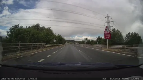
Ferry Bridge
Bridge · 0.6 mi
Grade I listed bridge in Ferrybridge, West Yorkshire, England

Museums and landmarks14

Pontefract Castle
Museum · 2.6 mi
Castle in West Yorkshire, England, UK
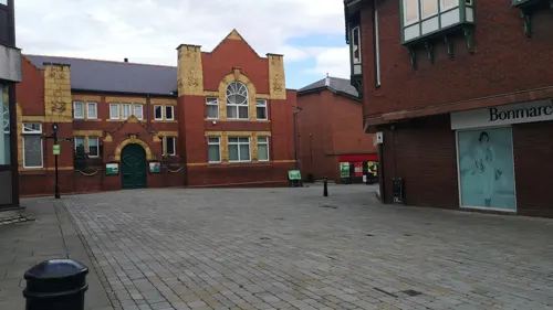
Pontefract Museum
Museum · 3.0 mi
Museum in Pontefract, West Yorkshire, United Kingdom
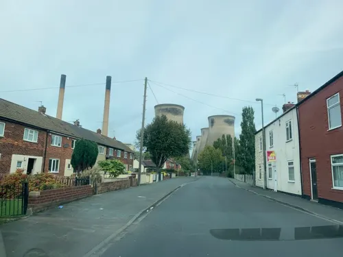
Battle of Ferrybrige
Monument and historic site · 0.9 mi
Part of the Wars of the Roses; preliminary to the Battle of Towton; indecisive


2 more on the map.
Parks, trails and playgrounds9

Fairburn Ings RSPB reserve
Park · 2.7 mi
RSPB nature reserve in the United Kingdom


Restaurants and cafes46
The Turnpike
Bar and pub · British · 1.6 mi
Pontefract Road, Knottingley



34 more on the map.
Where to stay2
Churches and places of worship19
Shopping3
Gas and EV charging3
Schools, colleges and libraries8
Healthcare3
Map of Byram
109 places. The map loads OpenStreetMap tiles when you open it.
Getting there and nearby towns
Leeds Bradford Airport (LBA) is the nearest airport with scheduled flights listed in OpenStreetMap, 19 miles away.
- Knottingley 1 mi south, about 2 min by car
- Ferrybridge 1 mi southwest, about 2 min by car
- Pontefract 3 mi southwest, about 5 min by car
- Monk Fryston 3 mi north, about 4 min by car
- Darrington 3 mi south, about 5 min by car
- Castleford 4 mi west, about 7 min by car
- Featherstone 5 mi southwest, about 8 min by car
- Kippax 5 mi northwest, about 9 min by car
- Low Ackworth 6 mi southwest, about 9 min by car
- Garforth 7 mi northwest, about 11 min by car
Drive times are estimates from straight-line distance, not routes.
Towns near Byram


Keep exploring
Local news
Headlines from INDB.
Reviews, tips and questions
Loading what members have shared...
Sources and licences
- GeoNames (CC BY 4.0): population, coordinates, regions and time zone
- Mapillary (see each image): photos
- OpenStreetMap contributors (ODbL 1.0): places, airports, map data
- Wikidata (CC0 1.0): elevation, founding date, time zone, website, landmarks and historic places
- Wikimedia Commons (see each image): photos
- Wikipedia (CC BY-SA 4.0): overview and history text
Photo credits
- Pontefract Castle, Unknown author, Public domain
- All Saints, Pontefract (27364027412), Tim Green from Bradford, CC BY 2.0
- Methodist Chapel, Monk Fryston (former) (8048130815), Tim Green from Bradford, CC BY 2.0
- Micklegate Methodist Church, Pontefract (1), Rept0n1x, CC BY-SA 3.0
- St Botolph, Knottingley, Tim Green, CC BY 2.0
- War Memorial, Burton Salmon, Alan Murray-Rust, CC BY-SA 2.0
- Street-level photo, gmc, CC BY-SA 4.0
- Street-level photo, humez, CC BY-SA 4.0
- Street-level photo, gmc, CC BY-SA 4.0
- Street-level photo, cuttlebug, CC BY-SA 4.0
- Street-level photo, cuttlebug, CC BY-SA 4.0
- Street-level photo, cuttlebug, CC BY-SA 4.0
- Street-level photo, gmc, CC BY-SA 4.0
- Street-level photo, humez, CC BY-SA 4.0
- Street-level photo, humez, CC BY-SA 4.0
- Street-level photo, cuttlebug, CC BY-SA 4.0
- Street-level photo, cuttlebug, CC BY-SA 4.0
- Street-level photo, cuttlebug, CC BY-SA 4.0
- Street-level photo, gmc, CC BY-SA 4.0
- Street-level photo, rskedgell, CC BY-SA 4.0
- Street-level photo, humez, CC BY-SA 4.0
- Street-level photo, humez, CC BY-SA 4.0
- Street-level photo, cuttlebug, CC BY-SA 4.0
- Street-level photo, inspec1951, CC BY-SA 4.0
- Street-level photo, cuttlebug, CC BY-SA 4.0
- Street-level photo, cuttlebug, CC BY-SA 4.0
- Street-level photo, humez, CC BY-SA 4.0
Page built November 10, 2026. Spotted a mistake? Tell us or suggest a place.