


Why visit Croston
Townapedia lists 10 museums and landmarks, 3 parks and trails, 9 places to eat and 1 place to stay in and around town.
Highlights include Smithy Cottage, Iron Barn Farmhouse, Bank Hall Gardens and Mere Sands Wood.
Weather in Croston
Forecast from MET Norway (CC BY 4.0). Full forecast
About Croston
Croston is a village and civil parish near Chorley in Lancashire, England. The River Yarrow flows through the village. The population of the civil parish taken at the 2021 Census was 3,098.
From the Wikipedia article Croston (this version), under CC BY-SA 4.0.
Photos of Croston

Museums and landmarks10

Rufford Old Hall
Museum · 2.3 mi
Grade I listed historic house museum in Lancashire, England, UK


Parks, trails and playgrounds3

Bank Hall Gardens
Park · 1.9 mi
Immediate grounds belonging to the above

Restaurants and cafes9
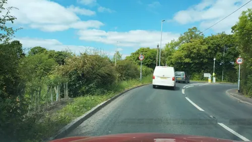
Highfield Restaurant
Restaurant · International · 0.9 mi
Southport Road, Leyland
Su-Fr 10:00-22:30; Sa 10:00-23:00
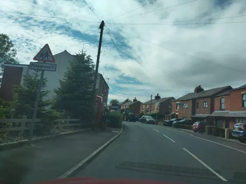
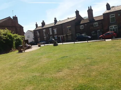
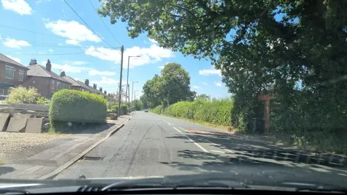

Twin Lakes Velo Cafe
Cafe · 0.4 mi
Brickcroft Lane, Leyland
Mo-Su 10:00-15:00,Sa 3:30-6:30


Where to stay1

History
Croston was founded in the 7th century when St Aidan arrived at the riverside settlements. In the absence of a church, a cross was erected as a place of worship. The name is derived from the two Old English words 'cross' and 'tūn' (town/homestead/village) and is unique to the village.
The parish of Croston was formerly far larger than it is today. It included Chorley, Much Hoole, Rufford, Bretherton, Mawdesley, Tarleton, Hesketh Bank, Bispham, Walmer Bridge and Ulnes Walton. These became independent parishes as a result of a series of separations between 1642 and 1821.
A charter granted by Edward I in 1283 permitted an annual medieval fair and market to be held on the village green. Pre-20th Century maps also depict a castle which is believed to have been of a wooden construction because there is no evidence of a stone structure.
Croston is twinned with the French town of Azay le Rideau, just south west of Tours, France. Azay boasts a French Renaissance château, one of the famous châteaux of the Loire, and is a popular tourist hotspot.
From the History section of Croston on Wikipedia, under CC BY-SA 4.0.
More about Croston
Education
Bishop Rawstorne Church of England Academy is the secondary school based in the village. It has between 800 and 900 pupils from the ages of 11 to 16.
Andrew Sprake and Simon Humphries from the band Failsafe, who featured in an episode of Inbetweeners, also studied here. The DJ Dave Dawson also studied here. Dave makes the Mind the gap announcements on the Docklands Light Railway.
Croston Old School is now a community resource centre. The building is a Grade II listed building which originates from 1660 but was substantially rebuilt in 1827, when the work was funded by subscriptions. Date stones commemorating both the original build and the rebuild are evident in the first-floor wall. It is located within the churchyard, in the centre of the village at the end of Church Street and next to the church building. Until 1999 the buildings were used as a school. Croston Old School Community Trust's grant from the National Lottery for £481,062 has funded the majority of a scheme to create a community resource centre for Croston. The building provides a large community space with meeting rooms and is the home of the photographic archives of Croston. There is also a pop-up cafe on Wednesday and Thursday mornings.
From the Wikipedia article Croston, under CC BY-SA 4.0.
Notable people from Croston
 Billy HayesEnglish footballer (1895-?)Photo: Unknown Unknown, Public domain
 Thomas NorrisEnglish businessman, art collector, natural historian and astronomer, born at Croston in Lancashire (1765-1852)Photo: Unknown author, CC BY 4.0
- Robert EtheringtonFootballer (1899-1981)
- George RawstorneEnglish cricketer (1895-1962)
- William SilcockBritish cricketer (1868-1933)
- Sir John Wright, 1st BaronetEnglish businessman
Born in Croston, according to Wikidata (CC0). Each name links to its Wikipedia article.
Churches and places of worship7
Shopping1
Gas and EV charging1
Schools, colleges and libraries3
Bretherton Endowed Church of England Voluntary Aided Primary School
School · Anglican · 1.3 mi
South Road, Leyland
Trinity and St Michael's VA CofE/Methodist Primary School
School · Anglican, Methodist
Out Lane, Leyland
Healthcare1
Map of Croston
36 places. The map loads OpenStreetMap tiles when you open it.
Getting there and nearby towns
Warton Aerodrome (WRT) is the nearest airport with scheduled flights listed in OpenStreetMap, 7 miles away.
- Rufford 3 mi southwest, about 4 min by car
- Leyland 4 mi northeast, about 7 min by car
- Clayton-le-Woods 5 mi northeast, about 8 min by car
- Chorley 7 mi east, about 11 min by car
- Preston 8 mi northeast, about 12 min by car
- Skelmersdale 8 mi south, about 12 min by car
- Ormskirk 8 mi southwest, about 13 min by car
- Warton 8 mi northwest, about 12 min by car
- Wigan 10 mi southeast, about 16 min by car
- Southport 10 mi west, about 16 min by car
Drive times are estimates from straight-line distance, not routes.
Towns near Croston


Keep exploring
Local news
Headlines from INDB.
Reviews, tips and questions
Loading what members have shared...
Sources and licences
- GeoNames (CC BY 4.0): population, coordinates, regions and time zone
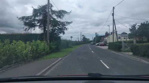
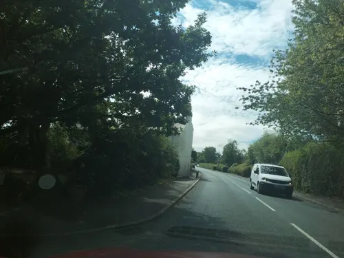
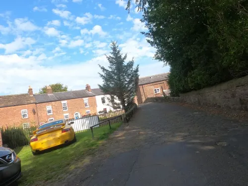
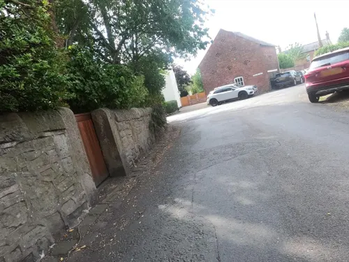
- Mapillary (see each image): photos
- OpenStreetMap contributors (ODbL 1.0): places, airports, map data
- Wikidata (CC0 1.0): elevation, founding date, time zone, website, landmarks and historic places
- Wikimedia Commons (see each image): photos
- Wikipedia (CC BY-SA 4.0): overview and history text
Photo credits
- K6 telephone kiosk, Town Road, Croston, Peter James, CC BY-SA 4.0
- 129 and 133 Station Road, Croston, Peter James, CC BY-SA 4.0
- Lord Nelson, Croston, Raymond Knapman, CC BY-SA 2.0
- 46 Town Road, Croston, Peter James, CC BY-SA 4.0
- 57 Town Road, Croston, Peter James, CC BY-SA 4.0
- 59 and 61 Town Road, Croston, Peter James, CC BY-SA 4.0
- 63 and 65 Town Road, Croston, Peter James, CC BY-SA 4.0
- Bank Hall Snowdrops Feb 2009, Bankhallbretherton, CC BY 3.0
- Mere Sands Wood - the main lake, Andy Mabbett, CC BY-SA 3.0
- St John's Church, Bretherton, Alexander P Kapp, CC BY-SA 2.0
- St Michael's Church, Croston, Phil Platt, CC BY-SA 2.0
- Rufford Old Hall - panoramio, Michael D Beckwith, CC BY 3.0
- Croston Mill Bridge, David Dixon, CC BY-SA 2.0
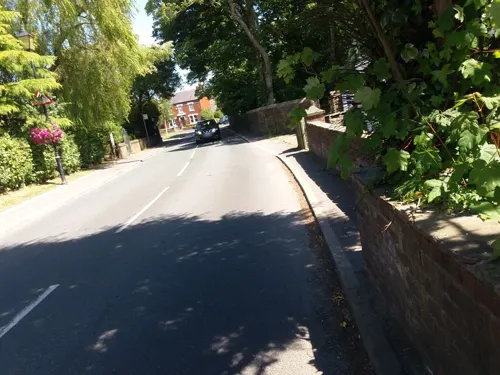
- Street-level photo, davidsong, CC BY-SA 4.0
- Street-level photo, tonys999, CC BY-SA 4.0
- Street-level photo, tonys999, CC BY-SA 4.0
- Street-level photo, tonys999, CC BY-SA 4.0
- Street-level photo, davidsong, CC BY-SA 4.0
- Street-level photo, tonys999, CC BY-SA 4.0
- Street-level photo, tonys999, CC BY-SA 4.0
- Street-level photo, tonys999, CC BY-SA 4.0
- Street-level photo, tonys999, CC BY-SA 4.0
- Street-level photo, tonys999, CC BY-SA 4.0
- Street-level photo, tonys999, CC BY-SA 4.0
- Street-level photo, tonys999, CC BY-SA 4.0
- Street-level photo, tonys999, CC BY-SA 4.0
- Street-level photo, mappo2, CC BY-SA 4.0
- Street-level photo, tonys999, CC BY-SA 4.0
- Street-level photo, tonys999, CC BY-SA 4.0
- Street-level photo, tonys999, CC BY-SA 4.0


Page built November 10, 2026. Spotted a mistake? Tell us or suggest a place.