


Why visit Rufford
Townapedia lists 3 museums and landmarks, 7 parks and trails and 4 places to eat in and around town.
Highlights include Rufford Old Hall, Rufford New Hall, Bank Hall Gardens and Mere Sands Wood.
Weather in Rufford
Forecast from MET Norway (CC BY 4.0). Full forecast
About Rufford
Rufford is a village in West Lancashire, England, where the Leeds and Liverpool Canal, Liverpool, Ormskirk and Preston Railway, the A59 and the River Douglas meet.
From the Wikipedia article Rufford, Lancashire (this version), under CC BY-SA 4.0.
Photos of Rufford


Museums and landmarks3

Rufford Old Hall
Monument and historic site
Grade I listed historic house museum in Lancashire, England, UK
Liverpool Road, Ormskirk


Parks, trails and playgrounds7

Bank Hall Gardens
Park · 2.9 mi
Immediate grounds belonging to the above




Restaurants and cafes4
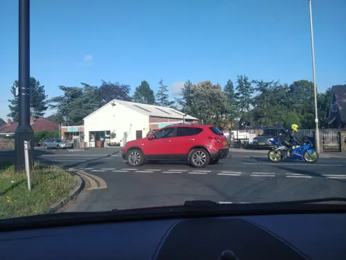
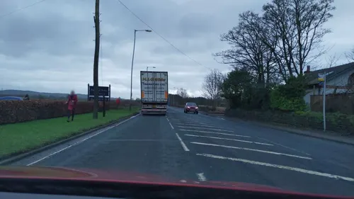
Rufford Arms Hotel
Restaurant · 0.8 mi
380 Liverpool Road, Ormskirk
Mo-Fr 07:00-21:00; Sa 08:00-21:30; Su 08:00-20:30

Churches and places of worship7
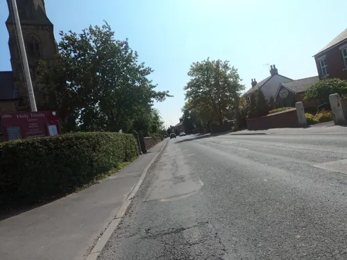
Holy Trinity Church, Tarleton
Church · 3.1 mi
Church in United Kingdom

St John the Baptist's Church, Bretherton
Church · 3.2 mi
Grade II listed church in Bretherton, Lancashire, England, UK

St John's Church, Burscough
Church · 2.2 mi
Church in Burscough, West Lancashire, England,UK
St Mary's Church, Tarleton
Church · 2.9 mi
Church in Tarleton, West Lancashire, England,UK

Burscough Methodist Church
Church · 2.4 mi
Church building in Burscough, United Kingdom
St Peter's Church, Mawdesley
Church · 1.9 mi
Grade II listed church in Mawdesley, Chorley, Lancashire, England, UK
History
Rufford's name derives from the Old English rūh and ford, the rough ford. It was a crossing place over the River Douglas.
Rufford was recorded as Ruchford in 1212, Rufford in 1285, Roughford in 1318, Rughford in 1332 and Roghforth in 1411.
Part of the manor was granted by Richard Bussel, baron of Penwortham to Richard Fitton in the reign of Henry I. In 1278 his descendant and heiress Dame Maude Fitton married Sir William Hesketh. Sir William's grandson married the daughter of Edmund Fitton, who owned the other moiety of the manor which then descended with the Heskeths.
In 1339 Sir William Hesketh was granted a charter for a weekly market and annual fair. He fought at the Battle of Crécy in 1346, and was knight of the shire in 1360.
In the late 15th century the Heskeths built Rufford Hall. It was altered in 1661 and redeveloped in the 1820s. The family built Rufford New Hall in 1760 and enlarged it around 1798–99 when the family left the old hall for the new.
From the History section of Rufford, Lancashire on Wikipedia, under CC BY-SA 4.0.
More about Rufford
Geography
Rufford is 5½ miles north east of Ormskirk and covers 2,996 acres of mostly flat land which rises slightly towards Holmeswood in the north. The soil is loam over sand and much of the land is used for arable farming or pasture. The Leeds and Liverpool Canal and the railway between Liverpool and Preston pass through the township and the River Douglas separates it from Croston.
Mere Sands Wood Nature Reserve, managed by the Wildlife Trust for Lancashire, Manchester and North Merseyside is a situated to the northwest. In medieval times this area was on the edge of Martin Mere and was drained by the Heskeths. Sand from this area was used for glass-making and extraction companies quarried the site between 1974 and 1982 after which it was restored as a nature reserve. The reserve is a Site of Special Scientific Interest, (SSSI), because of its geological features and a Lancashire Biological Heritage Site.
Economy
The village is largely rural with little or no industry. The farmland is grade one agricultural land. In the early 20th century the village was described as "one of the prettiest in South Lancashire" and was a destination for day trips from neighbouring towns. Tourism began in Victorian times and today visitors are attracted by the National Trust property Rufford Old Hall, Mere Sands nature reserve and the marinas on the canal. There are tea shops and cafes in the village, a public house, the Hesketh Arms, and a hotel and restaurant, the Rufford Arms on the outskirts of the village.
From the Wikipedia article Rufford, Lancashire, under CC BY-SA 4.0.
Gas and EV charging1
Schools, colleges and libraries1
Map of Rufford
23 places. The map loads OpenStreetMap tiles when you open it.
Getting there and nearby towns
Warton Aerodrome (WRT) is the nearest airport with scheduled flights listed in OpenStreetMap, 8 miles away.
- Ormskirk 5 mi southwest, about 9 min by car
- Skelmersdale 6 mi south, about 10 min by car
- Leyland 7 mi northeast, about 11 min by car
- Clayton-le-Woods 7 mi northeast, about 12 min by car
- Southport 8 mi west, about 13 min by car
- Chorley 8 mi east, about 13 min by car
- Warton 9 mi north, about 14 min by car
- Wigan 10 mi southeast, about 16 min by car
- Preston 10 mi northeast, about 16 min by car
- Maghull 10 mi southwest, about 15 min by car
Drive times are estimates from straight-line distance, not routes.
Towns near Rufford


Keep exploring
Local news
Headlines from INDB.
Reviews, tips and questions
Loading what members have shared...
Sources and licences
- GeoNames (CC BY 4.0): population, coordinates, regions and time zone
- Mapillary (see each image): photos
- OpenStreetMap contributors (ODbL 1.0): places, airports, map data
- Wikidata (CC0 1.0): elevation, founding date, time zone, website, landmarks and historic places
- Wikimedia Commons (see each image): photos
- Wikipedia (CC BY-SA 4.0): overview and history text
Photo credits
- Bank Hall Snowdrops Feb 2009, Bankhallbretherton, CC BY 3.0
- Mere Sands Wood - the main lake, Andy Mabbett, CC BY-SA 3.0
- St John's Church, Bretherton, Alexander P Kapp, CC BY-SA 2.0
- Burscough Parish Church, Small-town hero, Public domain
- Neale(1818) p2.234 - Rufford Hall, Lancashire, John Preston Neale, Public domain
- Cottage, coach house and stables at Rufford Old Hall, Peter James, CC BY-SA 4.0
- View from the bench (OpenBenches 7100-1), sjorford, CC BY-SA 4.0
- Long shot of the bench (OpenBenches 7100), sjorford, CC BY-SA 4.0
- Rufford Old Hall - panoramio, Michael D Beckwith, CC BY 3.0
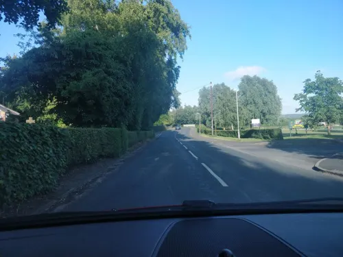
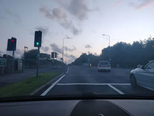
- Street-level photo, davidsong, CC BY-SA 4.0
- Street-level photo, davidsong, CC BY-SA 4.0
- Street-level photo, tonys999, CC BY-SA 4.0
- Street-level photo, davidsong, CC BY-SA 4.0
- Street-level photo, tonys999, CC BY-SA 4.0
- Street-level photo, davidsong, CC BY-SA 4.0
- Street-level photo, davidsong, CC BY-SA 4.0
Page built November 10, 2026. Spotted a mistake? Tell us or suggest a place.