


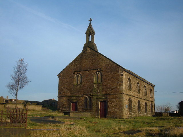


Why visit Delph
Townapedia lists 10 museums and landmarks, 7 parks and trails, 46 places to eat, 2 places to stay and 4 attractions in and around town.
Highlights include Albion Farm Shop, Crompton War Memorial and Saddleworth Museum and Gallery.
Weather in Delph
Forecast from MET Norway (CC BY 4.0). Full forecast
About Delph
Delph (Old English (ge)delf a quarry) is a village in the civil parish of Saddleworth in the Metropolitan Borough of Oldham, in Greater Manchester, England. Historically within the West Riding of Yorkshire, it lies amongst the Pennines on the River Tame below the village of Denshaw, four miles (six kilometres) east-northeast of Oldham and 1+3⁄4 miles (3 km) north-northwest of Uppermill.
From the Wikipedia article Delph (this version), under CC BY-SA 4.0.
Things to do4
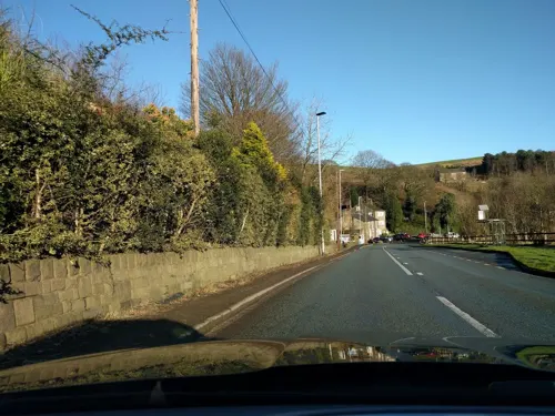

Museums and landmarks10

Crompton War Memorial
Monument and historic site · 3.3 mi
War memorial in Shaw and Crompton, Oldham, Greater Manchester, England, UK
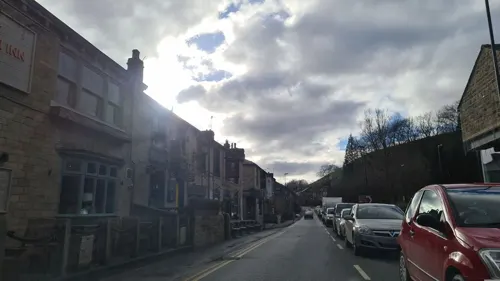
Saddleworth Museum and Gallery
Museum · 1.4 mi
Museum in Uppermill, Oldham, Greater Manchester, England, United Kingdom


Castleshaw Roman fort
Monument and historic site · 1.3 mi
Roman fort in Saddleworth, Greater Manchester, England, UK
Parks, trails and playgrounds7



Restaurants and cafes46
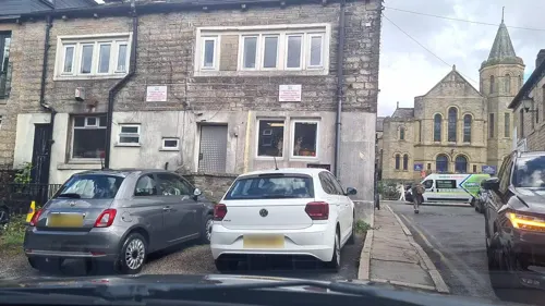




34 more on the map.
More about Delph
Arts and culture
The village is home to one of the Saddleworth Whit Friday brass band contests, with in the region of seventy-five bands from across the UK and beyond marching down the main street at five-minute intervals on the evening of the contest which often continues into the early hours. In the village of Dobcross, a Henry Livings memorial prize is open to bands who play on any of the morning's walks on Whit Friday.
It is also home to the Millgate Arts Centre, the home of the Saddleworth Players. This group puts on six plays a year, as well as hosting a number of other events throughout the year.
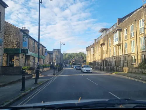
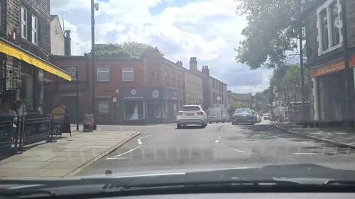
The main street running through the centre of Delph was used in some of the external shots of the 2001 feature film The Parole Officer, starring Steve Coogan, Om Puri and Jenny Agutter.
It was used in the filming of the Whit Friday scene in the 1996 film Brassed Off.
The legendary landmark above Delph 'St Thomas Church at The Heights' was featured in the blockbuster movie A Monster Calls starring Liam Neeson.
Delph is mentioned in the song "This One's For Now" by the band Half Man Half Biscuit, on their 2014 album Urge for Offal.
From the Wikipedia article Delph, under CC BY-SA 4.0.
Notable people from Delph
 Alfred BaxterBritish weightlifterPhoto: Unknown author Unknown author, Public domain
- Joseph MallalieuBritish politician (1908-1980)
- Jack LatchfordEnglish cricketer (1909-1980)
- Albert MallalieuEnglish cricketer (1904-1991)
Born in Delph, according to Wikidata (CC0). Each name links to its Wikipedia article.
Where to stay2
Churches and places of worship12
Shopping7
Schools, colleges and libraries6
Healthcare3
Map of Delph
97 places. The map loads OpenStreetMap tiles when you open it.
Getting there and nearby towns
Manchester Airport (MAN) is the nearest airport with scheduled flights listed in OpenStreetMap, 19 miles away.
- Dobcross 1 mi south, about 1 min by car
- Diggle 1 mi east, about 1 min by car
- Saddleworth 1 mi south, about 2 min by car
- Uppermill 1 mi south, about 2 min by car
- Lees 3 mi southwest, about 5 min by car
- Shaw 3 mi west, about 4 min by car
- Royton 4 mi west, about 7 min by car
- Oldham 5 mi southwest, about 7 min by car
- Chadderton 5 mi west, about 8 min by car
- Stalybridge 6 mi south, about 10 min by car
Drive times are estimates from straight-line distance, not routes.
Towns near Delph


Keep exploring
Local news
Headlines from INDB.
Reviews, tips and questions
Loading what members have shared...
Sources and licences
- GeoNames (CC BY 4.0): population, coordinates, regions and time zone
- Mapillary (see each image): photos
- OpenStreetMap contributors (ODbL 1.0): places, airports, map data
- Wikidata (CC0 1.0): elevation, founding date, time zone, website, landmarks and historic places
- Wikimedia Commons (see each image): photos
- Wikipedia (CC BY-SA 4.0): overview and history text
Photo credits
- 2 and 4 Oldham Road, Delph, Steven Haslington, CC BY-SA 2.0
- Crompton War Memorial (1), Rept0n1x, CC BY-SA 2.0
- St Thomas, Lees, David Dixon, CC BY-SA 2.0
- Friarmere St. Thomas, Michael Ely, CC BY-SA 2.0
- High Street, Uppermill, Michael Fox, CC BY-SA 2.0
- Clock (23225622193), oatsy40, CC BY 2.0
- Street-level photo, mappo2, CC BY-SA 4.0
- Street-level photo, mappo2, CC BY-SA 4.0
- Street-level photo, mappo2, CC BY-SA 4.0
- Street-level photo, mappo2, CC BY-SA 4.0
- Street-level photo, mappo2, CC BY-SA 4.0
- Street-level photo, mappo2, CC BY-SA 4.0
- Street-level photo, mappo2, CC BY-SA 4.0
- Street-level photo, mappo2, CC BY-SA 4.0
- Street-level photo, mappo2, CC BY-SA 4.0
- Street-level photo, mappo2, CC BY-SA 4.0
- Street-level photo, mappo2, CC BY-SA 4.0
- Street-level photo, mappo2, CC BY-SA 4.0
- Street-level photo, mappo2, CC BY-SA 4.0
- Street-level photo, mappo2, CC BY-SA 4.0
- Street-level photo, mappo2, CC BY-SA 4.0
- Street-level photo, mappo2, CC BY-SA 4.0
- Street-level photo, floatingboater, CC BY-SA 4.0
- Street-level photo, mappo2, CC BY-SA 4.0
- Street-level photo, mappo2, CC BY-SA 4.0
- Street-level photo, mappo2, CC BY-SA 4.0
- Street-level photo, mappo2, CC BY-SA 4.0
- Street-level photo, mappo2, CC BY-SA 4.0
- Street-level photo, mappo2, CC BY-SA 4.0
- Street-level photo, mappo2, CC BY-SA 4.0
- Street-level photo, mappo2, CC BY-SA 4.0
- Street-level photo, mappo2, CC BY-SA 4.0
Page built November 10, 2026. Spotted a mistake? Tell us or suggest a place.