
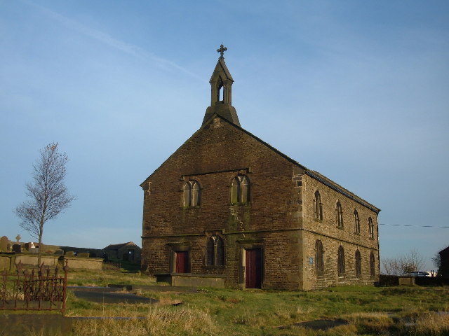


Why visit Diggle
Townapedia lists 10 museums and landmarks, 6 parks and trails, 44 places to eat, 2 places to stay and 4 attractions in and around town.
Highlights include Saddleworth Museum and Gallery and Saddleworth Museum.
Weather in Diggle
Forecast from MET Norway (CC BY 4.0). Full forecast
About Diggle
Diggle is a village in the civil parish of Saddleworth, in the Metropolitan Borough of Oldham, Greater Manchester, England. It lies on the moorlands of the Pennine hills.
From the Wikipedia article Diggle, Greater Manchester (this version), under CC BY-SA 4.0.
Things to do4

Museums and landmarks10
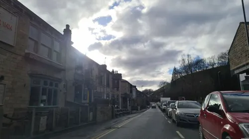
Saddleworth Museum and Gallery
Museum · 1.5 mi
Museum in Uppermill, Oldham, Greater Manchester, England, United Kingdom


Castleshaw Roman fort
Monument and historic site · 1.1 mi
Roman fort in Saddleworth, Greater Manchester, England, UK
Parks, trails and playgrounds6



Restaurants and cafes44

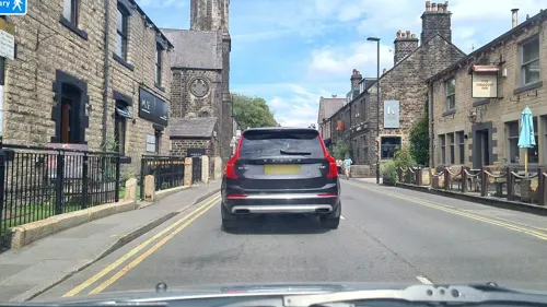
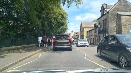
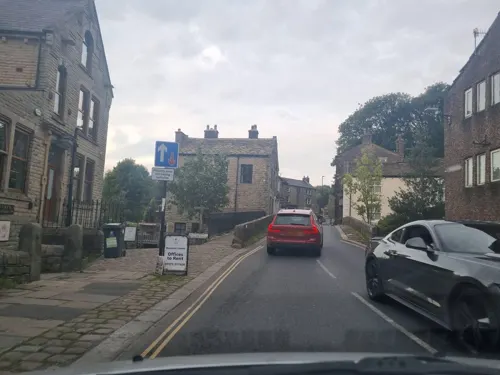

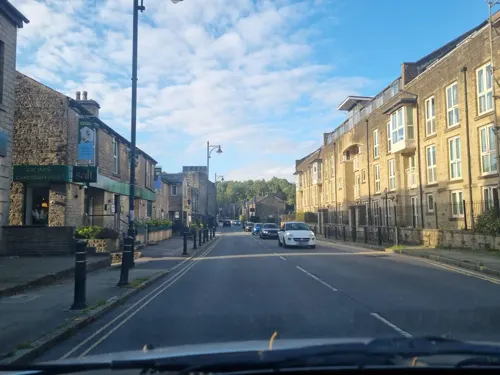
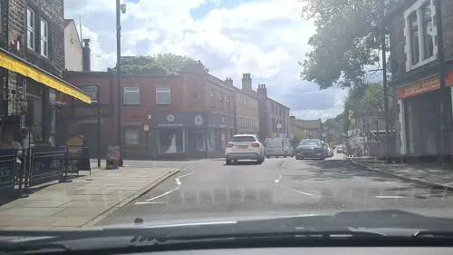



32 more on the map.
History
The name Diggle comes from the Saxon word degle meaning "valley". Like many of Saddleworth's villages, it traces its history back to a collection of hamlets.
The Gate pub and a post office/off-licence is a listed building.
From the History section of Diggle, Greater Manchester on Wikipedia, under CC BY-SA 4.0.
Where to stay2
Churches and places of worship10
Shopping7
Schools, colleges and libraries6
Healthcare3
Map of Diggle
92 places. The map loads OpenStreetMap tiles when you open it.
Getting there and nearby towns
Manchester Airport (MAN) is the nearest airport with scheduled flights listed in OpenStreetMap, 19 miles away.
- Saddleworth 1 mi south, about 2 min by car
- Uppermill 1 mi south, about 2 min by car
- Lees 4 mi southwest, about 6 min by car
- Shaw 4 mi west, about 6 min by car
- Oldham 5 mi west, about 9 min by car
- Royton 5 mi west, about 8 min by car
- Chadderton 6 mi west, about 10 min by car
- Stalybridge 6 mi southwest, about 10 min by car
- Ashton-under-Lyne 7 mi southwest, about 11 min by car
- Rochdale 7 mi northwest, about 12 min by car
Drive times are estimates from straight-line distance, not routes.
Towns near Diggle


Keep exploring
Local news
Headlines from INDB.
Reviews, tips and questions
Loading what members have shared...
Sources and licences
- GeoNames (CC BY 4.0): population, coordinates, regions and time zone
- Mapillary (see each image): photos
- OpenStreetMap contributors (ODbL 1.0): places, airports, map data
- Wikidata (CC0 1.0): elevation, founding date, time zone, website, landmarks and historic places
- Wikimedia Commons (see each image): photos
- Wikipedia (CC BY-SA 4.0): overview and history text
Photo credits
- Friarmere St. Thomas, Michael Ely, CC BY-SA 2.0
- High Street, Uppermill, Michael Fox, CC BY-SA 2.0
- Ploddinon (42217793681), Tim Green from Bradford, UK, CC BY 2.0
- Street-level photo, mappo2, CC BY-SA 4.0
- Street-level photo, mappo2, CC BY-SA 4.0
- Street-level photo, mappo2, CC BY-SA 4.0
- Street-level photo, mappo2, CC BY-SA 4.0
- Street-level photo, mappo2, CC BY-SA 4.0
- Street-level photo, mappo2, CC BY-SA 4.0
- Street-level photo, mappo2, CC BY-SA 4.0
- Street-level photo, mappo2, CC BY-SA 4.0
- Street-level photo, mappo2, CC BY-SA 4.0
- Street-level photo, mappo2, CC BY-SA 4.0
- Street-level photo, mappo2, CC BY-SA 4.0
- Street-level photo, mappo2, CC BY-SA 4.0
- Street-level photo, mappo2, CC BY-SA 4.0
- Street-level photo, mappo2, CC BY-SA 4.0
- Street-level photo, mappo2, CC BY-SA 4.0
- Street-level photo, mappo2, CC BY-SA 4.0
- Street-level photo, mappo2, CC BY-SA 4.0
- Street-level photo, mappo2, CC BY-SA 4.0
- Street-level photo, mappo2, CC BY-SA 4.0
- Street-level photo, mappo2, CC BY-SA 4.0
- Street-level photo, mappo2, CC BY-SA 4.0
- Street-level photo, mappo2, CC BY-SA 4.0
- Street-level photo, mappo2, CC BY-SA 4.0
- Street-level photo, mappo2, CC BY-SA 4.0
- Street-level photo, mappo2, CC BY-SA 4.0
Page built November 10, 2026. Spotted a mistake? Tell us or suggest a place.