


Why visit Dobcross
Townapedia lists 8 museums and landmarks, 8 parks and trails, 55 places to eat, 1 place to stay and 7 attractions in and around town.
Highlights include Albion Farm Shop, Pots and Pans Hill, Buckton Castle and Pots and Pans.
Weather in Dobcross
Forecast from MET Norway (CC BY 4.0). Full forecast
About Dobcross
Dobcross is a village in the civil parish of Saddleworth in the Metropolitan Borough of Oldham in Greater Manchester, England. It is in a valley in the South Pennines, along the course of the River Tame and the Huddersfield Narrow Canal, 4.2 miles (6.8 km) east-northeast of Oldham and 13 miles (21 km) west-southwest of Huddersfield.
From the Wikipedia article Dobcross (this version), under CC BY-SA 4.0.
Photos of Dobcross


Things to do7
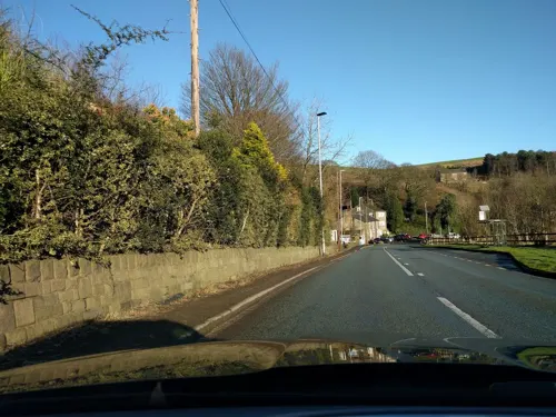


Harrops
Farm and orchard · 1.5 mi
135 Chew Valley Road, Oldham
Mo-Fr 08:00-17:00; Sa 08:00-14:00

Museums and landmarks8

Buckton Castle
Monument and historic site · 3.1 mi
12th-century castle in Mossley, Greater Manchester, England, UK

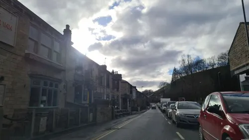
Saddleworth Museum and Gallery
Museum · 0.7 mi
Museum in Uppermill, Oldham, Greater Manchester, England, United Kingdom


Castleshaw Roman fort
Monument and historic site · 1.9 mi
Roman fort in Saddleworth, Greater Manchester, England, UK
Parks, trails and playgrounds8




Restaurants and cafes55

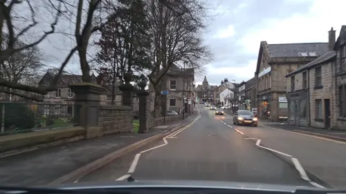
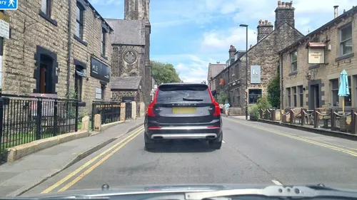
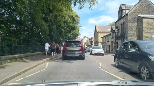
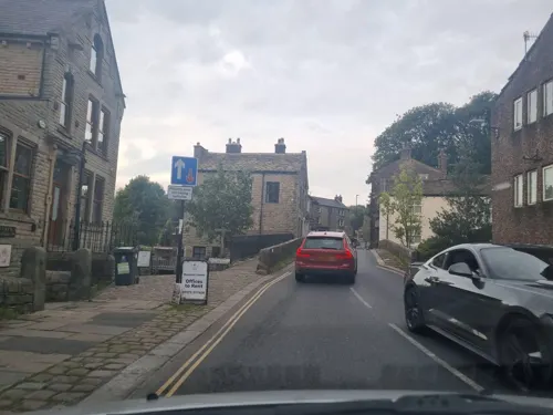



43 more on the map.
History
Dobcross is located at an ancient crossing point of two ancient routes through Saddleworth, one formerly used by trans Pennines traffic between Lancashire and Yorkshire. The name probably originates from ‘Daub’Cross - A muddy crossroads.
At the crossing point of the River Tame lies the site of Walk Mill, a seventeenth century fulling mill. The name derives from the way cloth was once trodden before the introduction of mechanical stocks by which the cloth was beaten with fulling hammers to felt and thicken it.
Beginning with Richard, the Lawton family ran the mill from the mid-seventeenth century. The size of the business can be estimated in that, by 1792, Saddleworth saw the production of 36,637 cloth pieces. From wool to the innkeeping business, the Lawton family continued to be a prominent family in Dobcross through to the early 19th century.
On the morning of Whit Friday, the traditional Whit Walks, a church procession followed by a service, take place in Saddleworth.
Saddleworth and District Whit Friday Brass Band contests take place every year on the afternoon and evening of Whit Friday.
The playwright Henry Livings (1929–1998) lived in the village and a Henry Livings Memorial Prize is open to bands who have played on any of the morning's walks.
Read more of the history
A former public house in the village, The Nudger, was once owned by the Olympic swimming champion Henry Taylor of Oldham. The pub eventually went bust.
From the History section of Dobcross on Wikipedia, under CC BY-SA 4.0.
Where to stay1
Churches and places of worship14
Shopping10
Schools, colleges and libraries9
Healthcare4
Map of Dobcross
116 places. The map loads OpenStreetMap tiles when you open it.
Getting there and nearby towns
Manchester Airport (MAN) is the nearest airport with scheduled flights listed in OpenStreetMap, 18 miles away.
- Saddleworth 1 mi southeast, about 1 min by car
- Uppermill 1 mi southeast, about 1 min by car
- Diggle 1 mi northeast, about 2 min by car
- Lees 3 mi southwest, about 4 min by car
- Shaw 3 mi west, about 5 min by car
- Oldham 4 mi west, about 7 min by car
- Royton 5 mi west, about 7 min by car
- Chadderton 5 mi west, about 8 min by car
- Stalybridge 5 mi south, about 9 min by car
- Ashton-under-Lyne 6 mi southwest, about 9 min by car
Drive times are estimates from straight-line distance, not routes.
Towns near Dobcross


Keep exploring
Local news
Headlines from INDB.
Reviews, tips and questions
Loading what members have shared...
Sources and licences
- GeoNames (CC BY 4.0): population, coordinates, regions and time zone
- Mapillary (see each image): photos
- OpenStreetMap contributors (ODbL 1.0): places, airports, map data
- Wikidata (CC0 1.0): elevation, founding date, time zone, website, landmarks and historic places
- Wikimedia Commons (see each image): photos
- Wikipedia (CC BY-SA 4.0): overview and history text
Photo credits
- Telephone kiosk, Dobcross, John Topping, CC BY-SA 2.0
- Houses overlooking The Square, Dobcross, John Topping, CC BY-SA 2.0
- Former bank, Dobcross, John Topping, CC BY-SA 2.0
- Woods Lane, Dobcross, Michael Fox, CC BY-SA 2.0
- Dobcross Brass Contest, Donald Judge, CC BY 2.0
- Buckton Castle (5) (28563211972), Richard Nevell from London, United Kingdom, CC BY-SA 2.0
- St Thomas, Lees, David Dixon, CC BY-SA 2.0
- Friarmere St. Thomas, Michael Ely, CC BY-SA 2.0
- Aldermans Hill memorial, Stevekraken, CC BY-SA 4.0
- High Street, Uppermill, Michael Fox, CC BY-SA 2.0
- Delph Brass Band Contest (7327973730), Bryan Ledgard, CC BY 2.0
- Delph Brass Band Contest (7327976228), Bryan Ledgard, CC BY 2.0
- Fungus from underneath (25496335578), oatsy40, CC BY 2.0
- Snow Shovel (15725096274), oatsy40, CC BY 2.0
- Looking towards Manchester from Pots and Pans Hill. Saddleworth, Benjamin Shaw, CC BY-SA 4.0
- Street-level photo, mappo2, CC BY-SA 4.0
- Street-level photo, mappo2, CC BY-SA 4.0
- Street-level photo, mappo2, CC BY-SA 4.0
- Street-level photo, mappo2, CC BY-SA 4.0
- Street-level photo, mappo2, CC BY-SA 4.0
- Street-level photo, mappo2, CC BY-SA 4.0
- Street-level photo, mappo2, CC BY-SA 4.0
- Street-level photo, mappo2, CC BY-SA 4.0
- Street-level photo, mappo2, CC BY-SA 4.0
- Street-level photo, mappo2, CC BY-SA 4.0
- Street-level photo, mappo2, CC BY-SA 4.0
- Street-level photo, mappo2, CC BY-SA 4.0
- Street-level photo, mappo2, CC BY-SA 4.0
- Street-level photo, mappo2, CC BY-SA 4.0
- Street-level photo, mappo2, CC BY-SA 4.0
- Street-level photo, mappo2, CC BY-SA 4.0
- Street-level photo, mappo2, CC BY-SA 4.0
- Street-level photo, mappo2, CC BY-SA 4.0
- Street-level photo, mappo2, CC BY-SA 4.0
- Street-level photo, mappo2, CC BY-SA 4.0
- Street-level photo, mappo2, CC BY-SA 4.0
- Street-level photo, mappo2, CC BY-SA 4.0
- Street-level photo, mappo2, CC BY-SA 4.0
- Street-level photo, mappo2, CC BY-SA 4.0
- Street-level photo, mappo2, CC BY-SA 4.0
- Street-level photo, mappo2, CC BY-SA 4.0
- Street-level photo, floatingboater, CC BY-SA 4.0
- Street-level photo, mappo2, CC BY-SA 4.0


Page built November 10, 2026. Spotted a mistake? Tell us or suggest a place.