


Why visit Marden
Townapedia lists 1 museum or landmark, 8 places to eat, 1 place to stay and 1 attraction in and around town.
Highlights include Marden Farm Shop and The South East Romany Museum.
Weather in Marden
Forecast from MET Norway (CC BY 4.0). Full forecast
About Marden
Marden is a village and civil parish in the Kent borough of Maidstone approximately 8 miles (13 km) south of Maidstone. The civil parish is located on the flood plain of the River Beult, and also includes Chainhurst and the hamlet of Wanshurst Green.
From the Wikipedia article Marden, Kent (this version), under CC BY-SA 4.0.
Things to do1
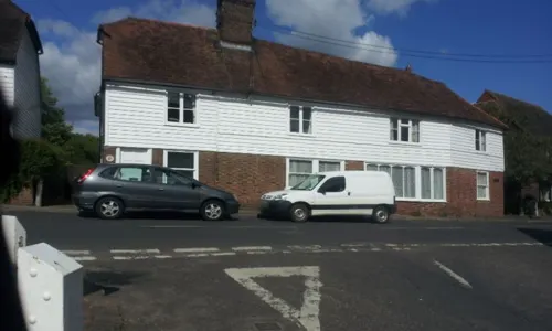
Museums and landmarks1

Restaurants and cafes8
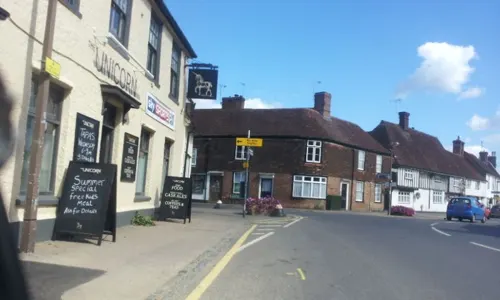
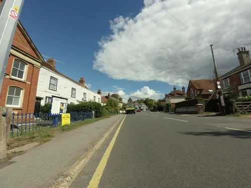



Kebab Fish Knight
Fast food · Burger, Chicken, Fish And Chips, Kebab
3 Church Green
Where to stay1

History
The dense woodland and marshes of the Weald of Kent were littered with acorns and beech mast in autumn making ideal seasonal foraging ground for pigs. The grants by Saxon kings for rights to these pannage areas were known as dens which later came to refer to the herders' camps and ultimately the settlements that grew up there. Maer referred to barren areas of marsh alongside the forest. In time the dens developed into permanent settlements such a Maer den, or clearing beside the marsh.
By 1066 the settlement was recorded as Maere Denn; in 1170, Maeredaen; 1235, Mereden; 1283, Merdenne, and from about 1635 by its present name.
Marden Parish Council covered over a well opposite the village's Maidstone Road junction in 1899 and erected a pump. In 1907, it had to be locked, and then removed, because of contamination of the water by ammonia, nitrates, chlorides and organic matter. The parish pump is depicted on the village sign.
George Rootes, a relative of the Rootes Group founders, operated Rootes' Forge at West End, and the West End Tavern next door.
A Mr Bourne ran Bourne's Forge in the High Street. After it was demolished, Sutton's shop was built on the site and later new housing, the present Sutton Forge.
Read more of the history
On 10 February 1930, a Farman F.63 Goliath crashed at Pagehurst emergency landing ground whilst attempting an emergency landing following structural failure of the starboard tailplane. Two of the six people on board were killed.
In 1933, Marden Fruit Show Society was established by 35 top-fruit growers and their first show was held in October that year at Walton Hall on Pattenden Lane. The prize fruit was sent to London for display at Selfridges. Apart from World War II, and bad frost years, the Society has organised their shows annually ever since.
Marden Fruit Show is now The National Fruit Show and has moved from Pattenden Lane to the Kent Showground at nearby Detling. Entries of apples, pears and cherries come from across Great Britain and mainland Europe.
On 3 July 1944, a German V-1 flying bomb shot down by anti-aircraft fire landed on an army camp in Pattenden Lane, killing 11 and injuring eight. A total of 11 of the flying bombs fell on Marden including another on Pattenden Lane that exploded in a pond.
A World War II Pluto fuel pipeline was constructed through Marden parish. In 2016, a section of the pipe from Gatehouse Farm, incorporating a concrete joint to facilitate a change in alignment, was relocated and put on permanent display at Marden Library.
On 4 January 1969, a passenger train from Charing Cross to Ramsgate overran a signal at danger in fog and crashed into the back of a parcels train. Four people were killed and 11 injured.
From the History section of Marden, Kent on Wikipedia, under CC BY-SA 4.0.
More about Marden
Economy
There is local employment at the substantial industrial estate built north of the railway line on Pattenden Lane from 1950 which supplements traditional agricultural jobs, but many residents commute to work in London.
In 1993, there was a substantial tyre dump fire at the Pattenden Lane industrial area that caused pollution of the River Teise.
From the Wikipedia article Marden, Kent, under CC BY-SA 4.0.
Notable people from Marden
 William ReadeBishop of Chichester (1283–1385)Photo: Highways_and_Byways_in_Sussex.djvu :..., Public domain
- Edward Battersby BaileyEnglish geologist (1881-1965)
- Nicholas AmhurstEnglish poet and political writer
- Stephen LefeaverEnglish cricketer (1791-1867)
- Sidney HighwoodBritish flying ace
Born in Marden, according to Wikidata (CC0). Each name links to its Wikipedia article.
Churches and places of worship7
Shopping1
Gas and EV charging1
Schools, colleges and libraries2
Healthcare1
Map of Marden
23 places. The map loads OpenStreetMap tiles when you open it.
Getting there and nearby towns
Rochester Airport (RCS) is the nearest airport with scheduled flights listed in OpenStreetMap, 12 miles away.
- Horsmonden 4 mi southwest, about 6 min by car
- Yalding 4 mi northwest, about 7 min by car
- Brenchley 4 mi west, about 7 min by car
- Goudhurst 4 mi south, about 7 min by car
- Sissinghurst 5 mi southeast, about 9 min by car
- Maidstone 6 mi north, about 10 min by car
- Five Oak Green 6 mi west, about 9 min by car
- Wateringbury 6 mi northwest, about 10 min by car
- Lamberhurst 7 mi southwest, about 11 min by car
- Tonbridge 9 mi west, about 15 min by car
Drive times are estimates from straight-line distance, not routes.
Towns near Marden


Keep exploring
Local news
Headlines from INDB.
Reviews, tips and questions
Loading what members have shared...
Sources and licences
- GeoNames (CC BY 4.0): population, coordinates, regions and time zone
- Mapillary (see each image): photos
- OpenStreetMap contributors (ODbL 1.0): places, airports, map data
- Wikidata (CC0 1.0): elevation, founding date, time zone, website, landmarks and historic places
- Wikimedia Commons (see each image): photos
- Wikipedia (CC BY-SA 4.0): overview and history text
Photo credits
- All Saints Church, Staplehurst, Julian P Guffogg, CC BY-SA 2.0
- St Michael and All Angels church, Marden 2, Nigel Chadwick, CC BY-SA 2.0
- Tower of St Mary's Church, Hunton, Roger Smith, CC BY-SA 2.0
- Street-level photo, tallguy, CC BY-SA 4.0
- Street-level photo, tallguy, CC BY-SA 4.0
- Street-level photo, vlivyur, CC BY-SA 4.0
- Street-level photo, paulbiv, CC BY-SA 4.0
- Street-level photo, paulbiv, CC BY-SA 4.0
- Street-level photo, tallguy, CC BY-SA 4.0
- Street-level photo, paulbiv, CC BY-SA 4.0
- Street-level photo, paulbiv, CC BY-SA 4.0
- Street-level photo, paulbiv, CC BY-SA 4.0
- Street-level photo, paulbiv, CC BY-SA 4.0
Page built November 10, 2026. Spotted a mistake? Tell us or suggest a place.