


Five Oak Green, United Kingdom
Five Oak Green is a town of 1,540 people in England, United Kingdom.
Why visit Five Oak Green
Townapedia lists 3 parks and trails, 16 places to eat and 2 places to stay in and around town.
Highlights include Brenchley Wood and Foal Hurst Wood.
Weather in Five Oak Green
Forecast from MET Norway (CC BY 4.0). Full forecast
About Five Oak Green
Five Oak Green is a village near Tonbridge, Kent in the Civil Parish of Capel.
From the Wikipedia article Five Oak Green (this version), under CC BY-SA 4.0.
Parks, trails and playgrounds3


Restaurants and cafes16
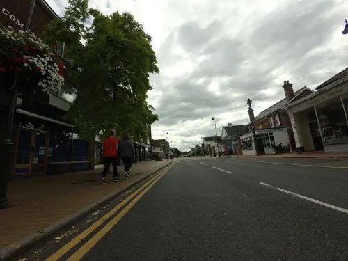
Babyccino
Cafe · Chicken, Coffee Shop, Breakfast · 1.5 mi
49 Commercial Road, Tonbridge
Mo-Tu 08:30-16:30, Th-Fr 08:30-16:30, Sa 09:00-16:00, Su 09:00-15:00
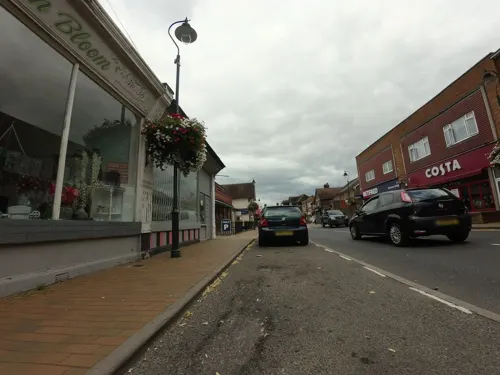
Costa
Cafe · Coffee Shop · 1.5 mi
41A Commercial Road, Paddock Wood
Mo-Fr 06:30-18:00; Sa 07:00-18:00; Su 08:30-17:00
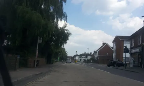
Simla Cuisine
Restaurant · Curry, Indian · 1.5 mi
2 Church Road, Tonbridge
Mo-Su 12:00-14:30; Mo-Th,Su 18:00-23:00; Fr-Sa 18:00-23:30; PH open
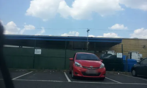
Top Nosh Cafe
Cafe · 1.5 mi
Henley Road, Tonbridge
Mo-Fr 06:30-14:00; Sa 07:00-12:00; PH closed
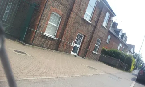
Bell's Fish Bar
Fast food · Fish And Chips · 1.3 mi
58-60 Maidstone Road, Tonbridge


4 more on the map.
Where to stay2

Churches and places of worship12
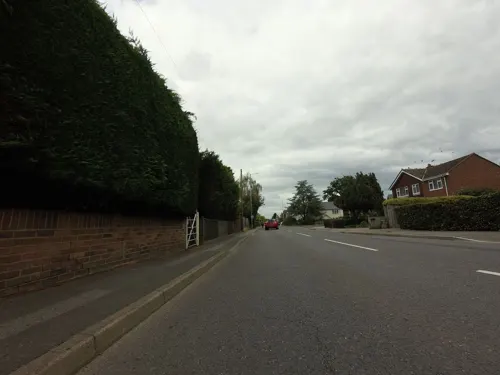
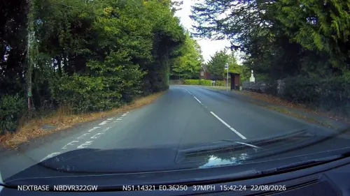
Chapel Of Ease Of St Luke
Church · 2.8 mi
Chapel in Brenchley, Tunbridge Wells, Kent, England, UK

Church of the Holy Trinity
Church · 2.6 mi
Church building in East Peckham, Tonbridge and Malling, Kent, England, UK

Parish Church of All Saints
Church · 3.0 mi
Church in Brenchley, Kent, England, UK
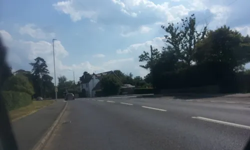
St Andrew's Church, Paddock Wood
Church · 1.4 mi
Church in Paddock Wood, Kent, England, UK

Church of All Saints
Church · 1.6 mi
Anglican church in Tudeley, Kent, England, UK
Church of St Thomas à Becket, Capel
Church · 0.8 mi
Church in Capel, Kent, England, UK
St Mary's Church, Hadlow
Church · 2.8 mi
Church in Hadlow, Kent, England, UK
St Justus Catholic Church
Church · Roman Catholic · 1.3 mi
Mount Pleasant, Paddock Wood

Shopping3
Gas and EV charging1
Schools, colleges and libraries3
Healthcare1
Paddock Wood Pharmacy
Clinic and pharmacy · 1.5 mi
10-12 Commercial Road, Paddock Wood, Tonbridge
Map of Five Oak Green
41 places. The map loads OpenStreetMap tiles when you open it.
Getting there and nearby towns
Rochester Airport (RCS) is the nearest airport with scheduled flights listed in OpenStreetMap, 13 miles away.
- Brenchley 3 mi southeast, about 5 min by car
- Tonbridge 4 mi west, about 6 min by car
- Yalding 4 mi northeast, about 7 min by car
- Horsmonden 4 mi southeast, about 7 min by car
- Royal Tunbridge Wells 5 mi southwest, about 9 min by car
- Lamberhurst 6 mi south, about 10 min by car
- Speldhurst 6 mi west, about 10 min by car
- Goudhurst 7 mi southeast, about 11 min by car
- Maidstone 9 mi northeast, about 15 min by car
- Sevenoaks 9 mi northwest, about 15 min by car
Drive times are estimates from straight-line distance, not routes.
Towns near Five Oak Green


Keep exploring
Local news
Headlines from INDB.
Reviews, tips and questions
Loading what members have shared...
Sources and licences
- GeoNames (CC BY 4.0): population, coordinates, regions and time zone
- Mapillary (see each image): photos
- OpenStreetMap contributors (ODbL 1.0): places, airports, map data
- Wikidata (CC0 1.0): elevation, founding date, time zone, website, landmarks and historic places
- Wikimedia Commons (see each image): photos
- Wikipedia (CC BY-SA 4.0): overview and history text
Photo credits
- Brenchley Wood 8, Dudley Miles, CC BY-SA 4.0
- Holy Trinity Church, East Peckham (NHLE Code 1070728), The Voice of Hassocks, CC0
- All Saints, Brenchley from south west, Poliphilo, CC0
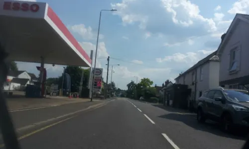
- Street-level photo, tallguy, CC BY-SA 4.0
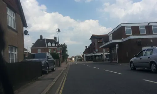
- Street-level photo, tallguy, CC BY-SA 4.0
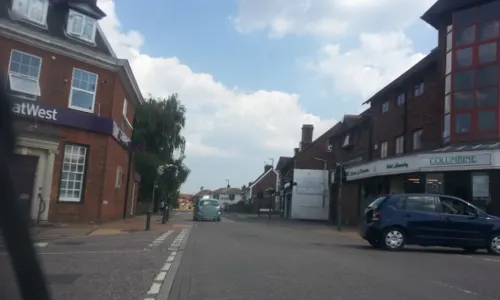
- Street-level photo, tallguy, CC BY-SA 4.0
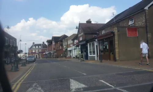
- Street-level photo, paulbiv, CC BY-SA 4.0
- Street-level photo, paulbiv, CC BY-SA 4.0
- Street-level photo, tallguy, CC BY-SA 4.0
- Street-level photo, paulbiv, CC BY-SA 4.0
- Street-level photo, paulbiv, CC BY-SA 4.0
- Street-level photo, paulbiv, CC BY-SA 4.0
- Street-level photo, paulbiv, CC BY-SA 4.0
- Street-level photo, tallguy, CC BY-SA 4.0
- Street-level photo, tallguy, CC BY-SA 4.0
- Street-level photo, paulbiv, CC BY-SA 4.0
- Street-level photo, paulbiv, CC BY-SA 4.0
- Street-level photo, paulbiv, CC BY-SA 4.0
- Street-level photo, paulbiv, CC BY-SA 4.0
- Street-level photo, paulbiv, CC BY-SA 4.0
- Street-level photo, tallguy, CC BY-SA 4.0
Page built November 10, 2026. Spotted a mistake? Tell us or suggest a place.