


Why visit Govilon
Townapedia lists 6 museums and landmarks, 4 parks and trails, 10 places to eat, 1 place to stay and 4 attractions in and around town.
Highlights include Abergavenny Bridge, Smart's Bridge, Abergavenny Museum and Blaenavon Ironworks.
Weather in Govilon
Forecast from MET Norway (CC BY 4.0). Full forecast
About Govilon
Govilon (Welsh: Gofilon) is a small Welsh village located between Llanfoist and Gilwern near Abergavenny in north Monmouthshire. It is part of the community of Llanfoist Fawr. The population was 1,447 in 2011.
From the Wikipedia article Govilon (this version), under CC BY-SA 4.0.
Things to do4

Abergavenny Bridge
Bridge · 1.4 mi
Bridge in Abergavenny, south-east Wales

Borough Theatre
Cinema and theater · 1.9 mi
Theatre in Abergavenny, Wales

Museums and landmarks6


Blaenavon Ironworks
Museum · 3.1 mi
Former ironworks transformed into a museum, in Blaenavon, Wales

Parks, trails and playgrounds4

Abergavenny Priory Deer Park
Park · 2.6 mi
Deer park in Abergavenny, Monmouthshire
Bailey Park
Park · 2.1 mi
Park in Abergavenny, Monmouthshire, Wales, UK

Restaurants and cafes10
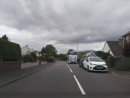
Corn Exchange
Bar and pub · 1.5 mi
54 Crickhowell Road, Abergavenny
Mo-Th 16:00-23:00; Fr 16:00-23:00; Sa 14:00-23:00; Su 12:00-21:00
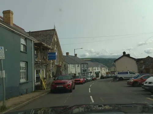
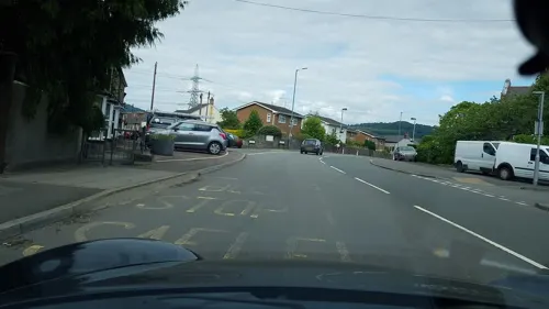
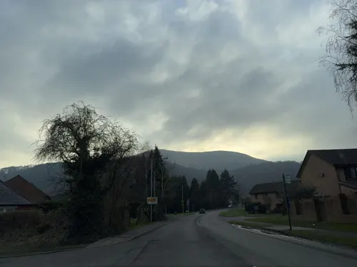

The Beaufort
Bar and pub · 1.4 mi
22 Main Road, Abergavenny
Mo-Fr 11:30-14:30,19:00-23:00; Sa 11:30-23:00; Su 11:30-14:00


Gilwern Village Fish Bar
Fast food · Fish And Chips · 1.4 mi
32a Main Road, Abergavenny
Mo-Sa 12:00-20:00; Su Off
More about Govilon
Arts and culture
The Monmouthshire and Brecon Canal passes through the village. The village has views overlooking the valley of the River Usk and up to the heights of the southern flank of the Black Mountains, Wales. Llanwenarth House, nearby, was built in the 16th century and is operated as a hotel.
From the Wikipedia article Govilon, under CC BY-SA 4.0.
Where to stay1
Churches and places of worship12
Shopping1
Gas and EV charging3
Schools, colleges and libraries2
Healthcare2
Velindre@Nevill Hall Radiotherapy Unit
Hospital · 1.2 mi
Brecon Road, Abergavenny
Map of Govilon
45 places. The map loads OpenStreetMap tiles when you open it.
Getting there and nearby towns
Cardiff Airport (CWL) is the nearest airport with scheduled flights listed in OpenStreetMap, 32 miles away.
- Abergavenny 2 mi east, about 3 min by car
- Brynmawr 5 mi west, about 9 min by car
- Ebbw Vale 7 mi southwest, about 11 min by car
- Abertillery 7 mi southwest, about 11 min by car
- Pontypool 8 mi south, about 13 min by car
- Tredegar 8 mi west, about 14 min by car
- Llangynidr 8 mi northwest, about 13 min by car
- Rhymney 10 mi southwest, about 17 min by car
- Raglan 10 mi southeast, about 16 min by car
- Cwmbran 12 mi south, about 19 min by car
Drive times are estimates from straight-line distance, not routes.
Towns near Govilon


Keep exploring
Local news
Headlines from INDB.
Reviews, tips and questions
Loading what members have shared...
Sources and licences
- GeoNames (CC BY 4.0): population, coordinates, regions and time zone
- Mapillary (see each image): photos
- OpenStreetMap contributors (ODbL 1.0): places, airports, map data
- Wikidata (CC0 1.0): elevation, founding date, time zone, website, landmarks and historic places
- Wikimedia Commons (see each image): photos
- Wikipedia (CC BY-SA 4.0): overview and history text
Photo credits
- Abergavenny Castle 1, Jeremy Bolwell, CC BY-SA 2.0
- Blaenafon Ironworks-24May2008, Alan Stanton, CC BY-SA 2.0
- Church of Our Lady and St Michael, Abergavenny, October 2018, No Swan So Fine, CC BY-SA 4.0
- St Elli's Church, Llanelly, Robevans123, CC BY-SA 3.0
- Priory Church of St Mary, Acomax, CC BY-SA 3.0
- Nevill Hall 291934 635c7783, Jennifer Luther Thomas, CC BY-SA 2.0
- Llanfoist Church, St Faith Monmouthshire, Alf Beard, CC0
- Abergavenny Bridge, South Side, WelshDave, CC BY-SA 4.0
- Street-level photo, southglos, CC BY-SA 4.0
- Street-level photo, laye, CC BY-SA 4.0
- Street-level photo, toho, CC BY-SA 4.0
- Street-level photo, southglos, CC BY-SA 4.0
- Street-level photo, southglos, CC BY-SA 4.0
- Street-level photo, laye, CC BY-SA 4.0
- Street-level photo, richardc, CC BY-SA 4.0
- Street-level photo, southglos, CC BY-SA 4.0
- Street-level photo, southglos, CC BY-SA 4.0
- Street-level photo, southglos, CC BY-SA 4.0
- Street-level photo, laye, CC BY-SA 4.0
- Street-level photo, editid, CC BY-SA 4.0

Page built November 10, 2026. Spotted a mistake? Tell us or suggest a place.