


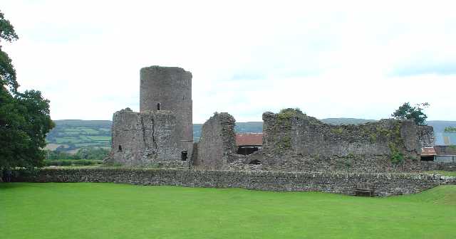

Llangynidr, United Kingdom
Llangynidr is a town of 1,036 people in Wales, United Kingdom.
Why visit Llangynidr
Townapedia lists 17 museums and landmarks, 8 parks and trails, 17 places to eat, 16 places to stay and 25 attractions in and around town.
Highlights include Beaufort Theatre, Crickhowell Bridge, Blaenllynfi Castle and Tretower Castle.
Weather in Llangynidr
Forecast from MET Norway (CC BY 4.0). Full forecast
About Llangynidr
Llangynidr is a village, community and electoral ward in Powys, Wales, about 4 miles (6.4 km) west of Crickhowell and 9 miles (14.5 km) south-east of Brecon. The River Usk flows through the village as does the Monmouthshire and Brecon Canal. It is in the historic county of Brecknockshire.
From the Wikipedia article Llangynidr (this version), under CC BY-SA 4.0.
Things to do25
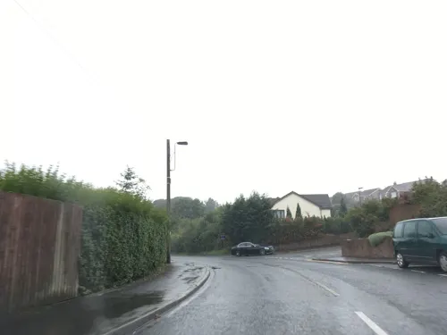
Beaufort Theatre
Cinema and theater · 4.9 mi
Theatre in Blaenau Gwent, Wales



Llangynidr Moors Viewpoint
Scenic view · 1.5 mi
High viewpoint with clear views to the north towards Llangorse Lake and the Brecon Beacons.
13 more on the map.
Museums and landmarks17

Blaenllynfi Castle
Monument and historic site · 2.2 mi
Castle ruins owned by Cadw




5 more on the map.
Parks, trails and playgrounds8



Restaurants and cafes17
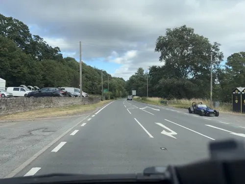
Nantyffin Cider Mill Inn
Bar and pub · 2.6 mi
Mo-We off; Th 12:00-22:00; Fr,Sa 12:00-22:00; Su 12:00-18:00
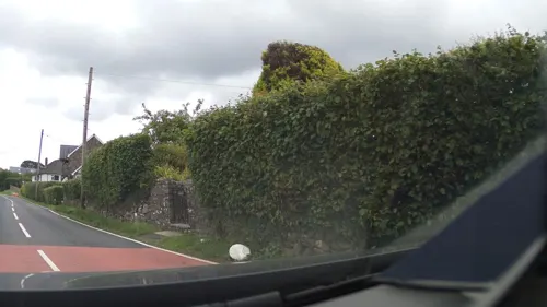

White Hart
Bar and pub · 3.2 mi
Th,Fr 12:00-22:00; Sa 12:00-23:00; Mo-We off; Su 12:00-19:00


5 more on the map.
History
Sir William Herbert, Knight of Raglan Castle, was granted the manors of Tretower Castle and Crickhowell just after the accession of Edward IV in 1442. At that time this village was part of the manor of Tretower.
The land was then in the ownership of the Earls of Worcester until the nineteenth and early twentieth century when much of Llangynidr was part of the Glanusk Park estate.
On the moors to the southeast of the village lies the Chartist Cave, the name of which derives from 1839 when Chartist rebels used the cave to stockpile weapons in advance of their march on Newport. There is a plaque at the entrance of the cave commemorating their actions.
Until the 20th century, the principal language in Llangynidr was Welsh. For example, in his 1893 book Wales and her language, John E Southall, reports that over 60% of the population of Crickhowell and Llangynidr spoke Welsh, although the town was only a few miles from more anglicised Abergavenny. Welsh services persisted in at least one chapel in Llangynidr into the 1970s.
From the History section of Llangynidr on Wikipedia, under CC BY-SA 4.0.
Notable people from Llangynidr

Born in Llangynidr, according to Wikidata (CC0). Each name links to its Wikipedia article.
Where to stay16
Churches and places of worship9
Shopping3
Gas and EV charging1
Schools, colleges and libraries4
Map of Llangynidr
100 places. The map loads OpenStreetMap tiles when you open it.
Getting there and nearby towns
Cardiff Airport (CWL) is the nearest airport with scheduled flights listed in OpenStreetMap, 33 miles away.
- Brynmawr 5 mi south, about 8 min by car
- Ebbw Vale 6 mi south, about 10 min by car
- Tredegar 7 mi south, about 11 min by car
- Rhymney 8 mi south, about 13 min by car
- Talgarth 9 mi north, about 14 min by car
- Abergavenny 10 mi east, about 15 min by car
- Merthyr Tydfil 10 mi southwest, about 17 min by car
- Abertillery 10 mi southeast, about 17 min by car
- Bargoed 13 mi south, about 20 min by car
- Pontypool 14 mi southeast, about 22 min by car
Drive times are estimates from straight-line distance, not routes.
Towns near Llangynidr


Keep exploring
Local news
Headlines from INDB.
Reviews, tips and questions
Loading what members have shared...
Sources and licences
- GeoNames (CC BY 4.0): population, coordinates, regions and time zone
- Mapillary (see each image): photos
- OpenStreetMap contributors (ODbL 1.0): places, airports, map data
- Wikidata (CC0 1.0): elevation, founding date, time zone, website, landmarks and historic places
- Wikimedia Commons (see each image): photos
- Wikipedia (CC BY-SA 4.0): overview and history text
Photo credits
- Crickhowell, Wales IMG 0406.jpg - panoramio, Paul Lakin, CC BY 3.0
- St Elli's Church, Llanelly, Robevans123, CC BY-SA 3.0
- Part of the remains of Blaenllyfni Castle 3480079 f5566f1b, Jeremy Bolwell, CC BY-SA 2.0
- Crickhowell High School building, [email protected], CC BY 2.0
- Tretower Castle, Pete Chapman, CC BY-SA 2.0
- Bethabara Baptist Chapel, WelshDave, CC BY-SA 4.0
- Talybont ar Wysg - The White Hart Inn, Alan Spencer, CC BY-SA 2.0
- Tretower Court (36879457253), Ben Salter from Wales, CC BY 2.0
- Street-level photo, swinetown, CC BY-SA 4.0
- Street-level photo, southglos, CC BY-SA 4.0
- Street-level photo, southglos, CC BY-SA 4.0
- Street-level photo, southglos, CC BY-SA 4.0
- Street-level photo, southglos, CC BY-SA 4.0
- Street-level photo, trigpoint, CC BY-SA 4.0
- Street-level photo, trigpoint, CC BY-SA 4.0
- Street-level photo, southglos, CC BY-SA 4.0
- Street-level photo, trigpoint, CC BY-SA 4.0
- Street-level photo, southglos, CC BY-SA 4.0
- Street-level photo, trigpoint, CC BY-SA 4.0
- Street-level photo, southglos, CC BY-SA 4.0
Page built November 10, 2026. Spotted a mistake? Tell us or suggest a place.