


Why visit Snaith
Townapedia lists 3 museums and landmarks, 1 park or trail and 12 places to eat in and around town.
Highlights include Carlton Towers and Snaith Town Lock-up.
Weather in Snaith
Forecast from MET Norway (CC BY 4.0). Full forecast
About Snaith
Snaith is a market town in the civil parish of Snaith and Cowick in the East Riding of Yorkshire, England.
From the Wikipedia article Snaith (this version), under CC BY-SA 4.0.
Museums and landmarks3

Parks, trails and playgrounds1
Restaurants and cafes12

Churches and places of worship8
Saint Mary's Catholic Church
Church · Roman Catholic · 1.4 mi
The Roman Catholic Parish Church of Saint Mary’s Carlton and Selby
Station Road, Goole
Church of St Mary
Church · 1.3 mi
Church building in Carlton, Selby, North Yorkshire, England, UK

Church of St Peter and St Paul
Church · 3.4 mi
Church in Drax, North Yorkshire, England, UK

History
The name Snaith derives from the Old Scandinavian word sneið, meaning ‘piece of land cut off’. The name was recorded in its modern-day form in c. 1080 but in Domesday Book of 1086 it appears as Esneid.
The priory church, dedicated to St Laurence, was granted to Selby Abbey by Archbishop Gerard in the early twelfth century and became a small Benedictine cell of that house. In 1310 it was appropriated to Selby, with two monks made resident alongside a secular priest. Snaith received a royal charter to hold markets and fairs in 1223 under Henry III. For centuries the parish exercised its own ecclesiastical jurisdiction as a peculiar, with proceedings held in a local consistory court.
The church is low and wide, with pinnacles. Its core is Norman and cruciform but the tower, at the west end, is Early English. The chancel is Decorated Gothic and the nave has Perpendicular arcades and a high clerestory. Glass in the chancel window is by Francis Spear and there is a notable monument to Viscount Downe by Francis Chantrey.
The church was designated a Grade I listed building in 1967 and is now recorded in the National Heritage List for England, maintained by Historic England. Part of the former priory garth was taken when the railway was laid out along the north edge of the town between the church and the River Aire.
Read more of the history
During the Second World War a bomber airfield, RAF Snaith, was established nearby at Pollington and operated from 1941 to 1946.
From the History section of Snaith on Wikipedia, under CC BY-SA 4.0.
More about Snaith
Geography
Snaith is located south of the River Aire, on the edge of the Lower Aire Washlands, where water is held in designated basins such as Snaith Ings during periods of high flow.
The principal landmark is the Priory Church of St Laurence, which is listed at Grade I. Other notable buildings include Snaith Hall, a small early 19th-century country house on Pontefract Road listed at Grade II, and the former lock-up in the Butter Market, also Grade II. Several buildings along the high street are also listed.
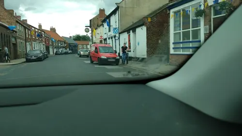
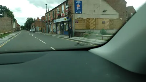
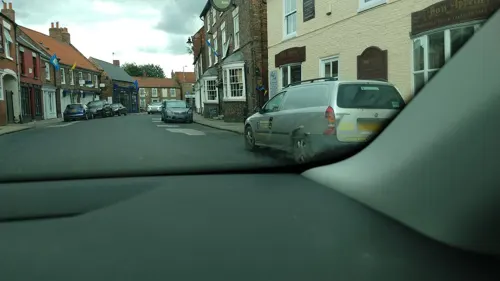
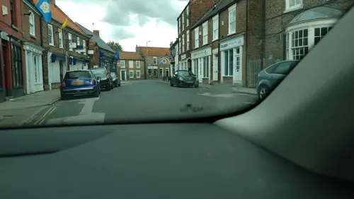
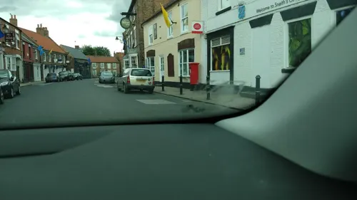
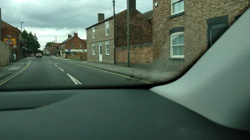
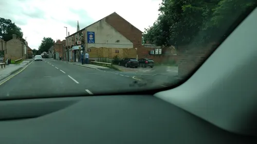
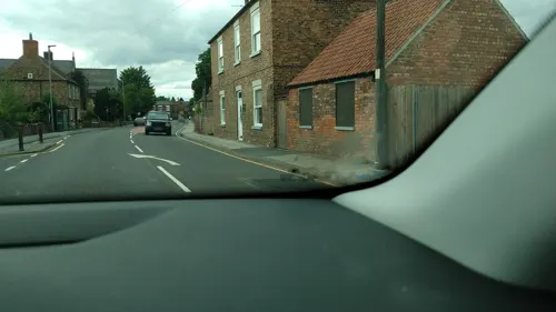
Snaith town centre has a variety of amenities and many pubs and restaurants, takeaway and shops. The priory church is on the western side of town and Snaith Hall is immediately south of the town. The town also has a Methodist church on Cowick Road, a doctor's surgery on Butt Lane and a fire station in the Market Place.
From the Wikipedia article Snaith, under CC BY-SA 4.0.
Notable people from Snaith
- Thomas SuttonEnglish civil servant and businessman. Founder of Charterhouse; (1532-1611)
Born in Snaith, according to Wikidata (CC0). Each name links to its Wikipedia article.
Shopping2
Gas and EV charging1
Schools, colleges and libraries3
Cowick Church of England Voluntary Controlled Primary School
School · Anglican · 1.3 mi
Snaith Road, Goole
Healthcare1
Map of Snaith
31 places. The map loads OpenStreetMap tiles when you open it.
Getting there and nearby towns
Leeds Bradford Airport (LBA) is the nearest airport with scheduled flights listed in OpenStreetMap, 29 miles away.
- Camblesforth 2 mi north, about 4 min by car
- Thorne 6 mi southeast, about 10 min by car
- Goole 6 mi east, about 10 min by car
- Hemingbrough 6 mi north, about 9 min by car
- Selby 7 mi north, about 11 min by car
- Campsall 8 mi southwest, about 13 min by car
- Kirk Sandall 9 mi south, about 15 min by car
- Knottingley 9 mi west, about 15 min by car
- Adwick le Street 10 mi southwest, about 17 min by car
- Pontefract 12 mi west, about 19 min by car
Drive times are estimates from straight-line distance, not routes.
Towns near Snaith


Keep exploring
Local news
Headlines from INDB.
Reviews, tips and questions
Loading what members have shared...
Sources and licences
- GeoNames (CC BY 4.0): population, coordinates, regions and time zone
- Mapillary (see each image): photos
- OpenStreetMap contributors (ODbL 1.0): places, airports, map data
- Wikidata (CC0 1.0): elevation, founding date, time zone, website, landmarks and historic places
- Wikimedia Commons (see each image): photos
- Wikipedia (CC BY-SA 4.0): overview and history text
Photo credits
- St Peter and St Paul Drax, Chemical Engineer, CC BY-SA 3.0
- Carlton Towers, Drew Bates, CC BY 2.0
- Street-level photo, steverobbo, CC BY-SA 4.0
- Street-level photo, cuttlebug, CC BY-SA 4.0
- Street-level photo, endszbrxns, CC BY-SA 4.0
- Street-level photo, steverobbo, CC BY-SA 4.0
- Street-level photo, steverobbo, CC BY-SA 4.0
- Street-level photo, steverobbo, CC BY-SA 4.0
- Street-level photo, steverobbo, CC BY-SA 4.0
- Street-level photo, steverobbo, CC BY-SA 4.0
- Street-level photo, steverobbo, CC BY-SA 4.0
- Street-level photo, steverobbo, CC BY-SA 4.0
- Street-level photo, steverobbo, CC BY-SA 4.0
- Street-level photo, steverobbo, CC BY-SA 4.0
- Street-level photo, steverobbo, CC BY-SA 4.0
- Street-level photo, steverobbo, CC BY-SA 4.0
- Street-level photo, steverobbo, CC BY-SA 4.0
- Street-level photo, steverobbo, CC BY-SA 4.0
- Street-level photo, steverobbo, CC BY-SA 4.0
- Street-level photo, steverobbo, CC BY-SA 4.0
- Street-level photo, steverobbo, CC BY-SA 4.0
- Street-level photo, steverobbo, CC BY-SA 4.0
Page built November 10, 2026. Spotted a mistake? Tell us or suggest a place.