


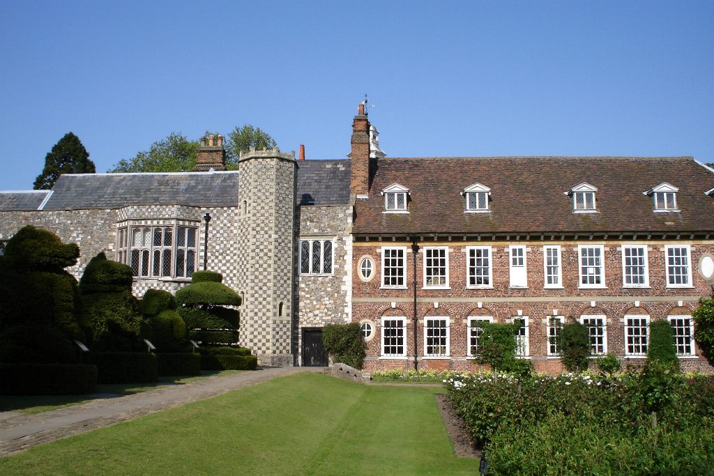
Why visit Welling
Townapedia lists 13 museums and landmarks, 42 parks and trails, 126 places to eat, 2 places to stay and 5 attractions in and around town.
Highlights include Bob Hope Theatre, Woodlands Farm, Red House and Danson House.
Weather in Welling
Forecast from MET Norway (CC BY 4.0). Full forecast
About Welling
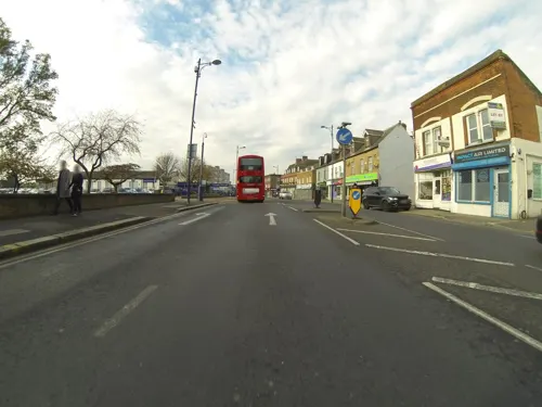
Welling is a town in South East London, England, in the London Borough of Bexley, 1.5 miles (2.4 km) west of Bexleyheath, 4 miles (6.4 km) southeast of Woolwich and 10.5 miles (16.9 km) of Charing Cross. It was part of Kent prior to the creation of Greater London in 1965.
From the Wikipedia article Welling (this version), under CC BY-SA 4.0.
Photos of Welling


Things to do5

Bob Hope Theatre
Cinema and theater · 2.7 mi
Community theatre in Eltham, Royal Borough of Greenwich, London, England


Erith Playhouse
Cinema and theater · 2.8 mi
Theatre in Erith, Bexley, London, England, formerly a cinema

Thames Gateway Bridge
Bridge · 3.3 mi
Proposed new crossing of the River Thames, in east London, England
Museums and landmarks13

Red House
Museum · 1.1 mi
Grade I listed historic house museum, former home of William Morris
Red House Lane

Danson House
Monument and historic site · 0.6 mi
Grade I listed historic house museum in London Borough of Bexley, United Kingdom


Greenwich Heritage Centre
Museum · 2.8 mi
Former museum in local history resource centre in Woolwich, London, UK

Hall Place and Gardens
Museum · 2.4 mi
Grade I listed house and museum in Bexley, Greater London, England, United Kingdom

North Woolwich Old Station Museum
Museum · 3.2 mi
Former railway museum in North Woolwich, London, opened 1984, closed 2008


Royal Artillery Museum
Museum · 2.7 mi
Closed military museum in London, United Kingdom

South African War Memorial
Monument and historic site · 2.5 mi
War memorial in Woolwich, London


Metropolitan Police Museum
Museum · 2.0 mi
Law enforcement museum in London, England

Bexleyheath War Memorial
Monument and historic site · 1.4 mi
Http://www.flickr.com/photos/kenjonbro/3231278078/
1 more on the map.
Parks, trails and playgrounds42

Danson Park
Park · 0.6 mi
Park in the London Borough of Bexley, England, UK


Gilbert's Pit
Park · 3.4 mi
Nature reserve in Charlton, London, England

Lesnes Abbey Woods
Park · 2.0 mi
Area of ancient woodland in southeast London, England

Shoulder of Mutton Green
Park · 0.7 mi
Public open space in Welling, London, England

Charlton Park, Greenwich
Park · 3.0 mi
Park in Royal Borough of Greenwich, United Kingdom
30 more on the map.
Restaurants and cafes126

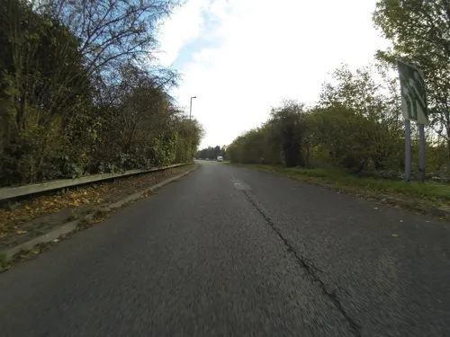
The Falcon Harvester
Diner · American · 1.2 mi
Lingfield Crescent, London
Mo-Sa 09:00-23:00; Su 09:00-22:00
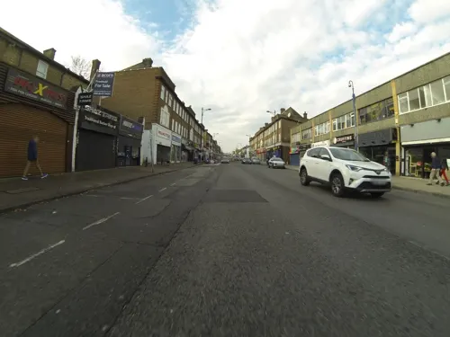
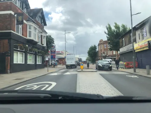
The Door Hinge
Bar and pub
11 Welling High Street
Tu-Th 15:00-17:00; Fr 15:00-22:00; Sa 12:00-22:00; Su 12:00-17:00


Spices
Restaurant · Indian · 1.3 mi
48 Lessness Avenue, Bexleyheath
17:00-23:00


114 more on the map.
History
The East Wickham part of Welling is probably one of the oldest settlements in this area. A Neolithic stone axe was found in East Wickham in 1910, and remains of Roman buildings were unearthed near Danson in 1989.
Before opening of the Bexleyheath Line on 1 May 1895, Welling was a village on the main road from London into Kent (Watling Street). It had been a traditional staging post for coaches; the presence of three inns along the main road is the result of that.
After World War I, Bexley Urban District Council built over 400 houses north of the railway. Later, when the Danson estate was sold to developers, the land to the south was opened up to suburban sprawl and the settlement incorporated the local parishes of St Michael's East Wickham and St Johns Welling
The area was part of the Municipal Borough of Bexley in the administrative county of Kent until, in 1965, the borough was abolished under the London Government Act 1963 and its area transferred to Greater London to form part of the present-day London Borough of Bexley.
For five years after 1990, the headquarters of the far-right British National Party (formed in 1982) were based in Welling. The area became the scene of anti-racist riots in 1993. Bexley Council shut down the BNP Headquarters in 1995.
Read more of the history
In 1992 a group of local people, led by local Councillor Nigel Betts, revived the old Memorial Hall Trust which was set up in 1921. In 1995 it started operation as a local grant giving charity called the East Wickham & Welling War Memorial Trust[1] using the revenue from the old hall to fund grants in the area. Its main aim is remember the men of the district who were killed in World War One so a new War Memorial was built in 1996. Its charitable aim is to help local groups with rents on their meeting places or to help groups maintain their halls. Other grants help young people with adventurous activities and there is an annual academic bursary. In 2006 it gave grants totaling £47,000. As part of a re-investment programme, the Trust sold the Hall for a housing redevelopment in 2007.
A major upgrade of paving and street lighting was completed in the autumn of 2005. The retention or removal of a section of westbound bus lane from Welling High Street became one of the few specific local issues on which the main political parties disagreed in the approach to the local Bexley Council elections held on 4 May 2006. The incoming Conservative administration immediately revoked the bus lane.
The MECCA bingo hall in Upper Wickham Lane has ceased trading, apparently one of nine in England unsuited to operate after the national ban on smoking in public places. This large building, which originally was an Odeon cinema is operating now as Freedom Centre International, a Pentecostal Church.
From the History section of Welling on Wikipedia, under CC BY-SA 4.0.
More about Welling
Arts and culture
The "Old Koffi Pot" café, dating from the 1930s was until the early 1990s known as 'Ferrara's'. The venue was well known locally for its ice cream and enjoyed its heyday at the height of the 1960s cafe culture, when young people from Kent and South East London would call in for refreshments on the way to or from dancing at the Embassy Ballroom (since demolished to make way for the building of Embassy Court). The "Old Koffi Pot" closed in 2009 for 'economic reasons', but a modern coffee shop has since opened in its place retaining the name "The Koffi Shop" but a brand new black frontage and interior decor have removed any historical link with the original establishment.
From the Wikipedia article Welling, under CC BY-SA 4.0.
Notable people from Welling
 Kate BushEnglish singer, pianist and songwriter (born 1958)Photo: Guido Harari, Public domain
 Paul DunmallBritish jazz musicianPhoto: Richard Kaby, CC BY 2.0
 Billy BinghamEnglish association football player (born 1990)Photo: Unknown author, CC BY-SA 4.0
 Ian KentCanadian para table tennis playerPhoto: OhanaUnited Talk page, CC BY-SA 4.0
- Charlie WilliamsEnglish footballer and manager (1873-1952)
- Gary BrownEnglish cricketer (born 1965)
- Ian GayleBritish association football player (born 1992)
- Bill PeytoCanadian pioneer and mountain guide
- Peter Cottrellcricketer (born 1957)
- Len BeadleBritish music publisher and songwriter
- Ernest GreenwoodBritish painter (1913–2009)
- John WallerEnglish fight director (1940–2018)
Born in Welling, according to Wikidata (CC0). Each name links to its Wikipedia article.
Where to stay2
Churches and places of worship42
Shopping15
Gas and EV charging6
Schools, colleges and libraries37
Bishop Ridley Church of England VA Primary School
School · Anglican · 0.8 mi
Northumberland Avenue, Welling
Our Lady of the Rosary Catholic Primary School
School · Roman Catholic · 1.2 mi
Holbeach Gardens, Sidcup
St Michael's East Wickham Church of England Primary School
School · Anglican · 0.7 mi
Wrotham Road, Welling
Healthcare8
Map of Welling
250 places. The map loads OpenStreetMap tiles when you open it.
Getting there and nearby towns
London City Airport (LCY) is the nearest airport with scheduled flights listed in OpenStreetMap, 4 miles away.
- Abbey Wood 2 mi north, about 3 min by car
- Plumstead 2 mi northwest, about 3 min by car
- Bexley 2 mi southeast, about 4 min by car
- Sidcup 3 mi south, about 4 min by car
- Thamesmead 3 mi north, about 5 min by car
- Charlton 3 mi northwest, about 5 min by car
- Kidbrooke 3 mi west, about 6 min by car
- Chislehurst 4 mi southwest, about 6 min by car
- Blackheath 4 mi west, about 7 min by car
- Barking 5 mi north, about 8 min by car
Drive times are estimates from straight-line distance, not routes.
Towns near Welling


Keep exploring
Local news
Headlines from INDB.
Reviews, tips and questions
Loading what members have shared...
Sources and licences
- GeoNames (CC BY 4.0): population, coordinates, regions and time zone
- Mapillary (see each image): photos
- OpenStreetMap contributors (ODbL 1.0): places, airports, map data
- Wikidata (CC0 1.0): elevation, founding date, time zone, website, landmarks and historic places
- Wikimedia Commons (see each image): photos
- Wikipedia (CC BY-SA 4.0): overview and history text
Photo credits
- Eltham highstreet 3, PeterEltham, CC BY-SA 3.0
- The Red House, Bexleyheath, Velela, Public domain
- Danson Mansion, Stacey Harris, CC BY-SA 2.0
- 1212906 II Star ELTHAM COURT (ELTHAM PALACE), COURT YARD, from SW Greenwich London 20250610 0005, Tilman2007, CC BY-SA 4.0
- Flickr - davehighbury - Royal Arsenal Woolwich London 039 (cropped), DAVID HOLT from London, England, CC BY-SA 2.0
- HallPlace, Wellingwebsite at English Wikipedia Later versions were uploaded by P Ingerson at en.wikipedia ., Public domain
- London-Woolwich, Second Boer War Memorial 03, Kleon3, CC BY-SA 4.0
- Danson Park, Stacey Harris, CC BY-SA 2.0
- Birdbrook Road Nature Reserve 4, Dudley Miles, CC BY-SA 4.0
- Wansunt Pit, Dudley Miles, CC BY-SA 3.0
- Crossness Nature Reserve 1, Dudley Miles, CC BY-SA 3.0
- Five Arches, Foots Cray Meadows, Midnightblueowl at English Wikipedia, CC BY-SA 3.0
- Gilberts Pit, London Borough of Greenwich, SE7 (2252315297), Ewan Munro from London, UK, CC BY-SA 2.0
- Nave of Lesnes Abbey, Ethan Doyle White, CC BY-SA 4.0
- St John the Baptist Church Tower in Eltham, Chris Roberts, CC BY-SA 4.0
- Church of St Nicholas plumstead, Simon Armstrong, CC BY-SA 3.0
- Northwest View of the Church of Saint Paulinus, Crayford (01), Doyle of London, CC BY-SA 4.0
- Woolwich Granada Cinema, Simon Armstrong, CC BY-SA 3.0
- Woolwich, Beresford Square, c 1835, Unknown author, Public domain
- New Wine Church building, Danny Robinson, CC BY-SA 2.0
- Christ Church, Bexleyheath 01, Paul the Archivist, CC BY-SA 4.0
- The Crook Log Pub in Bexleyheath, Ethan Doyle White, CC BY-SA 4.0
- Wrong Un, Bexleyheath, DA6 (3416173552), Ewan Munro from London, UK, CC BY-SA 2.0
- The George Webb Memorial in Plumstead, Ethan Doyle White, CC BY-SA 4.0
- Eltham Common path, Dudley Miles, CC BY-SA 3.0
- Cap badge of Queens Gurkha Signals, Crowthrower, CC BY-SA 3.0
- Sirmoor2GR, Crowthrower, CC BY-SA 3.0
- London, North Woolwich Old Station Museum 01, Kleon3, CC BY-SA 4.0
- London-Woolwich, Rotunda 06, Kleon3, CC BY-SA 4.0
- Flickr - davehighbury - Royal Artillery Museum Woolwich London 158, DAVID HOLT from London, England, CC BY-SA 2.0
- Street-level photo, jjhaslanded, CC BY-SA 4.0
- Street-level photo, jjhaslanded, CC BY-SA 4.0
- Street-level photo, wasd42, CC BY-SA 4.0
- Street-level photo, wasd42, CC BY-SA 4.0
- Street-level photo, jjhaslanded, CC BY-SA 4.0
- Street-level photo, jjhaslanded, CC BY-SA 4.0
- Street-level photo, wasd42, CC BY-SA 4.0
- Street-level photo, jjhaslanded, CC BY-SA 4.0
- Street-level photo, wasd42, CC BY-SA 4.0
- Street-level photo, jjhaslanded, CC BY-SA 4.0
- Street-level photo, jjhaslanded, CC BY-SA 4.0
- Street-level photo, wasd42, CC BY-SA 4.0
- Street-level photo, jjhaslanded, CC BY-SA 4.0
- Street-level photo, tallguy, CC BY-SA 4.0
- Street-level photo, tallguy, CC BY-SA 4.0
- Street-level photo, wasd42, CC BY-SA 4.0
- Street-level photo, wasd42, CC BY-SA 4.0
- Street-level photo, wasd42, CC BY-SA 4.0
- Street-level photo, wasd42, CC BY-SA 4.0


Page built November 10, 2026. Spotted a mistake? Tell us or suggest a place.